MyTopo
Paramore Crater Arizona US Topo Map
Couldn't load pickup availability
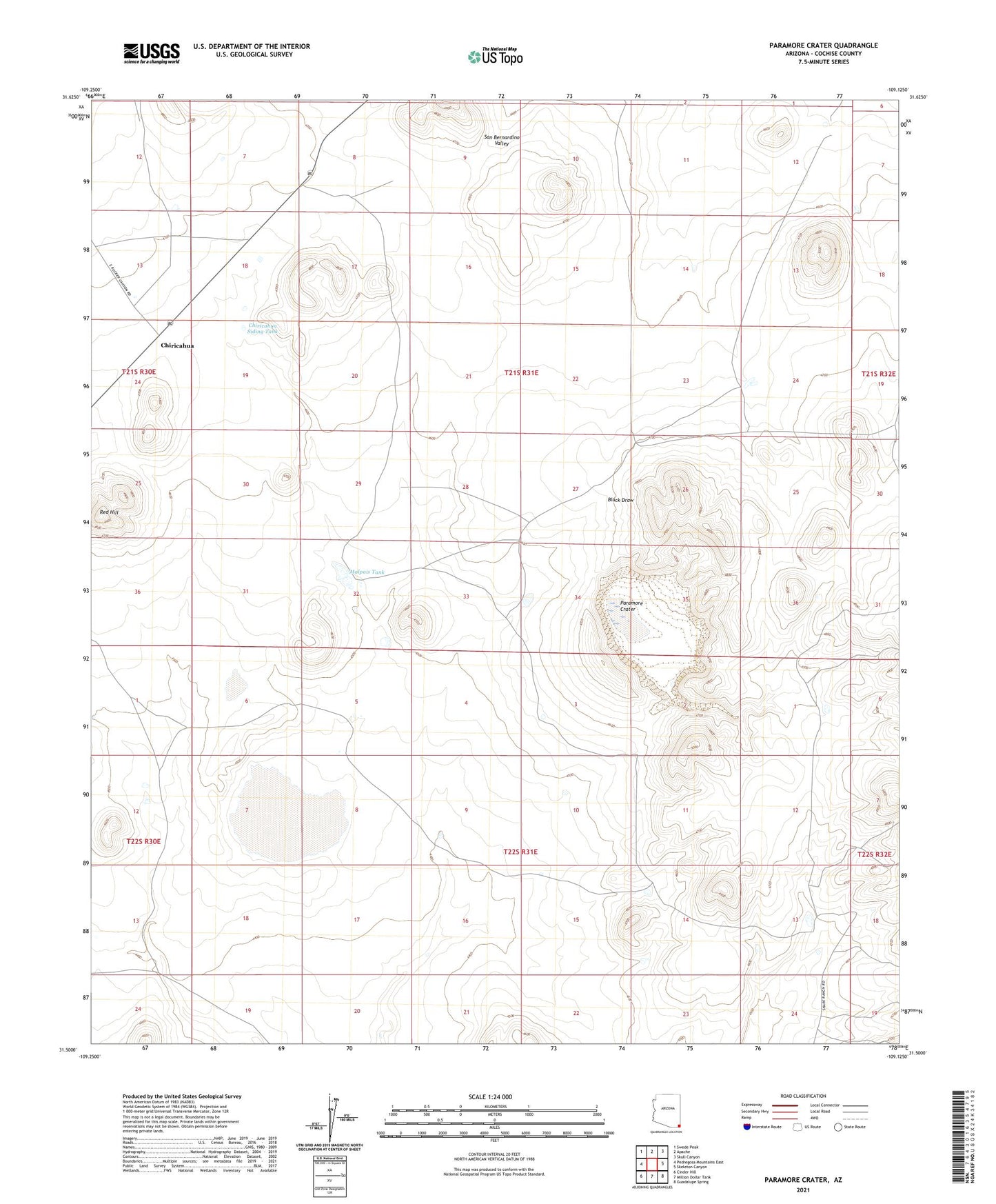
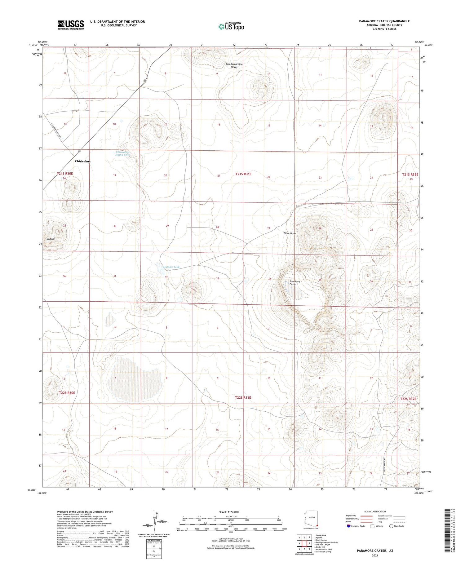
2021 topographic map quadrangle Paramore Crater in the state of Arizona. Scale: 1:24000. Based on the newly updated USGS 7.5' US Topo map series, this map is in the following counties: Cochise. The map contains contour data, water features, and other items you are used to seeing on USGS maps, but also has updated roads and other features. This is the next generation of topographic maps. Printed on high-quality waterproof paper with UV fade-resistant inks.
Quads adjacent to this one:
West: Pedregosa Mountains East
Northwest: Swede Peak
North: Apache
Northeast: Skull Canyon
East: Skeleton Canyon
Southeast: Guadalupe Spring
South: Million Dollar Tank
Southwest: Cinder Hill
This map covers the same area as the classic USGS quad with code o31109e2.
Contains the following named places: Chiricahua, Chiricahua Siding Tank, Fairchild Ranch, Lems Spring Overpass, Malpais Tank, Paramore Crater, Red Hill