MyTopo
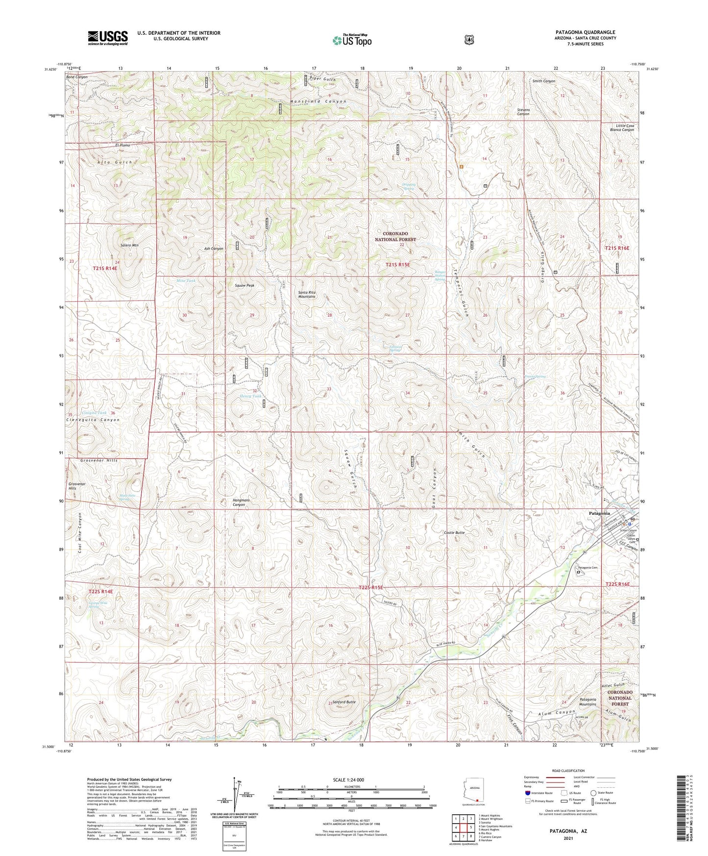
Patagonia Arizona US Topo Map
Couldn't load pickup availability
Also explore the Patagonia Forest Service Topo of this same quad for updated USFS data
2023 topographic map quadrangle Patagonia in the state of Arizona. Scale: 1:24000. Based on the newly updated USGS 7.5' US Topo map series, this map is in the following counties: Santa Cruz. The map contains contour data, water features, and other items you are used to seeing on USGS maps, but also has updated roads and other features. This is the next generation of topographic maps. Printed on high-quality waterproof paper with UV fade-resistant inks.
Quads adjacent to this one:
West: San Cayetano Mountains
Northwest: Mount Hopkins
North: Mount Wrightson
Northeast: Sonoita
East: Mount Hughes
Southeast: Harshaw
South: Cumero Canyon
Southwest: Rio Rico
This map covers the same area as the classic USGS quad with code o31110e7.
Contains the following named places: Akes, Alto Group, Alum Canyon, Alum Gulch, Aztec Gulch, Aztec Mill, Bell Mare Mining Camp, Bland Mine, Bradford Mine, Burro Mine, Castle Butte, CCC Canyon, Cieneguita Canyon, Cinigita Tank, Dragon Z Mine, Dripping Spring, El Plomo, Eureka Mine, Farallon, Flux, Flux Canyon, Fresno Spring, Gatlin Jones Cemetery, Gatlin Ranch, George Wise Spring, Goat Canyon, Gringo Gulch, Happy Jack Mine, Hard Luck Ranch, Henry Tank, Ivanhoe Mine, Jefferson Mine, Johnson Spring, Joplin Mine, Last Chance Mine, Lee Shaft, Lowells, Malony, Mammoth Mine, Mansfield Canyon, Mansfield Group, Marshalls, Marshal's Police Department, Mata Siete Spring, Mine Tank, Mohawk Mine, Montezuma Mine, Montezuma Well, Patagonia, Patagonia Cemetery, Patagonia Community Church, Patagonia Post Office, Patagonia Public Library, Patagonia School of Montessori, Piper Gulch, Ranger Station Spring, Rosario Mine, Royal Blue Mine, Saint Theresa of Lisieux Roman Catholic Church, Salero Mine, Salero Mountain, San Ramon Mine, Sanford Butte, Santa Cruz County, School Canyon, Siphon Well, Smith Gulch, Squaw Gulch, Squaw Peak, Temporal Gulch, Titus, Town of Patagonia Landfill, Trenton Mine, Viceroy Mine, Victor Mine, Wadsworths, Wandering Jew Group, Wards, Weatherhead Ranch


