MyTopo
Piney Hill Arizona US Topo Map
Couldn't load pickup availability
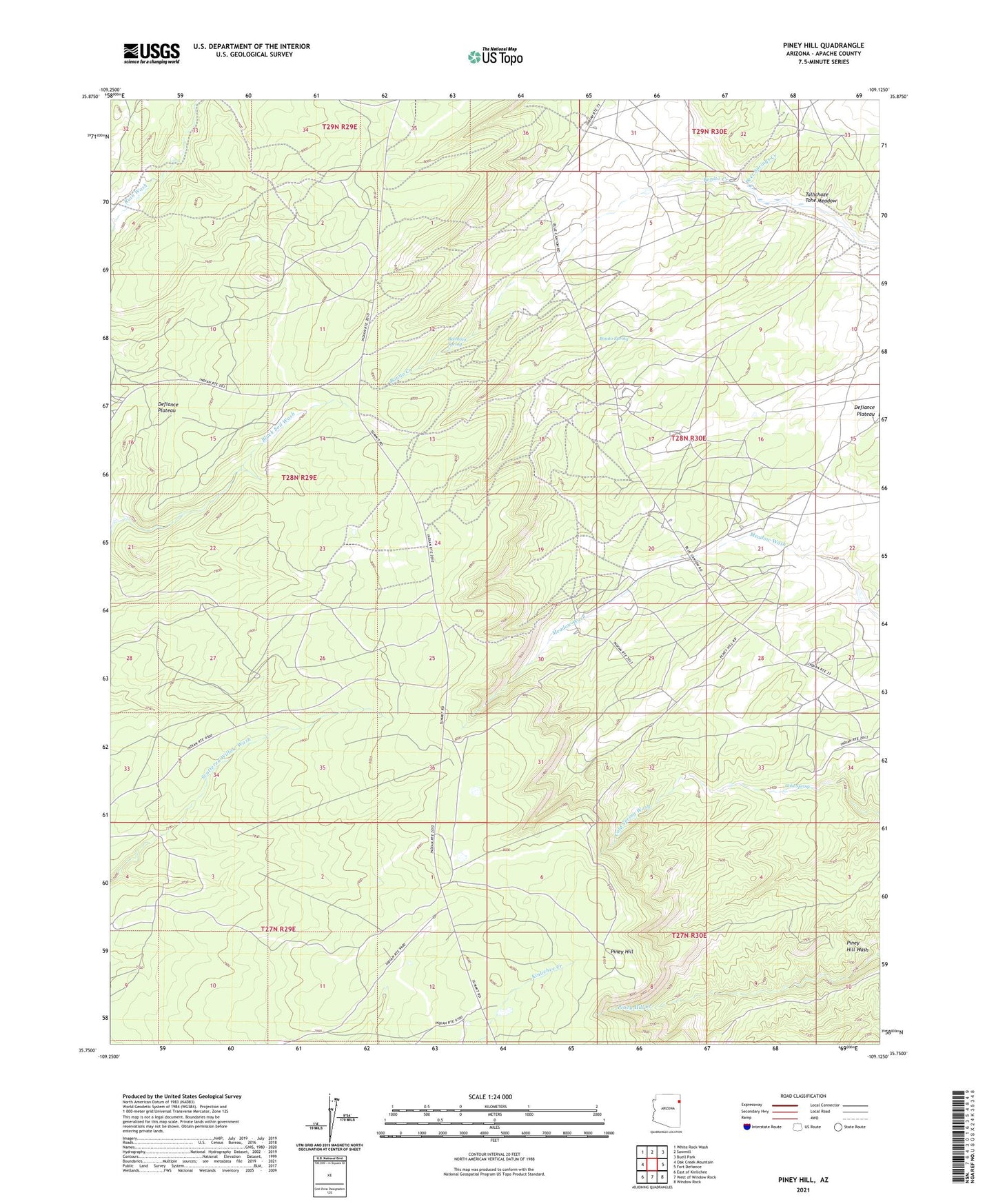
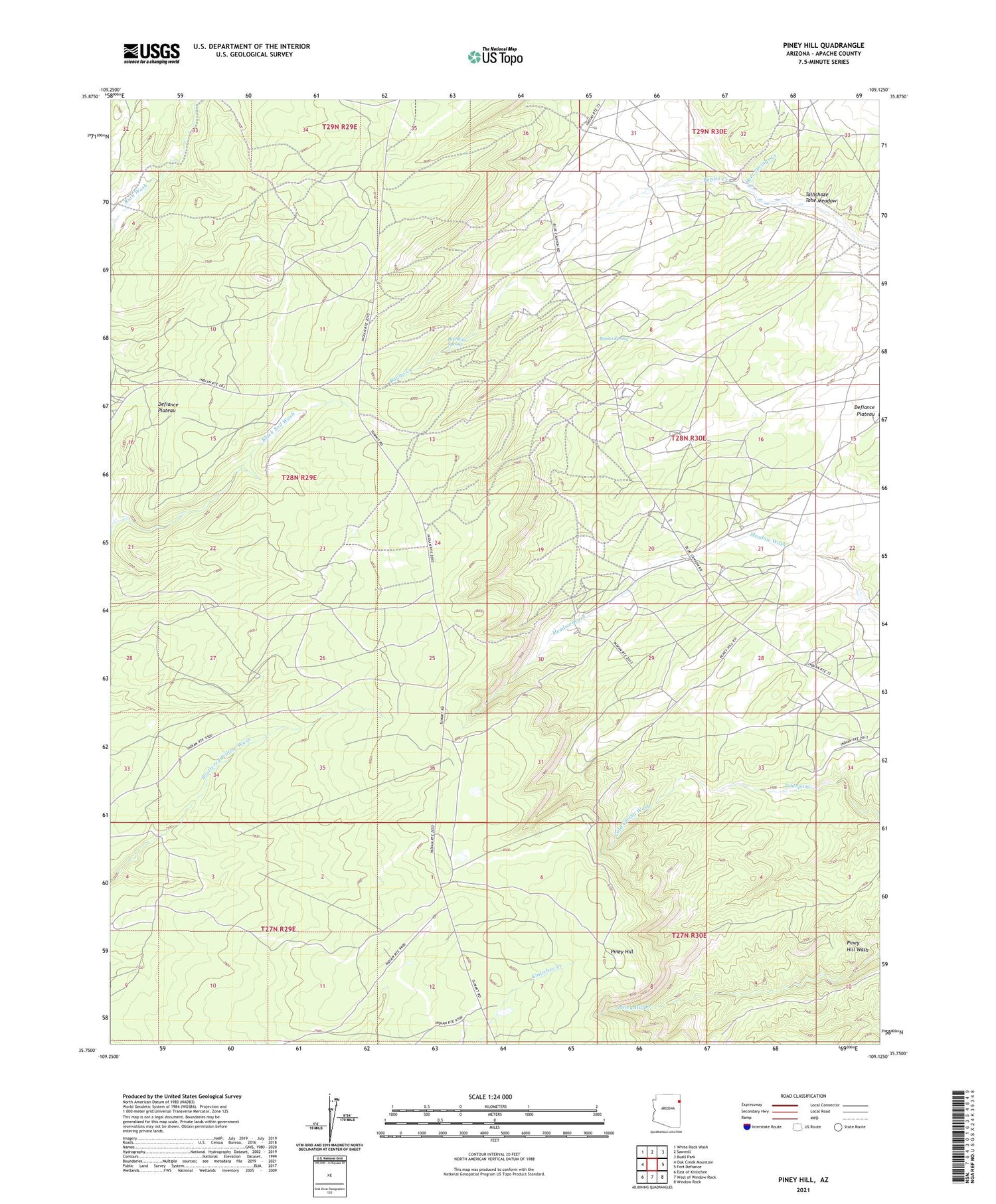
2021 topographic map quadrangle Piney Hill in the state of Arizona. Scale: 1:24000. Based on the newly updated USGS 7.5' US Topo map series, this map is in the following counties: Apache. The map contains contour data, water features, and other items you are used to seeing on USGS maps, but also has updated roads and other features. This is the next generation of topographic maps. Printed on high-quality waterproof paper with UV fade-resistant inks.
Quads adjacent to this one:
West: Oak Creek Mountain
Northwest: White Rock Wash
North: Sawmill
Northeast: Buell Park
East: Fort Defiance
Southeast: Window Rock
South: West of Window Rock
Southwest: East of Kinlichee
This map covers the same area as the classic USGS quad with code o35109g2.
Contains the following named places: Beehbito Spring, Bonito Spring, Cold Spring, Deer Springs Creek, Defiance Plateau, Piney Hill, Talhchoze Tohe Meadow