MyTopo
White Rock Wash Arizona US Topo Map
Couldn't load pickup availability
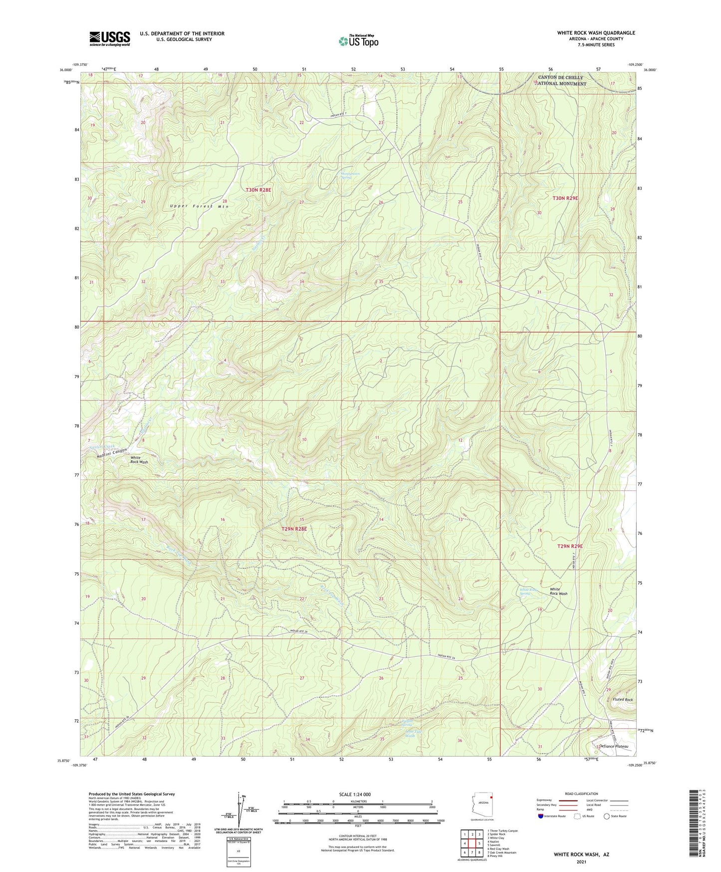
2021 topographic map quadrangle White Rock Wash in the state of Arizona. Scale: 1:24000. Based on the newly updated USGS 7.5' US Topo map series, this map is in the following counties: Apache. The map contains contour data, water features, and other items you are used to seeing on USGS maps, but also has updated roads and other features. This is the next generation of topographic maps. Printed on high-quality waterproof paper with UV fade-resistant inks.
Quads adjacent to this one:
West: Nazlini
Northwest: Three Turkey Canyon
North: Spider Rock
Northeast: White Clay
East: Sawmill
Southeast: Piney Hill
South: Oak Creek Mountain
Southwest: Red Clay Wash
This map covers the same area as the classic USGS quad with code o35109h3.
Contains the following named places: Honeymoon Spring, Neyezee Well, Tsegito Spring, Upper Forest Mountain, White Rock Spring, White Rock Wash