MyTopo
Rocky Ridge SW Arizona US Topo Map
Couldn't load pickup availability
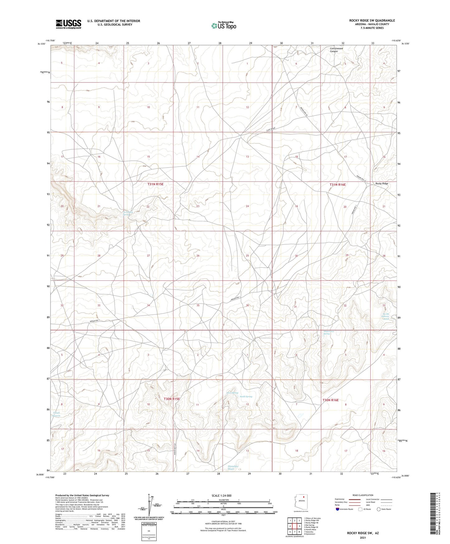
2021 topographic map quadrangle Rocky Ridge SW in the state of Arizona. Scale: 1:24000. Based on the newly updated USGS 7.5' US Topo map series, this map is in the following counties: Navajo. The map contains contour data, water features, and other items you are used to seeing on USGS maps, but also has updated roads and other features. This is the next generation of topographic maps. Printed on high-quality waterproof paper with UV fade-resistant inks.
Quads adjacent to this one:
West: Bat Spring
Northwest: Pillars of Hercules
North: Rocky Ridge NW
Northeast: Rocky Ridge NE
East: Rocky Ridge SE
Southeast: Kykotsmovi
South: Hotevilla
Southwest: Howell Mesa
This map covers the same area as the classic USGS quad with code o36110a6.
Contains the following named places: Ba Ha Zohnnie Betoh, Dove Spring, Little Waterfall Well, RU257, Sunlit Spring, Tis Ya Toh Spring, Tolah Nascin, White Cave Spring