MyTopo
Rooster Rock Arizona US Topo Map
Couldn't load pickup availability
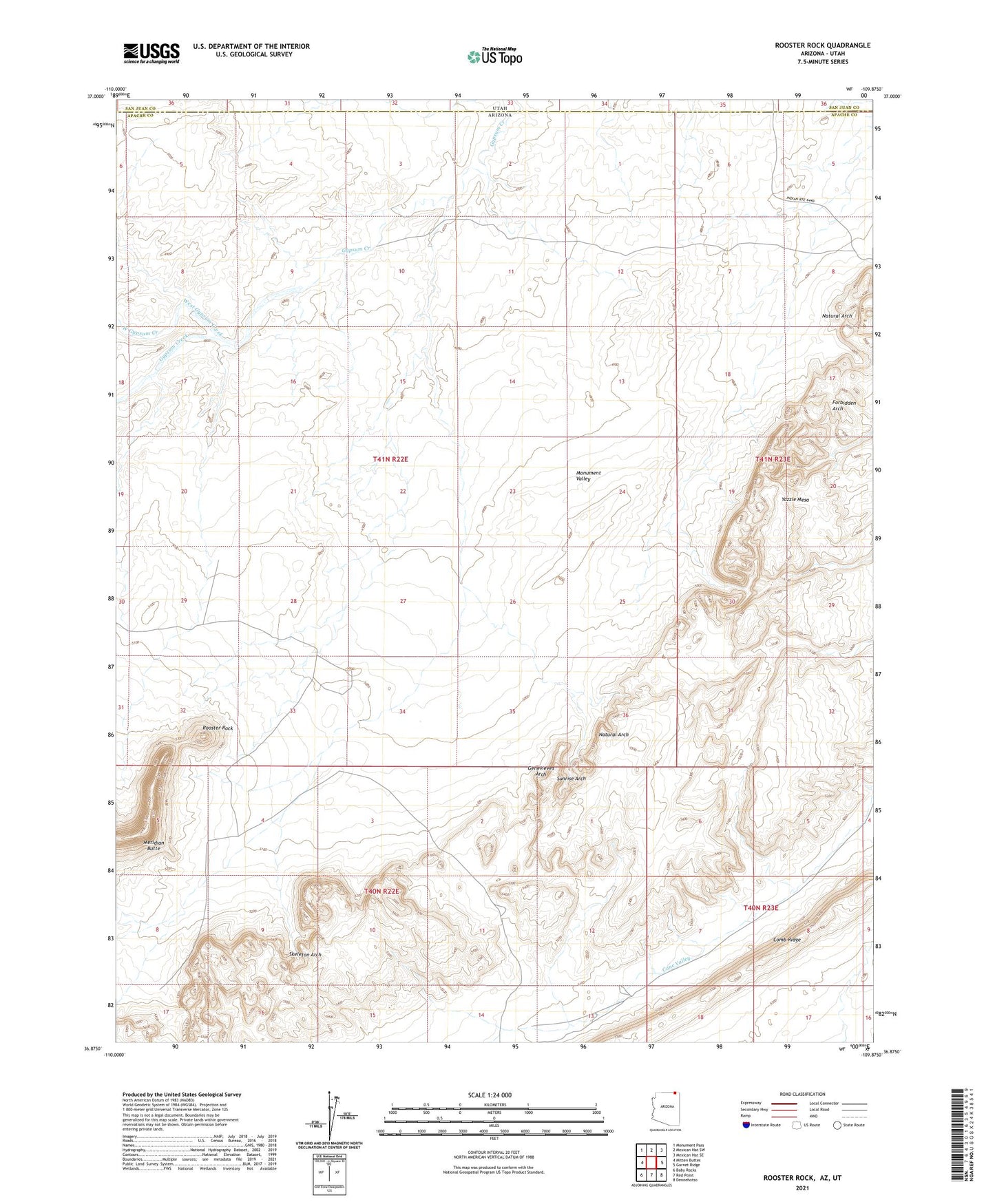
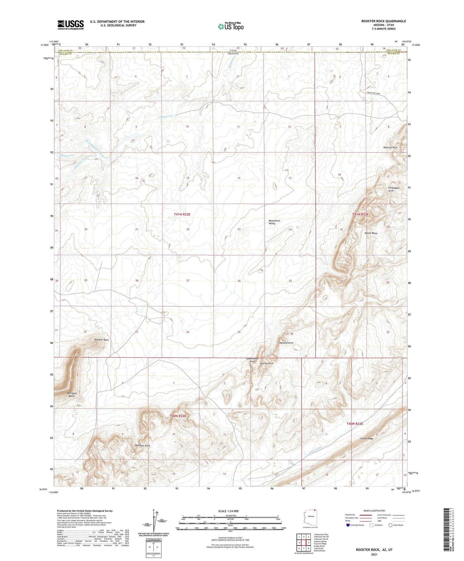
2021 topographic map quadrangle Rooster Rock in the state of Arizona. Scale: 1:24000. Based on the newly updated USGS 7.5' US Topo map series, this map is in the following counties: Apache, San Juan. The map contains contour data, water features, and other items you are used to seeing on USGS maps, but also has updated roads and other features. This is the next generation of topographic maps. Printed on high-quality waterproof paper with UV fade-resistant inks.
Quads adjacent to this one:
West: Mitten Buttes
Northwest: Monument Pass
North: Mexican Hat SW
Northeast: Mexican Hat SE
East: Garnet Ridge
Southeast: Dennehotso
South: Red Point
Southwest: Baby Rocks
Contains the following named places: Forbidden Arch, Genevieves Arch, Monument Number Two Tunnel, Monument Valley, Natural Arch, Rooster Rock, Skeleton Arch, Sunrise Arch, West Gypsum Creek, Yazzie Mesa