MyTopo
Mexican Hat SW Utah US Topo Map
Couldn't load pickup availability
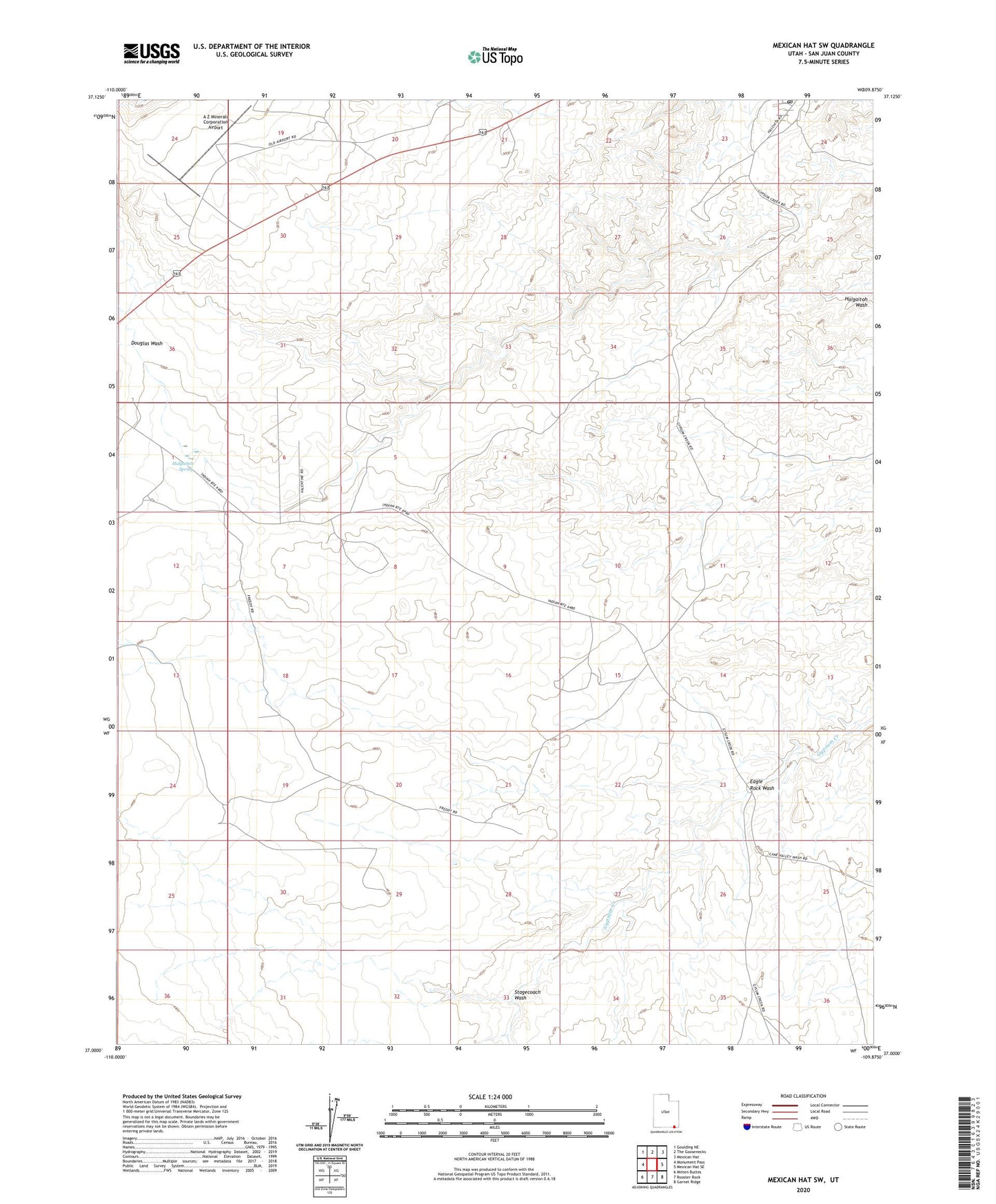
2023 topographic map quadrangle Mexican Hat SW in the state of Utah. Scale: 1:24000. Based on the newly updated USGS 7.5' US Topo map series, this map is in the following counties: San Juan. The map contains contour data, water features, and other items you are used to seeing on USGS maps, but also has updated roads and other features. This is the next generation of topographic maps. Printed on high-quality waterproof paper with UV fade-resistant inks.
Quads adjacent to this one:
West: Monument Pass
Northwest: Goulding NE
North: The Goosenecks
Northeast: Mexican Hat
East: Mexican Hat SE
Southeast: Garnet Ridge
South: Rooster Rock
Southwest: Mitten Buttes
This map covers the same area as the classic USGS quad with code o37109a8.
Contains the following named places: A Z Minerals Corporation Airport, Douglas Wash, Eagle Rock Wash, Halgaitoh Spring, Stagecoach Wash