MyTopo
Garnet Ridge Arizona US Topo Map
Couldn't load pickup availability
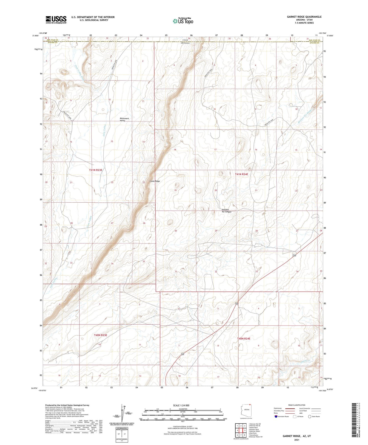
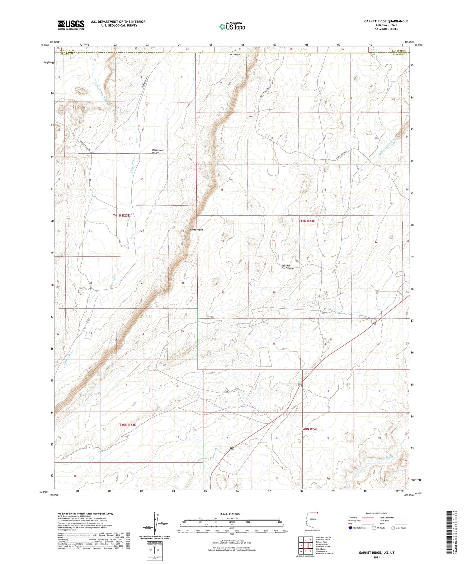
2021 topographic map quadrangle Garnet Ridge in the state of Arizona. Scale: 1:24000. Based on the newly updated USGS 7.5' US Topo map series, this map is in the following counties: Apache, San Juan. The map contains contour data, water features, and other items you are used to seeing on USGS maps, but also has updated roads and other features. This is the next generation of topographic maps. Printed on high-quality waterproof paper with UV fade-resistant inks.
Quads adjacent to this one:
West: Rooster Rock
Northwest: Mexican Hat SW
North: Mexican Hat SE
Northeast: Moses Rock
East: Mexican Water
Southeast: Mexican Water SW
South: Dennehotso
Southwest: Red Point
Contains the following named places: Cane Valley, Hosteen Tso Wash, Round Top Mesa Campground