MyTopo
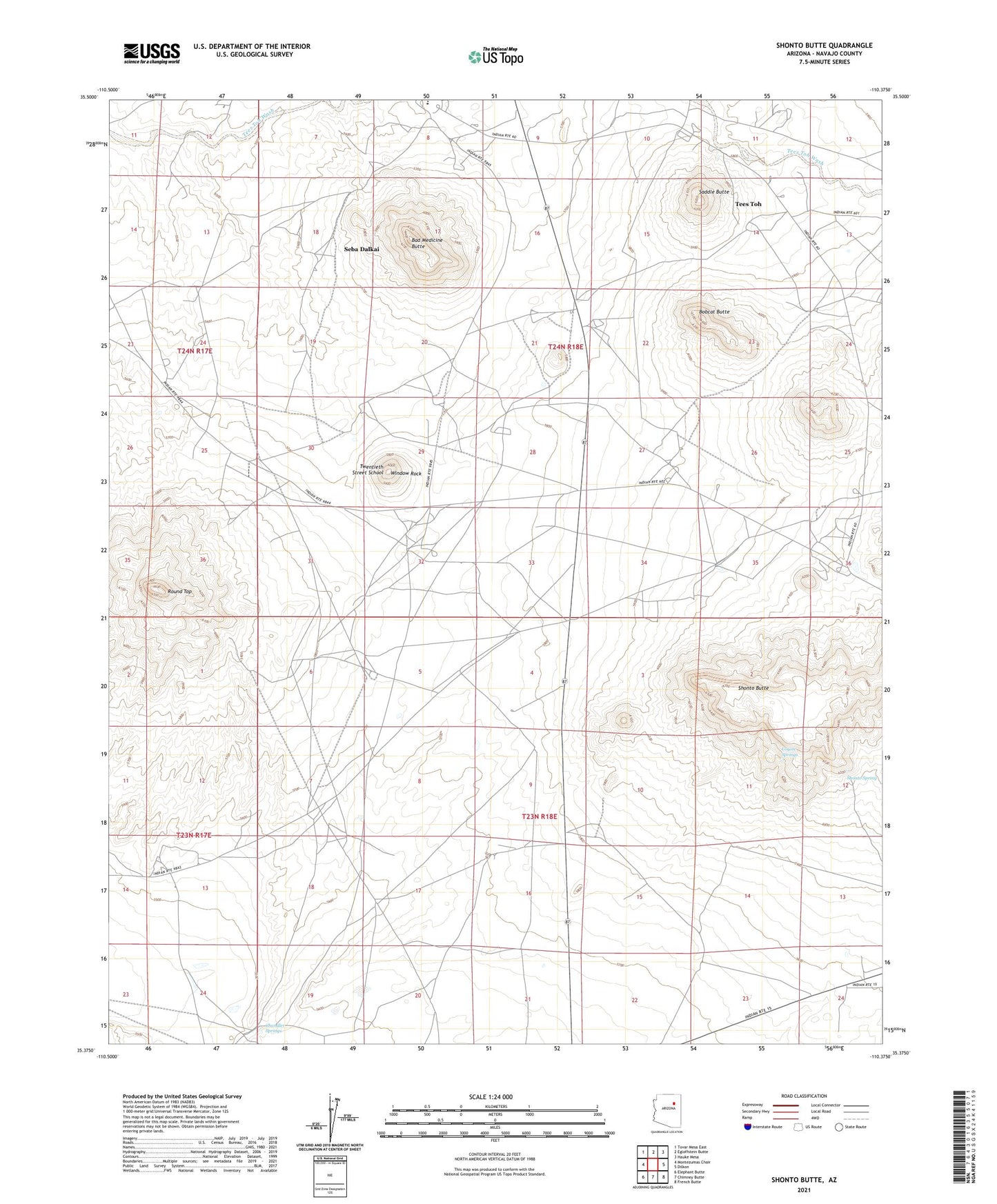
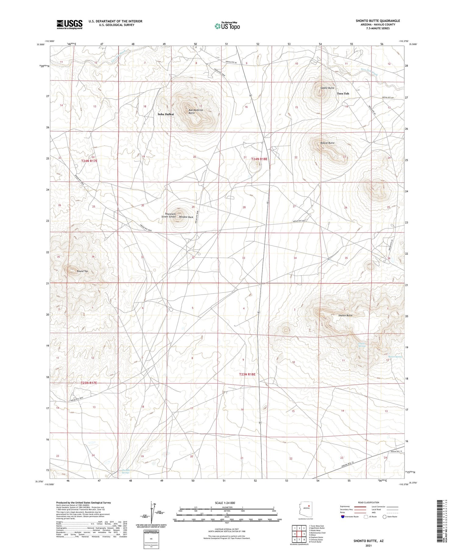
Shonto Butte Arizona US Topo Map
Couldn't load pickup availability
2021 topographic map quadrangle Shonto Butte in the state of Arizona. Scale: 1:24000. Based on the newly updated USGS 7.5' US Topo map series, this map is in the following counties: Navajo. The map contains contour data, water features, and other items you are used to seeing on USGS maps, but also has updated roads and other features. This is the next generation of topographic maps. Printed on high-quality waterproof paper with UV fade-resistant inks.
Quads adjacent to this one:
West: Montezumas Chair
Northwest: Tovar Mesa East
North: Egloffstein Butte
Northeast: Hauke Mesa
East: Dilkon
Southeast: French Butte
South: Chimney Butte
Southwest: Elephant Butte
This map covers the same area as the classic USGS quad with code o35110d4.
Contains the following named places: Bad Medicine Butte, Bobcat Butte, Chandler Springs, Coyote Springs, Round Top, Saddle Butte, Seba Dalkai, Seba Dalkai Census Designated Place, Seba Dalkai School, Shonto Butte, Shonto Spring, Tees Toh, Tees Toh Census Designated Place, Teesto Chapter, Twentieth Street School, Window Rock