MyTopo
Tovar Mesa East Arizona US Topo Map
Couldn't load pickup availability
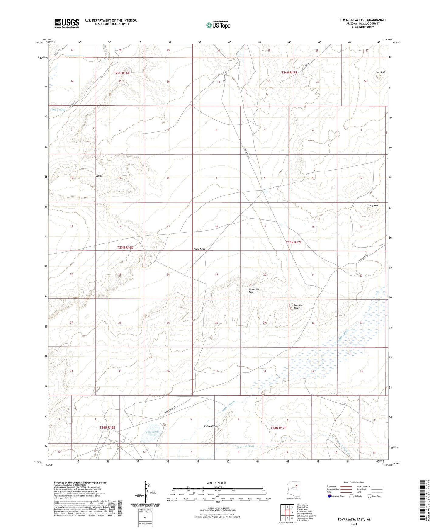
2021 topographic map quadrangle Tovar Mesa East in the state of Arizona. Scale: 1:24000. Based on the newly updated USGS 7.5' US Topo map series, this map is in the following counties: Navajo. The map contains contour data, water features, and other items you are used to seeing on USGS maps, but also has updated roads and other features. This is the next generation of topographic maps. Printed on high-quality waterproof paper with UV fade-resistant inks.
Quads adjacent to this one:
West: Tovar Mesa West
Northwest: Burro Spring
North: Giants Chair
Northeast: Snake Butte
East: Egloffstein Butte
Southeast: Shonto Butte
South: Montezumas Chair
Southwest: Montezumas Chair NW
This map covers the same area as the classic USGS quad with code o35110e5.
Contains the following named places: Backbone Dam, Crows Nest Point, Dry Dam, Leaf Hill, Lost Gun Point, Navajo Lookout Dam, Pillow Ridge, Red Clay Dam, Sa'lako, Seed Hill, Tobenayoli Pond, Tovar Mesa, Tovar Mesa District, White Clay Dam