MyTopo
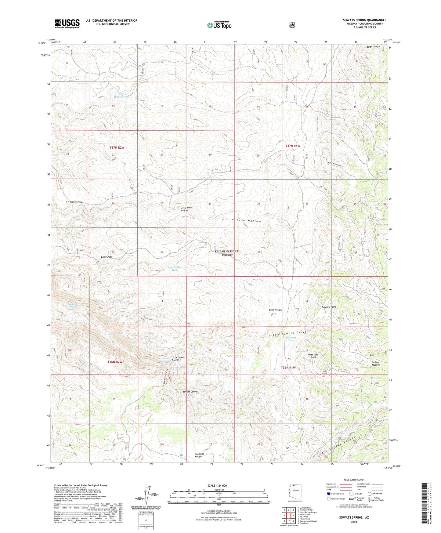
Sowats Spring Arizona US Topo Map
Couldn't load pickup availability
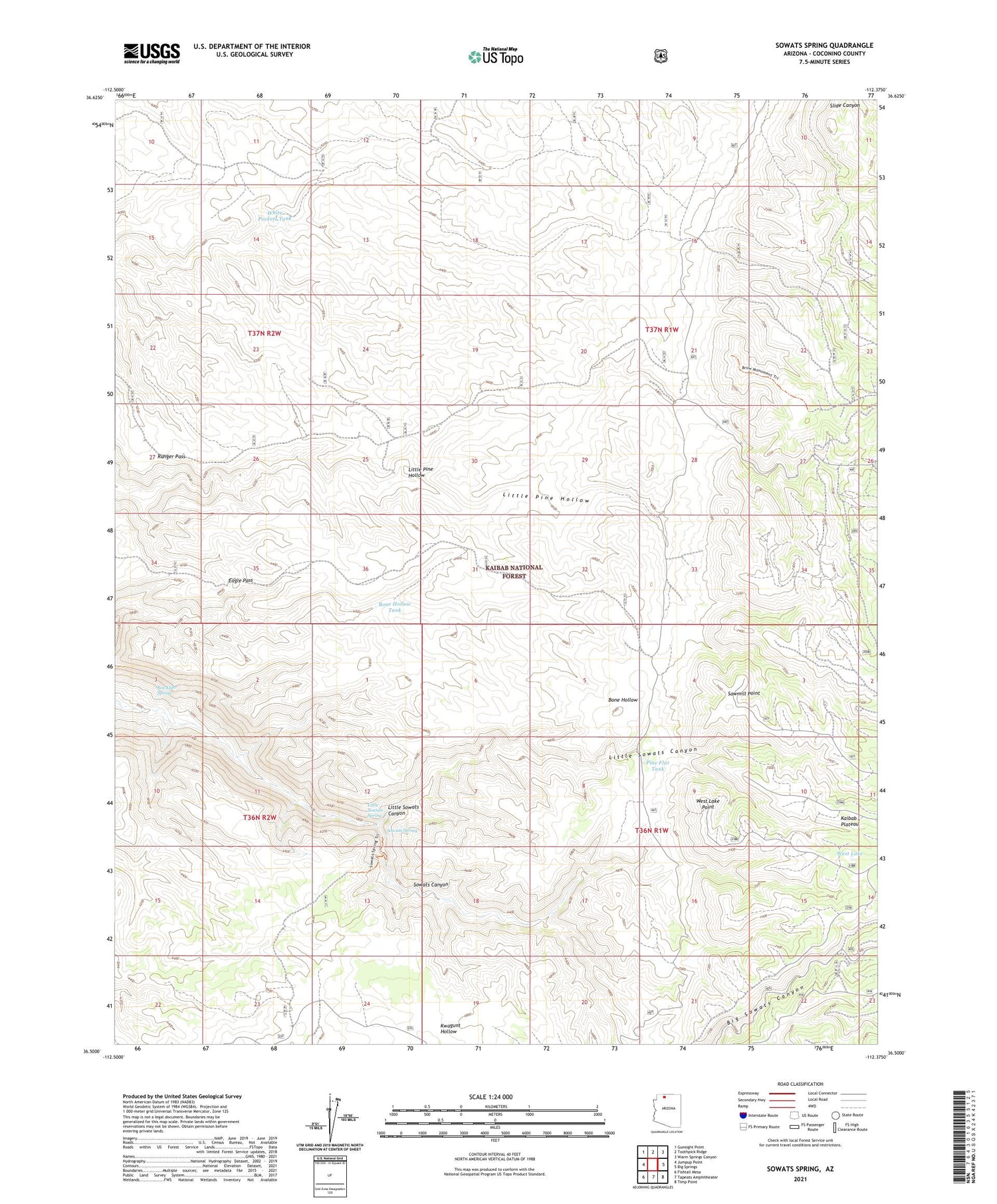
Also explore the Sowats Spring Forest Service Topo of this same quad for updated USFS data
2021 topographic map quadrangle Sowats Spring in the state of Arizona. Scale: 1:24000. Based on the newly updated USGS 7.5' US Topo map series, this map is in the following counties: Coconino. The map contains contour data, water features, and other items you are used to seeing on USGS maps, but also has updated roads and other features. This is the next generation of topographic maps. Printed on high-quality waterproof paper with UV fade-resistant inks.
Quads adjacent to this one:
West: Jumpup Point
Northwest: Gunsight Point
North: Toothpick Ridge
Northeast: Warm Springs Canyon
East: Big Springs
Southeast: Timp Point
South: Tapeats Amphitheater
Southwest: Fishtail Mesa
This map covers the same area as the classic USGS quad with code o36112e4.
Contains the following named places: Big Sowats Canyon, Bone Hollow Tank, Box Elder Spring, Eagle Pass, Little Pine Hollow, Little Sowats Canyon, Little Sowats Spring, Pine Flat Camp, Pine Flat Tank, Pine Hollow Tank, Pine Hollow Trick Tank, Ranger Pass, Ranger Pass Trick Tank, Sawmill Point, South Side Tank, Sowats Spring, Sowats Tank, West Lake, West Lake Point, White Pockets Tank