MyTopo
Sugarloaf Peak Arizona US Topo Map
Couldn't load pickup availability
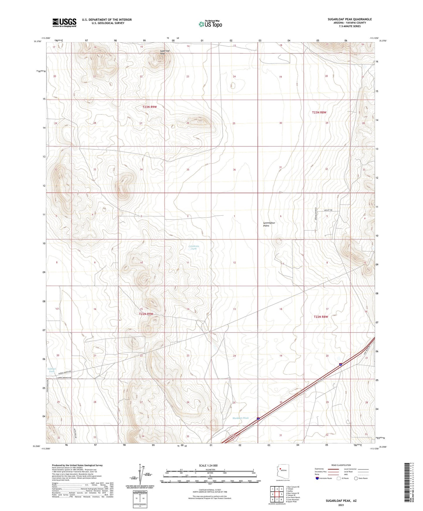
2021 topographic map quadrangle Sugarloaf Peak in the state of Arizona. Scale: 1:24000. Based on the newly updated USGS 7.5' US Topo map series, this map is in the following counties: Yavapai. The map contains contour data, water features, and other items you are used to seeing on USGS maps, but also has updated roads and other features. This is the next generation of topographic maps. Printed on high-quality waterproof paper with UV fade-resistant inks.
Quads adjacent to this one:
West: Blye Canyon SE
Northwest: Blye Canyon NE
North: Yampai
Northeast: Audley
East: Yampai SE
Southeast: Squaw Peak
South: Cross Mountain
Southwest: Fort Rock Ranch
This map covers the same area as the classic USGS quad with code o35113c2.
Contains the following named places: Airport Tank, Celedonio Tank, Corral Tank, Gabriel Tank, Indian Tank, Markham Wash, New Well, Number Five Trough, Old Well, Pipeline Tank, Seventyfour Plains, Sugarloaf Peak, Twentyone Tank, Well Number Five