
MyTopo
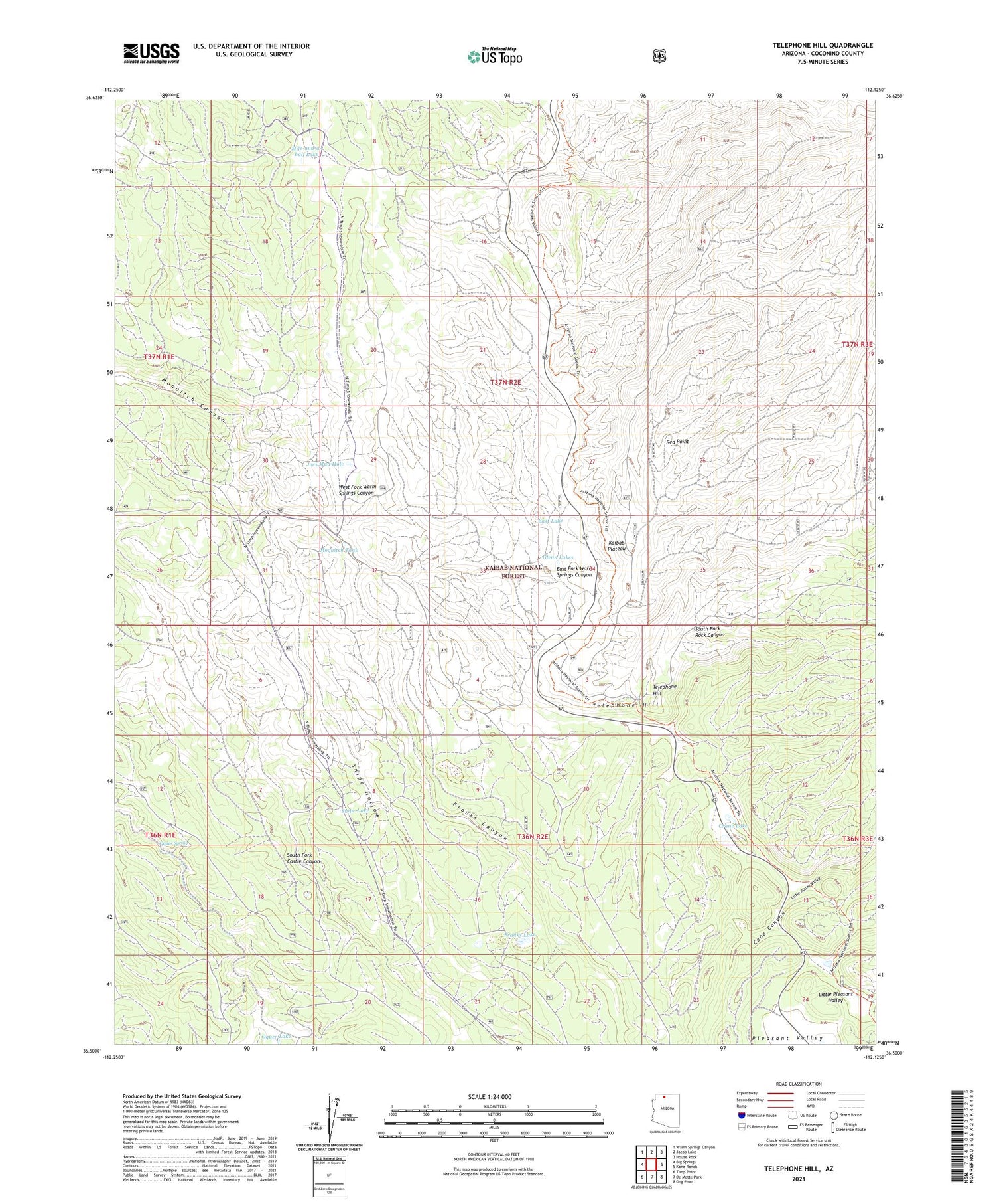
Telephone Hill Arizona US Topo Map
Couldn't load pickup availability
Also explore the Telephone Hill Forest Service Topo of this same quad for updated USFS data
2021 topographic map quadrangle Telephone Hill in the state of Arizona. Scale: 1:24000. Based on the newly updated USGS 7.5' US Topo map series, this map is in the following counties: Coconino. The map contains contour data, water features, and other items you are used to seeing on USGS maps, but also has updated roads and other features. This is the next generation of topographic maps. Printed on high-quality waterproof paper with UV fade-resistant inks.
Quads adjacent to this one:
West: Big Springs
Northwest: Warm Springs Canyon
North: Jacob Lake
Northeast: House Rock
East: Kane Ranch
Southeast: Dog Point
South: De Motte Park
Southwest: Timp Point
This map covers the same area as the classic USGS quad with code o36112e2.
Contains the following named places: Crane Lake, East Lake, Franks Canyon, Franks Lake, Glenn Lakes, Joes Mud Hole, Kaibab Plateau, Kaibab Plateau Division, Little Round Valley, Mile-and-a-half Lake, Moquitch Tank, North Kaibab Ranger District, Oquer Lake, Oquer Spring, Pleasant Valley, Pleasant Valley Cabin, Red Point, Sixty Seven Apron, Snipe Hollow, Snipe Lake, Telephone Hill


