MyTopo
Tolapai Spring Arizona US Topo Map
Couldn't load pickup availability
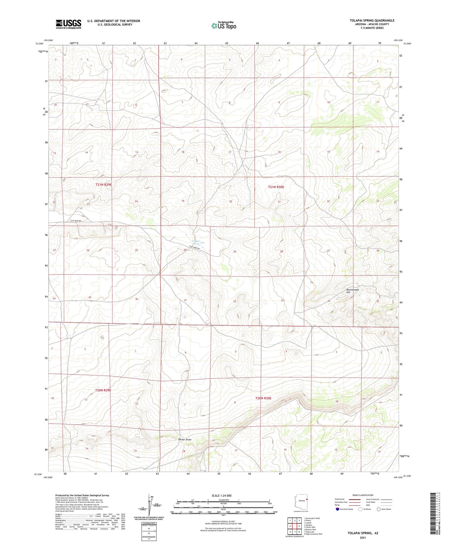
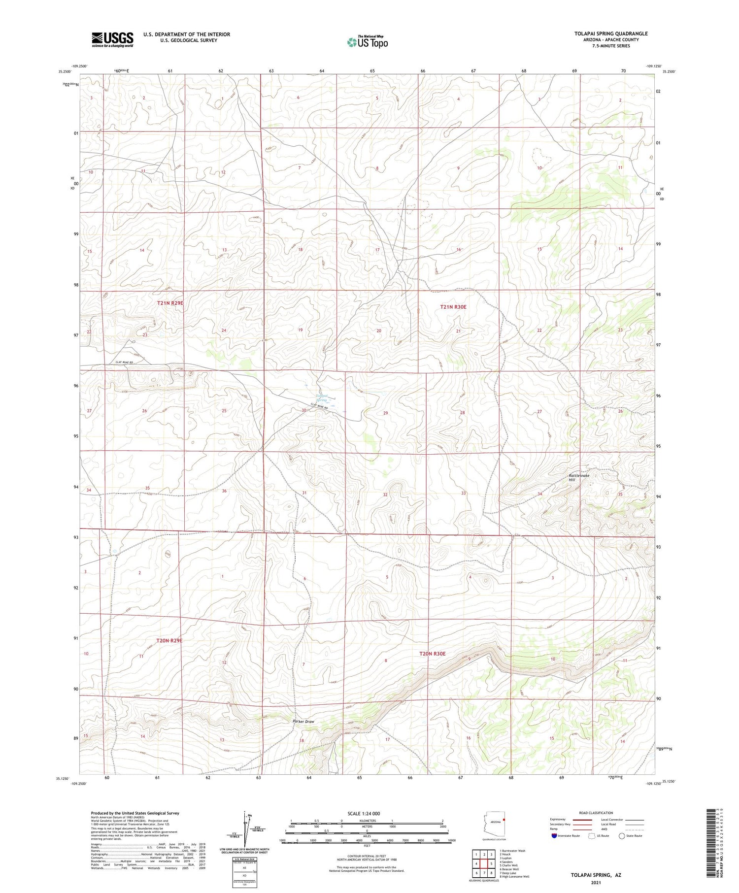
2021 topographic map quadrangle Tolapai Spring in the state of Arizona. Scale: 1:24000. Based on the newly updated USGS 7.5' US Topo map series, this map is in the following counties: Apache. The map contains contour data, water features, and other items you are used to seeing on USGS maps, but also has updated roads and other features. This is the next generation of topographic maps. Printed on high-quality waterproof paper with UV fade-resistant inks.
Quads adjacent to this one:
West: Sanders
Northwest: Burntwater Wash
North: Houck
Northeast: Lupton
East: Chafin Well
Southeast: High Lonesome Well
South: Deep Lake
Southwest: Beacon Well
This map covers the same area as the classic USGS quad with code o35109b2.
Contains the following named places: Bluebird Well, Little Well, Middle Well, Rattlesnake Hill, Roberts Ranch, Tolapai Spring