MyTopo
Lupton Arizona US Topo Map
Couldn't load pickup availability
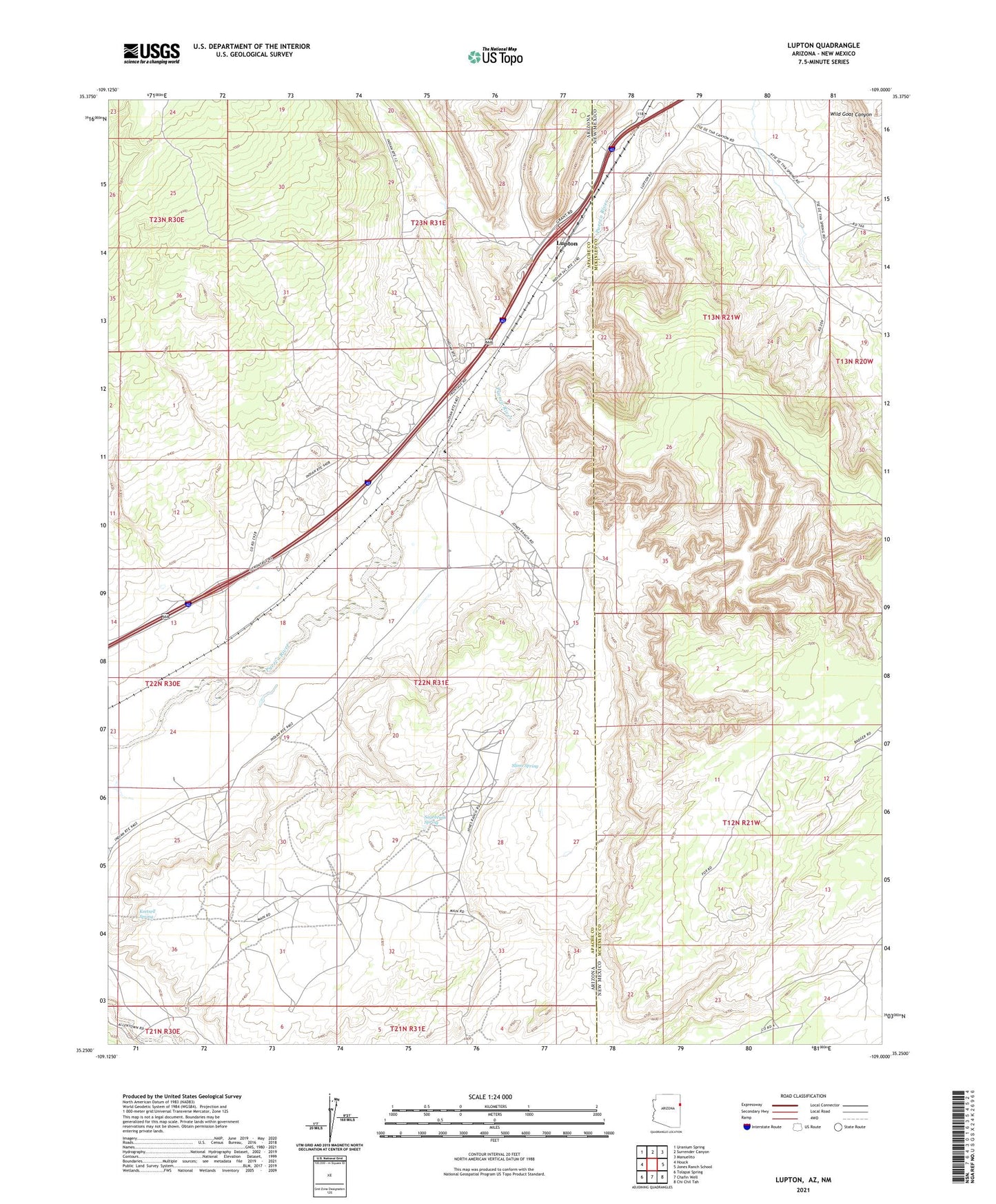
2021 topographic map quadrangle Lupton in the states of Arizona, New Mexico. Scale: 1:24000. Based on the newly updated USGS 7.5' US Topo map series, this map is in the following counties: Apache, McKinley. The map contains contour data, water features, and other items you are used to seeing on USGS maps, but also has updated roads and other features. This is the next generation of topographic maps. Printed on high-quality waterproof paper with UV fade-resistant inks.
Quads adjacent to this one:
West: Houck
Northwest: Uranium Spring
North: Surrender Canyon
Northeast: Manuelito
East: Jones Ranch School
Southeast: Chi Chil Tah
South: Chafin Well
Southwest: Tolapai Spring
Contains the following named places: Begay Well, Good Luck Well, Keetsell Spring, Lupton, Lupton Census Designated Place, Lupton Chapter, Lupton Chapter House, Manuelito Chapter, Sagebrush Spring, Slims Spring, The Church of Jesus Christ of Latter Day Saints, Tse De Tha Well, ZIP Code: 86508