
MyTopo
Tuba City Arizona US Topo Map
Couldn't load pickup availability
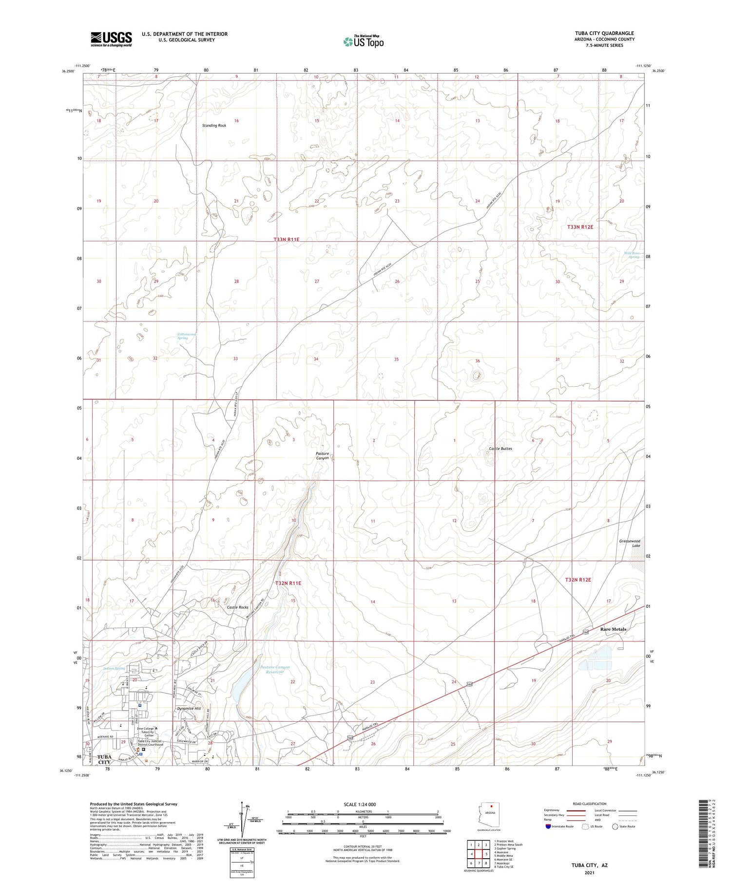
2021 topographic map quadrangle Tuba City in the state of Arizona. Scale: 1:24000. Based on the newly updated USGS 7.5' US Topo map series, this map is in the following counties: Coconino. The map contains contour data, water features, and other items you are used to seeing on USGS maps, but also has updated roads and other features. This is the next generation of topographic maps. Printed on high-quality waterproof paper with UV fade-resistant inks.
Quads adjacent to this one:
West: Moenave
Northwest: Preston Well
North: Preston Mesa South
Northeast: Gopher Spring
East: Middle Mesa
Southeast: Tuba City SE
South: Moenkopi
Southwest: Moenave SE
This map covers the same area as the classic USGS quad with code o36111b2.
Contains the following named places: Babetts Trailer Court, Castle Buttes, Castle Rocks, Charley Day Well, Cottonwood Spring, Dogwater Well, Dotson Spring, Dynamite Hill, Eagles Nest Intermediate School, Hopi Indian Nation Upper Village of Moenkopi Wastewater Treatment Facility, KGHR-FM (Tuba City), Little Water Well, Navajo John Well, Pasture Canyon Reservoir, Rabbit Brush Well, Rare Metals, Standing Rock, Standing Rock Well, Tuba City, Tuba City Airport, Tuba City Boarding School, Tuba City Census Designated Place, Tuba City High School, Tuba City Junior High School, Tuba City Police Department, Tuba City Primary School, Tuba City Public Library, Tuba City Regional Health Care Center - Hospital, Wild Rose Spring


