MyTopo
Tucker Mesa Arizona US Topo Map
Couldn't load pickup availability
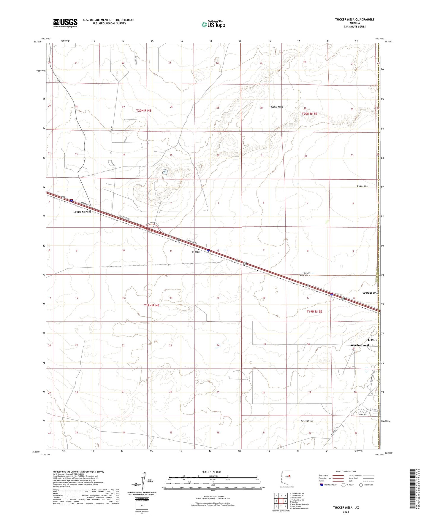
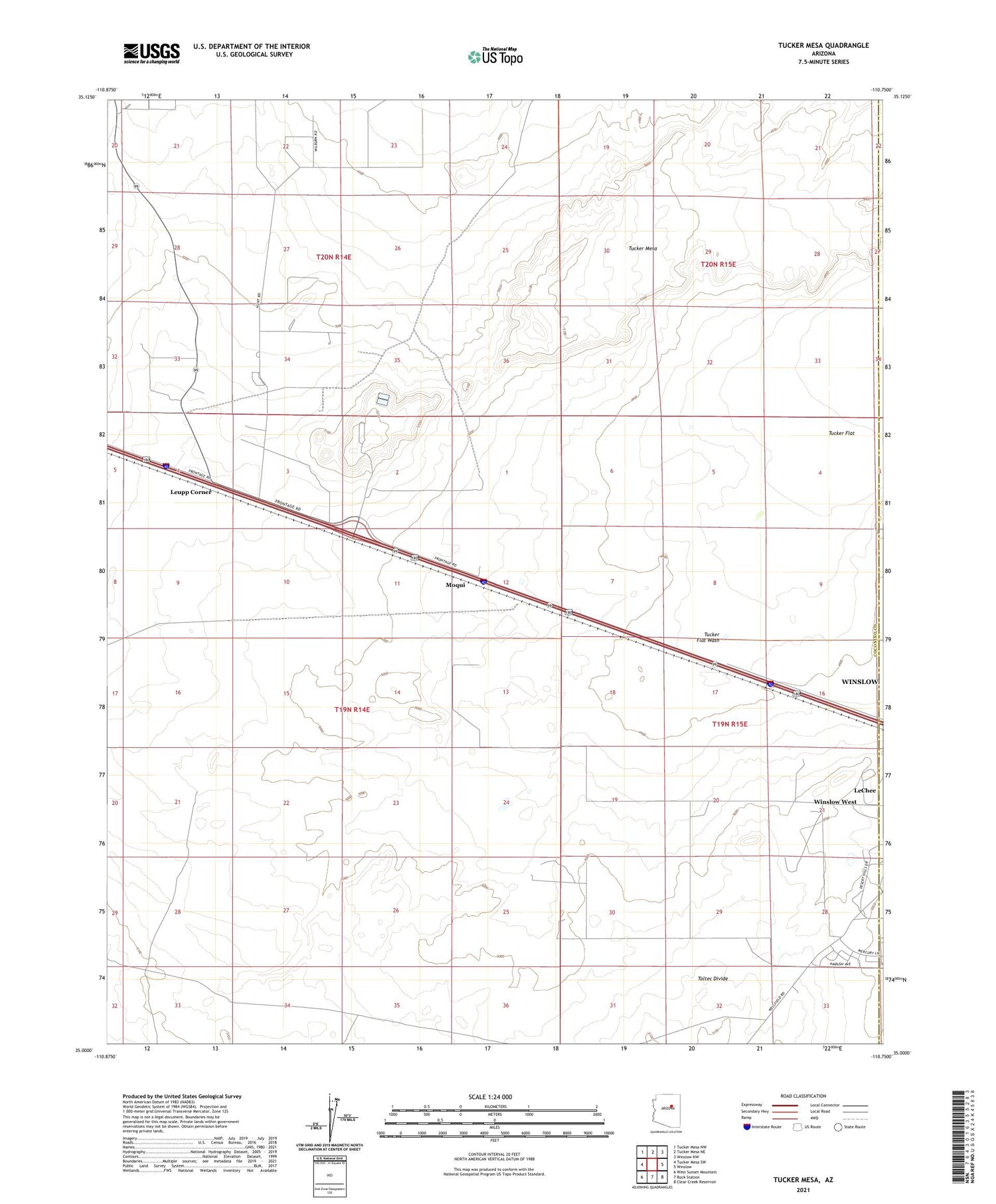
2021 topographic map quadrangle Tucker Mesa in the state of Arizona. Scale: 1:24000. Based on the newly updated USGS 7.5' US Topo map series, this map is in the following counties: Coconino, Navajo. The map contains contour data, water features, and other items you are used to seeing on USGS maps, but also has updated roads and other features. This is the next generation of topographic maps. Printed on high-quality waterproof paper with UV fade-resistant inks.
Quads adjacent to this one:
West: Tucker Mesa SW
Northwest: Tucker Mesa NW
North: Tucker Mesa NE
Northeast: Winslow NW
East: Winslow
Southeast: Clear Creek Reservoir
South: Rock Station
Southwest: West Sunset Mountain
This map covers the same area as the classic USGS quad with code o35110a7.
Contains the following named places: Hopi Industrial Park, LeChee, Leupp Corner, Moqui, Pruneville Well, Toltec Divide, Tucker Flat Wash, Tucker Mesa, Winslow Air Force Station, Winslow Job Corps Civilian Conservation Center, Winslow West