MyTopo
Tucker Mesa SW Arizona US Topo Map
Couldn't load pickup availability
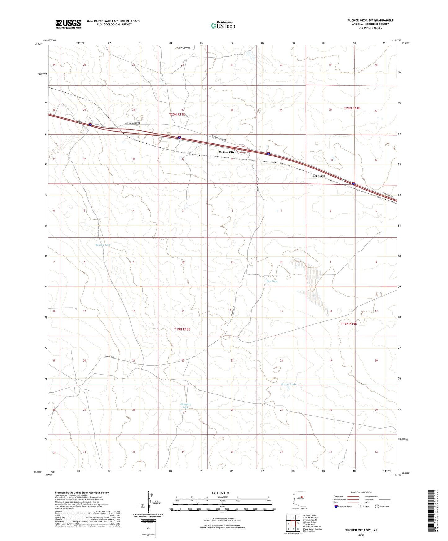
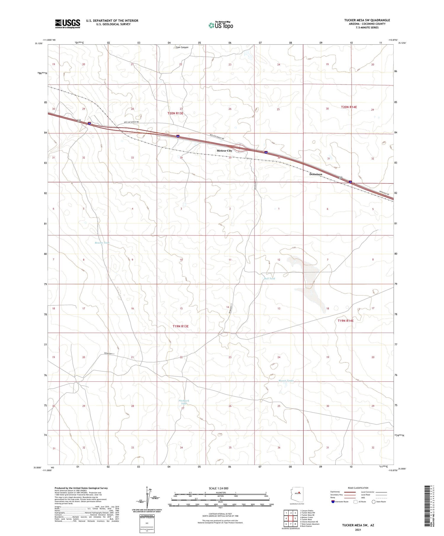
2021 topographic map quadrangle Tucker Mesa SW in the state of Arizona. Scale: 1:24000. Based on the newly updated USGS 7.5' US Topo map series, this map is in the following counties: Coconino. The map contains contour data, water features, and other items you are used to seeing on USGS maps, but also has updated roads and other features. This is the next generation of topographic maps. Printed on high-quality waterproof paper with UV fade-resistant inks.
Quads adjacent to this one:
West: Meteor Crater
Northwest: Canyon Diablo
North: Tucker Mesa NW
Northeast: Tucker Mesa NE
East: Tucker Mesa
Southeast: Rock Station
South: West Sunset Mountain
Southwest: Chavez Mountain NE
This map covers the same area as the classic USGS quad with code o35110a8.
Contains the following named places: Beacon Tank, Beacon Well, Boulder Dam, Brown Tanks, Bull Tank, Chilson Landing Strip, Dennison, Dennison Well, Meteor City, Meteor Crater Ranch, Meteor Crater Rest Area, Mud Lake, Ogilvie Well, Pitchfork Tank, Sunshine Overpass