MyTopo
Waddell Arizona US Topo Map
Couldn't load pickup availability
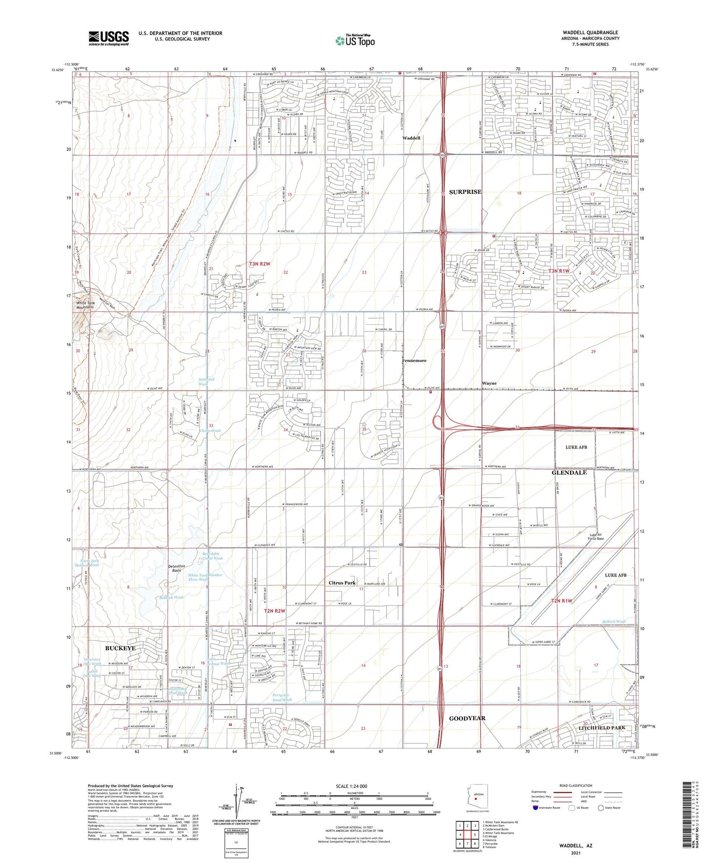
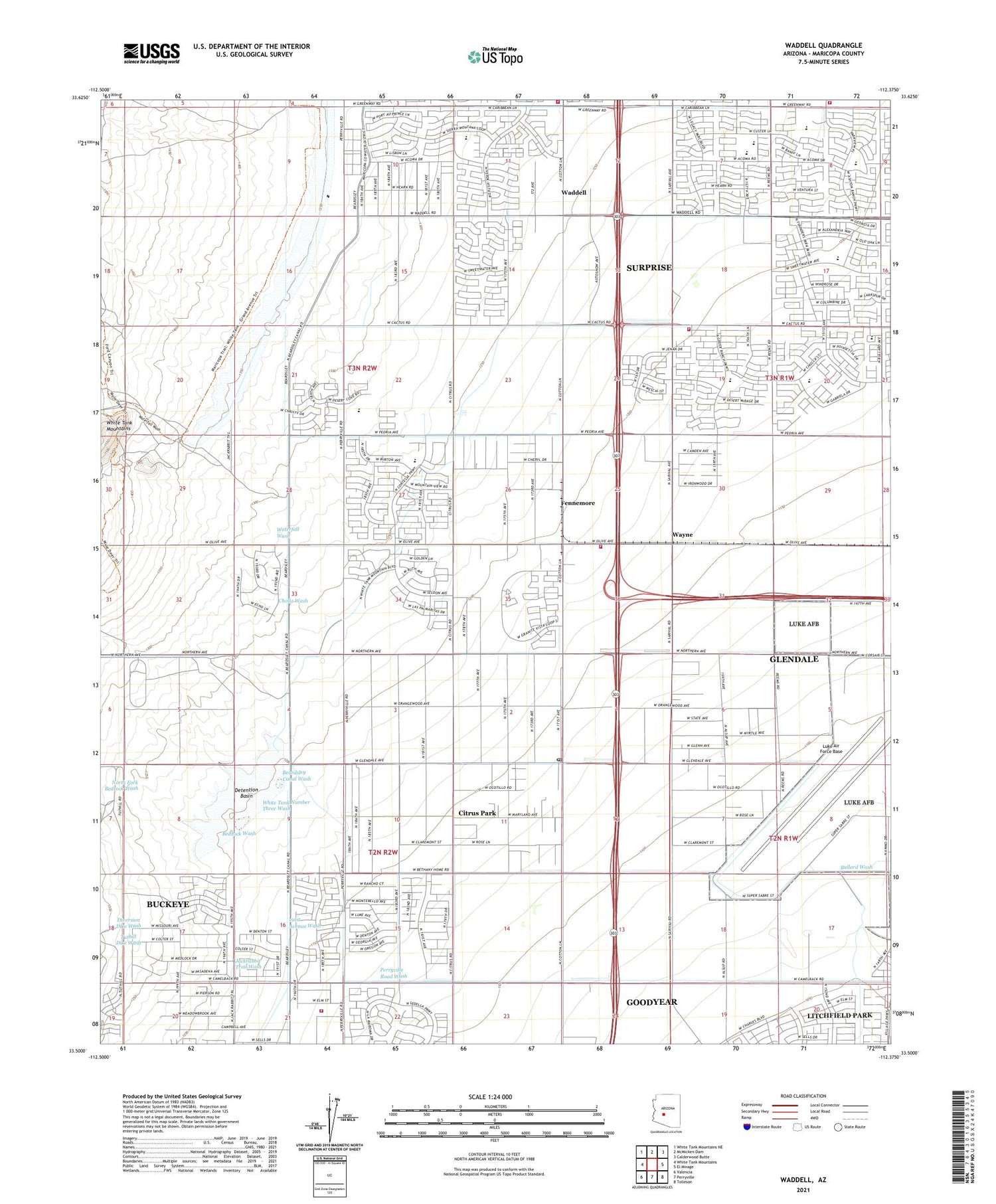
2021 topographic map quadrangle Waddell in the state of Arizona. Scale: 1:24000. Based on the newly updated USGS 7.5' US Topo map series, this map is in the following counties: Maricopa. The map contains contour data, water features, and other items you are used to seeing on USGS maps, but also has updated roads and other features. This is the next generation of topographic maps. Printed on high-quality waterproof paper with UV fade-resistant inks.
Quads adjacent to this one:
West: White Tank Mountains
Northwest: White Tank Mountains NE
North: McMicken Dam
Northeast: Calderwood Butte
East: El Mirage
Southeast: Tolleson
South: Perryville
Southwest: Valencia
This map covers the same area as the classic USGS quad with code o33112e4.
Contains the following named places: Ashton Ranch Elementary School, Beardsley Canal Wash, Bedrock Wash, Buckeye Valley Fire District Station 321, Cholla Wash, Citrus Park, Citrus Park Census Designated Place, Cotton Lane Community Church, Countryside Elementary School, Coyner Airstrip, Detention Basin, Diversion Dike Wash, Falcon Golf Club, Fennemore, Fennemore Railroad Station, Luke Air Force Base, Luke Golf Course, Marley Park Elementary School, Mountain View School, North Fork Bedrock Wash, Parkway Christian Church, Perryville Road Wash, Rancho Gabriela Elementary School, Sierra Montana Recreation Center, Sonoran Heights Elementary School, Sunset Hills Elementary School, Surprise Fire Department Station 303, Surprise Fire Department Station 305, Surprise Fire Department Station 307, The Church of Jesus Christ of Latter Day Saints, Waddell, Waddell Post Office, Waddell Substation, Waterfall Wash, Wayne, White Tank Number Three Wash, Wildlife World Zoo, ZIP Codes: 85309, 85340, 85355, 85388


