MyTopo
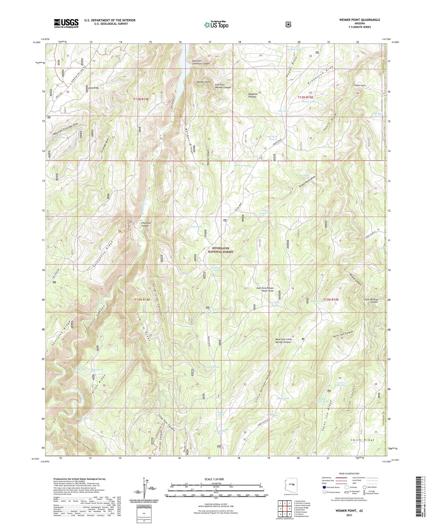
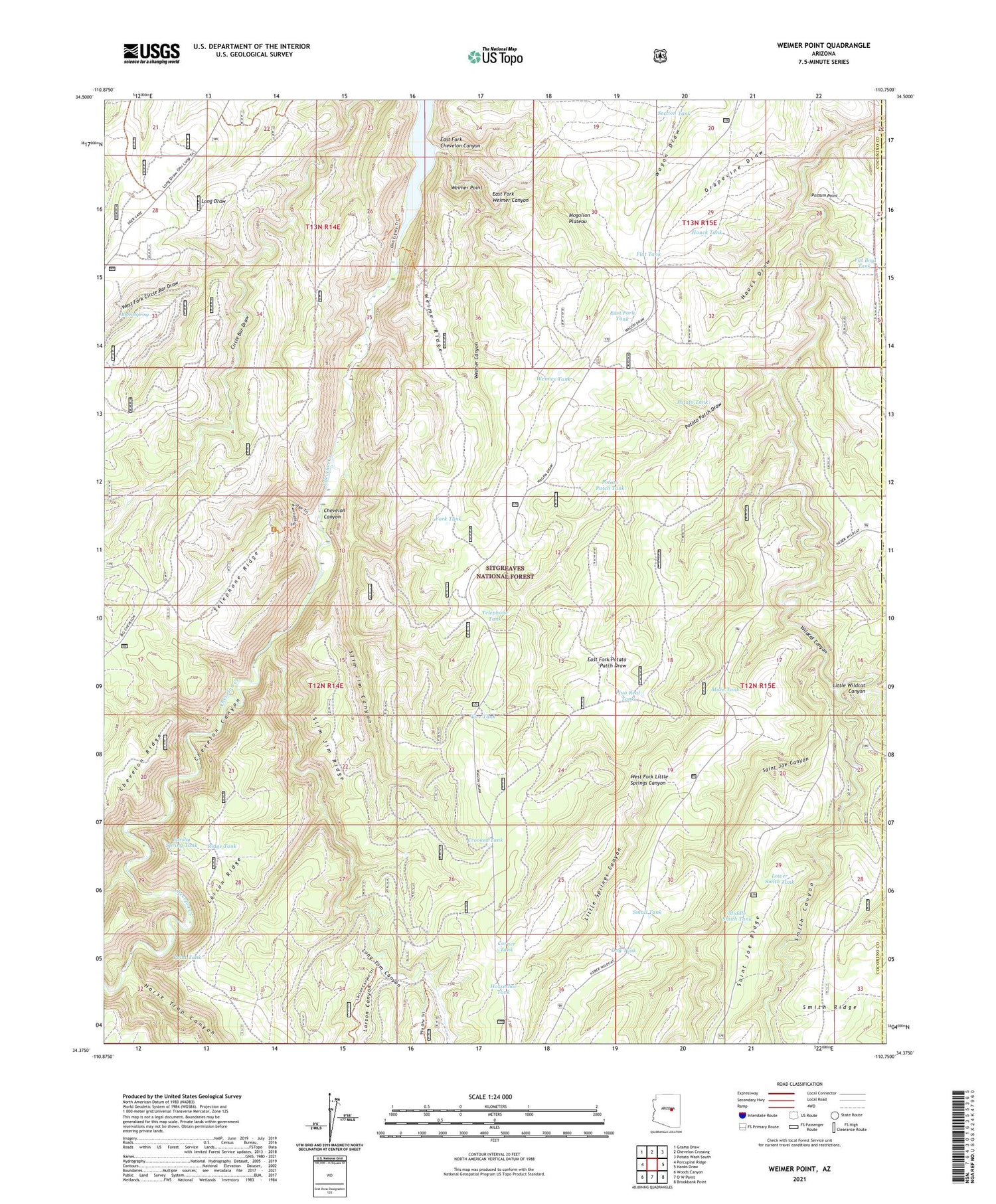
Weimer Point Arizona US Topo Map
Couldn't load pickup availability
Also explore the Weimer Point Forest Service Topo of this same quad for updated USFS data
2021 topographic map quadrangle Weimer Point in the state of Arizona. Scale: 1:24000. Based on the newly updated USGS 7.5' US Topo map series, this map is in the following counties: Coconino, Navajo. The map contains contour data, water features, and other items you are used to seeing on USGS maps, but also has updated roads and other features. This is the next generation of topographic maps. Printed on high-quality waterproof paper with UV fade-resistant inks.
Quads adjacent to this one:
West: Porcupine Ridge
Northwest: Grama Draw
North: Chevelon Crossing
Northeast: Potato Wash South
East: Hanks Draw
Southeast: Brookbank Point
South: O W Point
Southwest: Woods Canyon
This map covers the same area as the classic USGS quad with code o34110d7.
Contains the following named places: Breed Spring, Burn Tank, Chevelon Canyon Lake, Chevelon Ridge Truck Trail, Corner Tank, Crooked Tank, Dog Tank, East Fork Chevelon Canyon, East Fork Tank, East Fork Weimer Canyon, Fat Boy Tank, Flat Tank, Fork Tank, Horse Trap Canyon, Horseshoe Tank, Houck Draw, Houck Tank, Larson Canyon, Larson Spring Tank, Little Spring Trick Tank, Little Springs Canyon, Long Draw Water Catchment, Long Tom Canyon, Lower Smith Tank, Mare Tank, Middle Smith Tank, Mogollon Plateau, Pino Real Tank, Point Tank, Possum Point, Potato Patch, Potato Patch Draw, Potato Patch Tank, Potato Tank, Pulp Tank, Ram Tank, Ridge Tank, Saint Joe Canyon, Section Tank, Section Twenty Tank, Slim Jim Canyon, Slim Jim Ridge, Small Tank, Smith Canyon, Telephone Ridge, Telephone Ridge Trailhead, Telephone Tank, Tillman Ranch, Tire Tank, Weimer Canyon, Weimer Point, Weimer Ridge, Weimer Tank, West Fork Circle Bar Draw, West Fork Little Springs Canyon


