MyTopo
Maroney Well Arizona US Topo Map
Couldn't load pickup availability
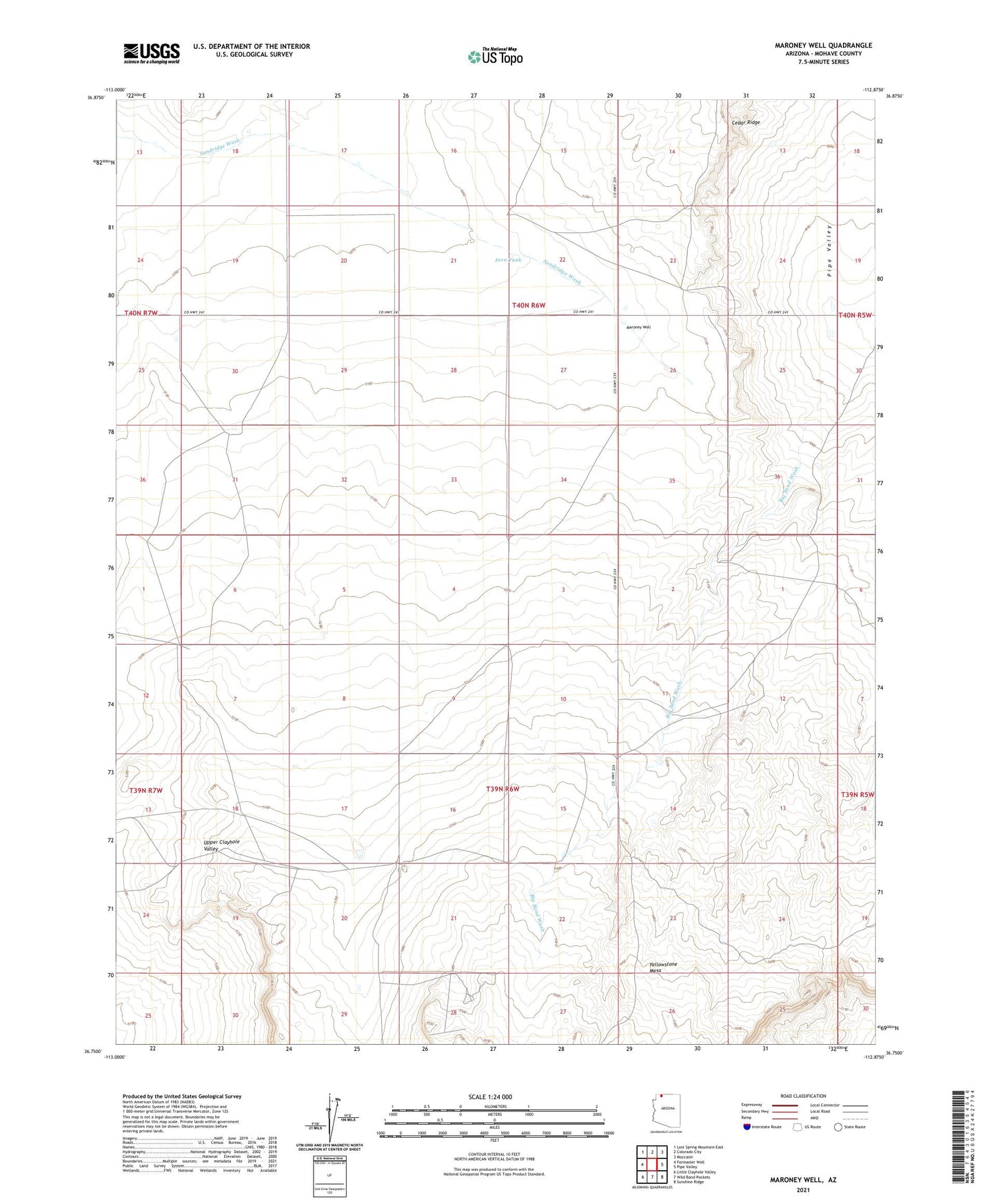
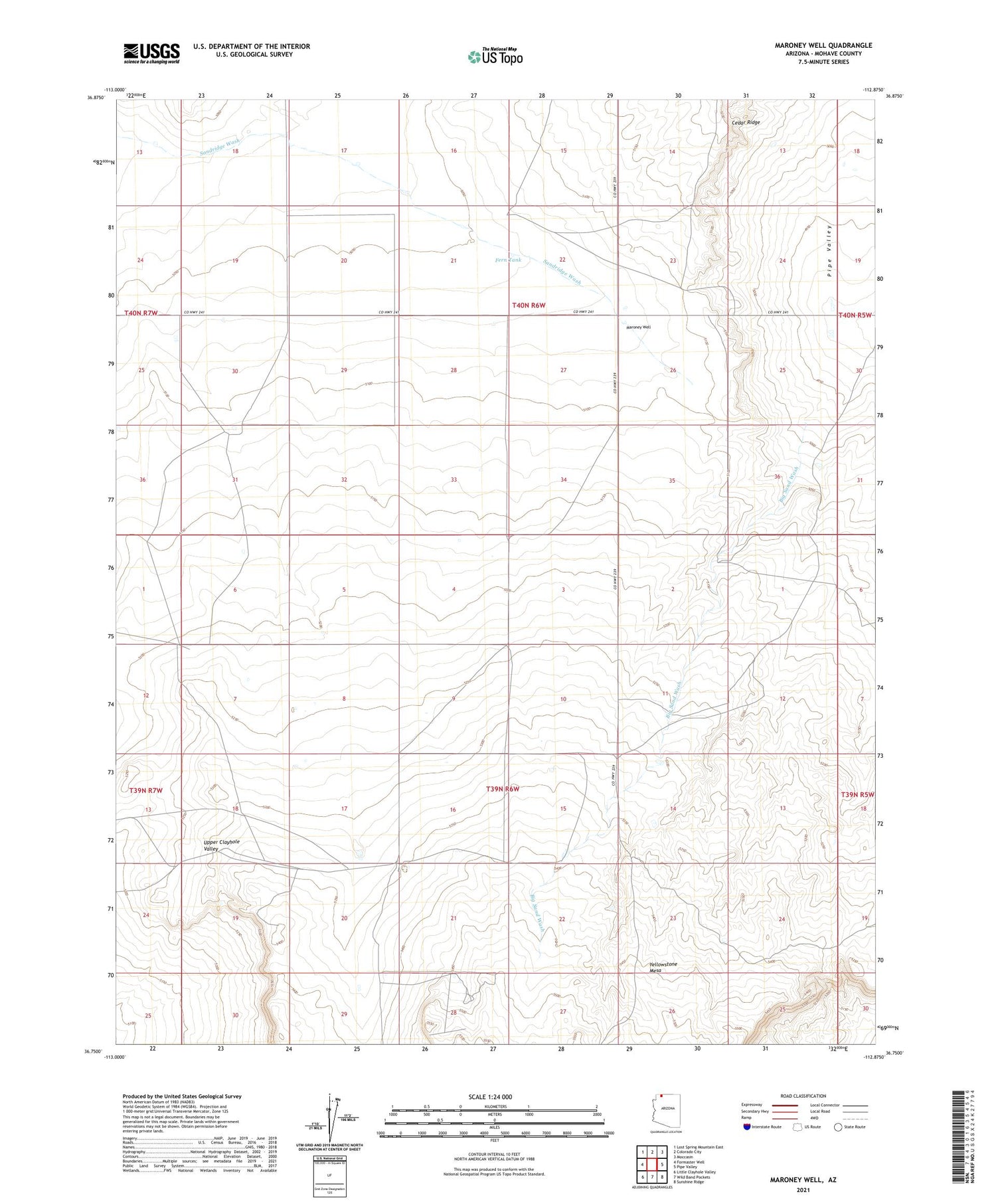
2021 topographic map quadrangle Maroney Well in the state of Arizona. Scale: 1:24000. Based on the newly updated USGS 7.5' US Topo map series, this map is in the following counties: Mohave. The map contains contour data, water features, and other items you are used to seeing on USGS maps, but also has updated roads and other features. This is the next generation of topographic maps. Printed on high-quality waterproof paper with UV fade-resistant inks.
Quads adjacent to this one:
West: Formaster Well
Northwest: Lost Spring Mountain East
North: Colorado City
Northeast: Moccasin
East: Pipe Valley
Southeast: Sunshine Ridge
South: Wild Band Pockets
Southwest: Little Clayhole Valley
This map covers the same area as the classic USGS quad with code o36112g8.
Contains the following named places: Big Sand Wash, Brinkerhoff Well, Cedar Ridge, Daves Well, Esplins Corral, Fern Tank, Gudger Well, Jenson Well, Maroney Well, Yellowstone Mesa