MyTopo
Willow Mountain SE Arizona US Topo Map
Couldn't load pickup availability
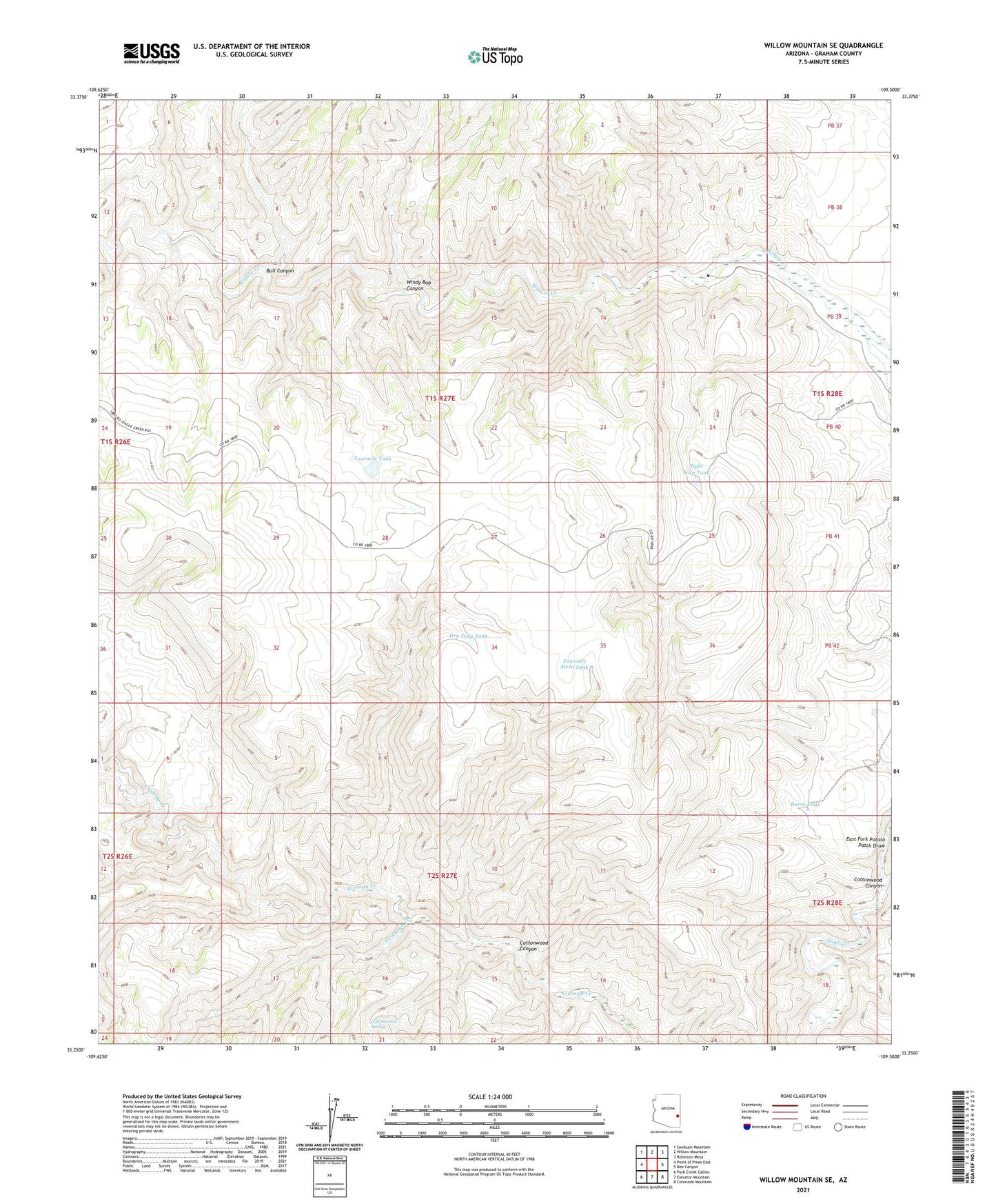
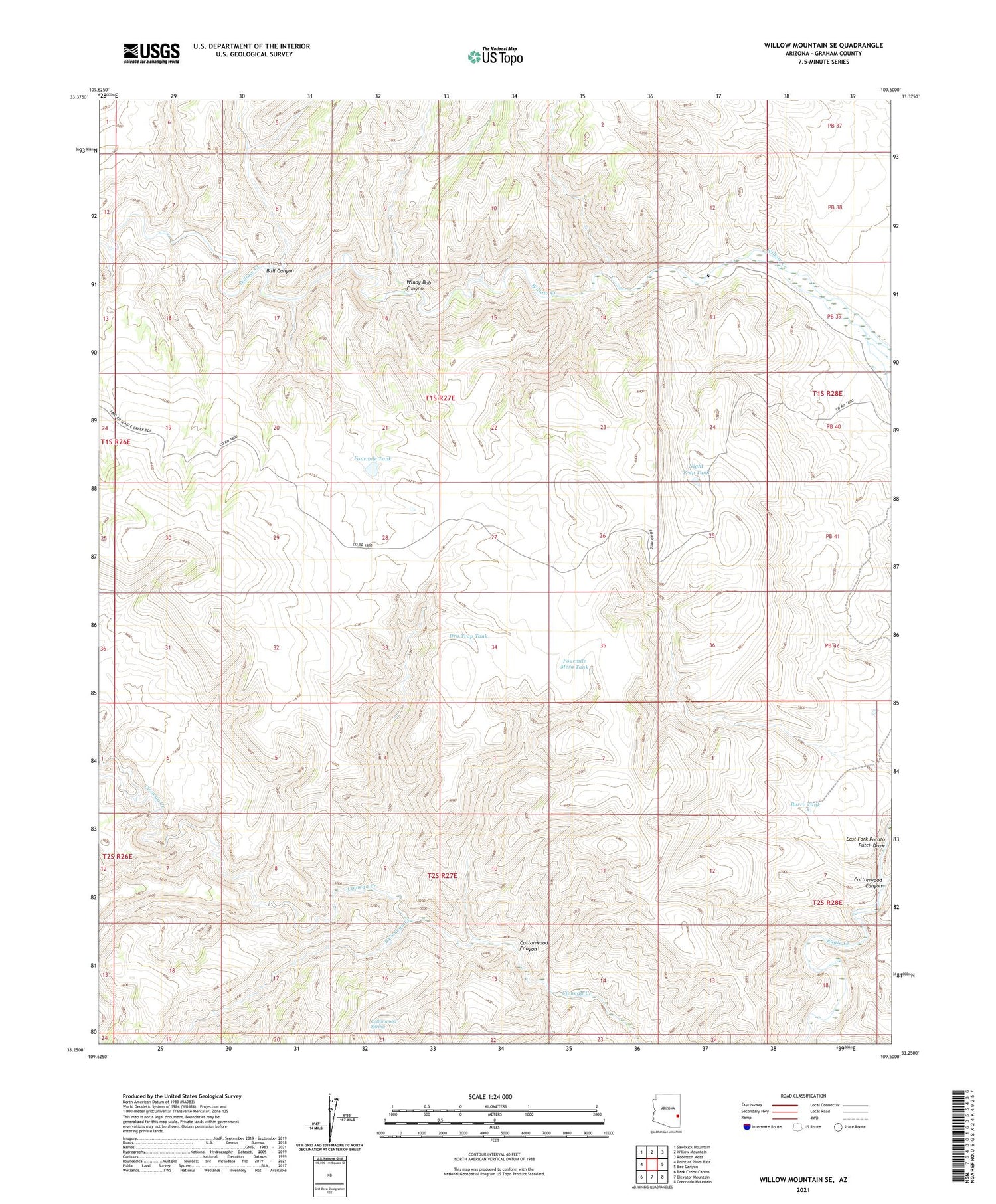
2021 topographic map quadrangle Willow Mountain SE in the state of Arizona. Scale: 1:24000. Based on the newly updated USGS 7.5' US Topo map series, this map is in the following counties: Graham. The map contains contour data, water features, and other items you are used to seeing on USGS maps, but also has updated roads and other features. This is the next generation of topographic maps. Printed on high-quality waterproof paper with UV fade-resistant inks.
Quads adjacent to this one:
West: Point of Pines East
Northwest: Sawbuck Mountain
North: Willow Mountain
Northeast: Robinson Mesa
East: Bee Canyon
Southeast: Coronado Mountain
South: Elevator Mountain
Southwest: Park Creek Cabins
This map covers the same area as the classic USGS quad with code o33109c5.
Contains the following named places: Bull Canyon, Burro Tank, Cottonwood Canyon, Cottonwood Spring, Dry Trap Tank, Eagle Dam, Four Mile Tank Dam, Fourmile Mesa Tank, Fourmile Tank, Night Trap Tank, South Cienega Creek, Windy Bob Canyon