MyTopo
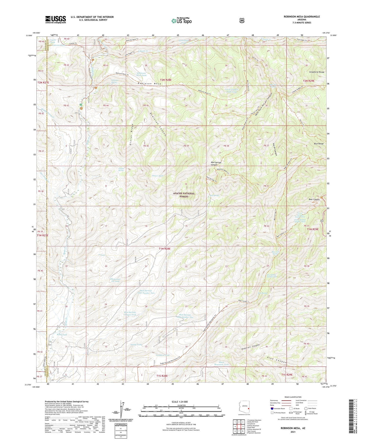
Robinson Mesa Arizona US Topo Map
Couldn't load pickup availability
Also explore the Robinson Mesa Forest Service Topo of this same quad for updated USFS data
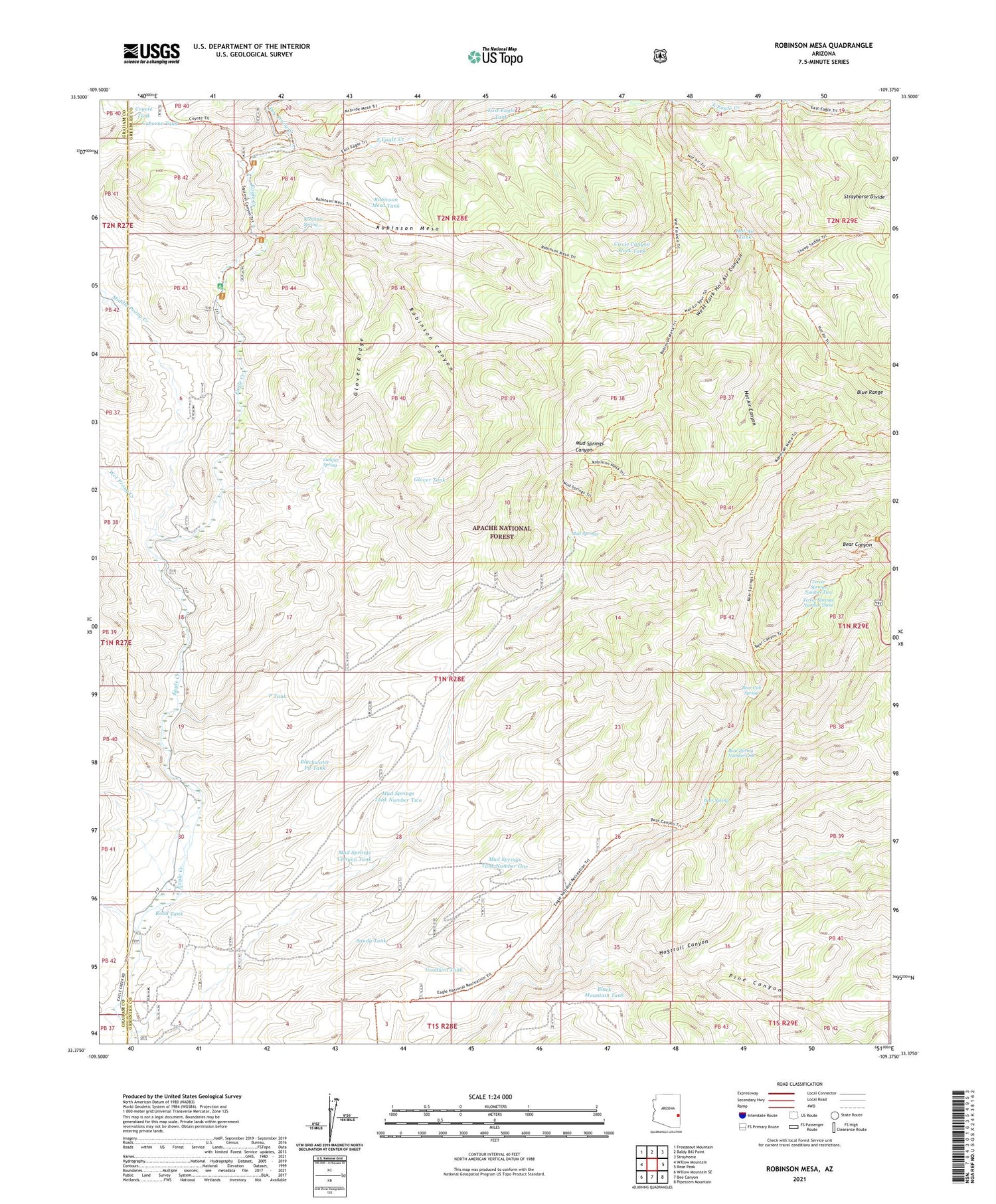
2021 topographic map quadrangle Robinson Mesa in the state of Arizona. Scale: 1:24000. Based on the newly updated USGS 7.5' US Topo map series, this map is in the following counties: Greenlee, Graham. The map contains contour data, water features, and other items you are used to seeing on USGS maps, but also has updated roads and other features. This is the next generation of topographic maps. Printed on high-quality waterproof paper with UV fade-resistant inks.
Quads adjacent to this one:
West: Willow Mountain
Northwest: Freezeout Mountain
North: Baldy Bill Point
Northeast: Strayhorse
East: Rose Peak
Southeast: Pipestem Mountain
South: Bee Canyon
Southwest: Willow Mountain SE
This map covers the same area as the classic USGS quad with code o33109d4.
Contains the following named places: Adbar Trail Fourteen, Bailey Place Corral, Bear Canyon Trail, Bear Cub Spring, Bear Spring, Bear Spring Number One, Big Pasture Tank, Black Mountain Tank, Blackwater Pit Tank, Blue Range, Caborne Tank, Circle Canyon Stock Tank, Coyote Tank, Crabtree Creek, Dry Prong Creek, East Eagle Creek, East Eagle Tank, East Eagle Trail Thirty-Three, Four Drag Ranch, G J Filleman Ranch, Glover Ridge, Glover Tank, Goodwin Tank, Hogtrail Canyon, Hogtrail Corral, Honeymoon Campground, Hot Air Canyon, Hot Air Tank, Hot Air Trail Fifteen, Juniper Spring, Middle Prong Creek, Mud Springs, Mud Springs Canyon Tank, Mud Springs Corral, Mud Springs Tank Number One, Mud Springs Tank Number Two, Mud Springs Trail Forty-nine, P Tank, Pine Canyon, Ranch Corral, Road Tank, Robinson Canyon, Robinson Mesa, Robinson Mesa Corral, Robinson Mesa Tank, Robinson Mesa Twenty-seven Trail, Robinson Spring, Sandy Tank, Sawmill Cabin, Seven Cross A Ranch, Sheep Saddle, Tercer Springs Number One, Tercer Springs Number Three, Tercer Springs Number Two, Trail Tank, West Fork Hot Air Canyon, West Fork Tank, Wet Prong Creek


