MyTopo
Crawfordsville Arkansas US Topo Map
Couldn't load pickup availability
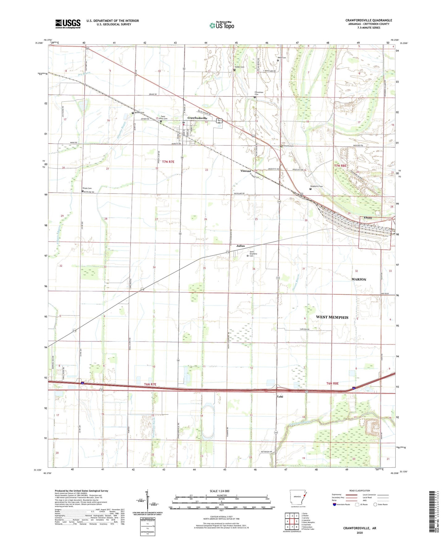
2024 topographic map quadrangle Crawfordsville in the state of Arkansas. Scale: 1:24000. Based on the newly updated USGS 7.5' US Topo map series, this map is in the following counties: Crittenden. The map contains contour data, water features, and other items you are used to seeing on USGS maps, but also has updated roads and other features. This is the next generation of topographic maps. Printed on high-quality waterproof paper with UV fade-resistant inks.
Quads adjacent to this one:
West: Jeanette
Northwest: Earle
North: Heafer
Northeast: Jericho
East: West Memphis
Southeast: Fletcher Lake
South: Edmondson
Southwest: Chatfield
This map covers the same area as the classic USGS quad with code o35090b3.
Contains the following named places: Alligator Bayou, Bethel Cemetery, Burning Bush Church, Corinthian Cemetery, Corinthian Church, Crawfordsville, Crawfordsville Elementary School, Crawfordsville High School, Crawfordsville Post Office, Crawfordsville Volunteer Fire Station, Crittenden County, Crittenden County Landfill, Cunningham Corner, Ditch Number 10, Ditch Number 11, Ditch Number 12, Ditch Number 14, Ditch Number 15, Ditch Number 16, Ditch Number 18, Ditch Number 19, Ditch Number 5, Ditch Number 9, Ebenezer Church, Ebony, Ebony School, Garant Bayou, Jackson Chapel, Julius, Lehi, Lehi School, Mays Cemetery, McNeil School, Mount Olive Church, Mount Zion Church, New Lehi Church, Raspberry Cemetery, Reynold Grove Church, Roberta Island School, Saint Johns Cemetery, Saint Johns Church, Saint Stephens Cemetery, Shiloh Cemetery, Shiloh Church, Solomon's Temple Church, Solomons Temple School, Town of Crawfordsville, Township of Jackson, Trexler Cemetery, Vincent, Vincent Cemetery, ZIP Code: 72327


