MyTopo
Ladd Arkansas US Topo Map
Couldn't load pickup availability
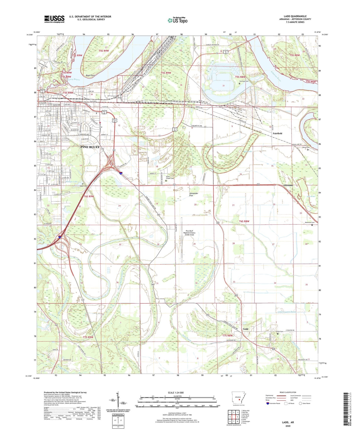
2024 topographic map quadrangle Ladd in the state of Arkansas. Scale: 1:24000. Based on the newly updated USGS 7.5' US Topo map series, this map is in the following counties: Jefferson. The map contains contour data, water features, and other items you are used to seeing on USGS maps, but also has updated roads and other features. This is the next generation of topographic maps. Printed on high-quality waterproof paper with UV fade-resistant inks.
Quads adjacent to this one:
West: Pine Bluff
Northwest: White Hall
North: Rob Roy
Northeast: Altheimer
East: Moscow
Southeast: Tarry
South: Pinebergen
Southwest: Faith
This map covers the same area as the classic USGS quad with code o34091b8.
Contains the following named places: 34th Avenue Elementary School, 34th Avenue Fine and Performing Arts Magnet School, 71601, Alexander Flat, Alice Brake, Arkansas State Police Criminal Investigations Division Company B, Atkins Cemetery, Atkins Lake, Belair Middle School, Belair Presbyterian Church, Belmont Park, Bethel Church, Boyd Point, Broadmoor Baptist Church, Broadmoor Elementary School, Broadmoor School, Broadmoor Shopping Center, Broomfield Church, Burkes School, Caney Bayou, Carr Memorial United Methodist Church, Christian Fellowship Missionary Baptist Church, East Plaza Shopping Center, East Side Baptist Church, East Side Christian Church, Edmunds School, Fairfield, Fairfield Cemetery, Faith Cathedral, First Ward Elementary School, Glen Brake, Glenlake, Grassy Lake, Harding Drain, Harmony Baptist Church, Hutson Park, Imbeau Bayou, Indiana Street Baptist Church, Indiana Street Elementary School, Johnson Lake, KOTN-AM (Pine Bluff), Ladd, Lake Langhofer, Lakeside Chapel, Lamberts, Lamberts School, Lamkin Chapel Missionary Baptist Church, Lock and Dam Number Four, Magic Mart Shopping Center, Morning Star Church, Motleys Chapel, Mount Calvary Baptist Church, Murphy School, New Hope Christian Methodist Episcopal Church, New Saint Hurricane Baptist Church, New Saint James Church, Oak Grove Church, Oak Grove School, Parsons Hill Church, Patterson Cemetery, Phillips Lake, Phillips Lake Dam, Pine Bluff Convention Center, Pine Bluff Fire Department Station 4, Pine Bluff Regional Airport Grider Field, Pine Bluff Regional Park, Pines Mall Shopping Center, Pleasant Grove Baptist Church, Pool Four, Saint James Church, Saint Raphaels Church, Second Baptist Church, Sheppard Island Public Use Area, Smith Cemetery, Smith Chapel, Smith Chapel Cemetery, Southeast High School, Southeast Middle School, Southeast Volunteer Fire Department, Stewart Chapel, Taylor Cemetery, Taylor Chapel, The Apostolic Church, Thirty-fourth Avenue Fine and Performing Arts Magnet School, Township of Victoria


