MyTopo
Moscow Arkansas US Topo Map
Couldn't load pickup availability
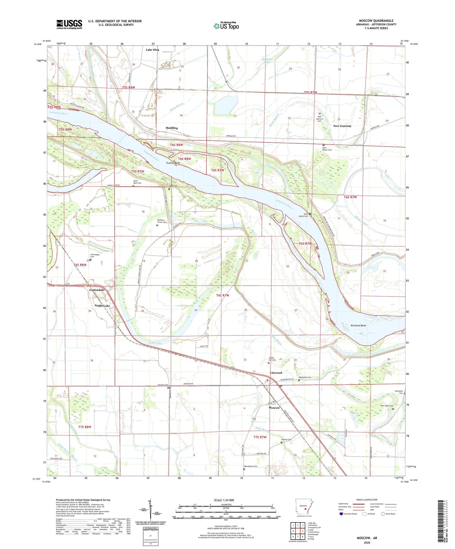
2024 topographic map quadrangle Moscow in the state of Arkansas. Scale: 1:24000. Based on the newly updated USGS 7.5' US Topo map series, this map is in the following counties: Jefferson. The map contains contour data, water features, and other items you are used to seeing on USGS maps, but also has updated roads and other features. This is the next generation of topographic maps. Printed on high-quality waterproof paper with UV fade-resistant inks.
Quads adjacent to this one:
West: Ladd
Northwest: Rob Roy
North: Altheimer
Northeast: Humphrey SW
East: Cornerstone
Southeast: Grady
South: Tarry
Southwest: Pinebergen
This map covers the same area as the classic USGS quad with code o34091b7.
Contains the following named places: Bass Chapel, Bass Chapel School, Blackman Cemetery, Brunson Crossing, Cherry Hill Cemetery, Cherry Hill Church, Cottondale, Cottondale Cemetery, Cottondale School, Elm Grove Church, Hunters Cemetery, Lakeside Church, Lakeside School, Linwood, Linwood Baptist Church, Linwood Moscow Volunteer Fire Department, Linwood School, Little Cypress Bayou, Macedonia Cemetery, Macedonia Church, Madding, Maddings Ferry, Moscow, Moscow Post Office, Mulberry Grove Cemetery, Mulberry Grove Church, New Gascony, New Gascony Cemetery, New Hope Cemetery, New Hope Church, New Hope School, Nicholson Cemetery, Noble Lake, Oak Ridge School, Old Channel Plum Bayou, Olive Branch Church, Pilgrims Rest Church, Ray Station, Richland Bend, Saint James Cemetery, Saint James Church, Saint Peters Cemetery, Saint Peters Church, Saint Ruth Cemetery, Saint Ruth Church, Township of Bogy, Township of Richland, Trulock Bend, Trulock Public Use Area, Vaster School, Walstein Cemetery, Watt Cemetery, Wattensaw Church, Whites Cemetery, ZIP Code: 71659


