MyTopo
Luxora Arkansas US Topo Map
Couldn't load pickup availability
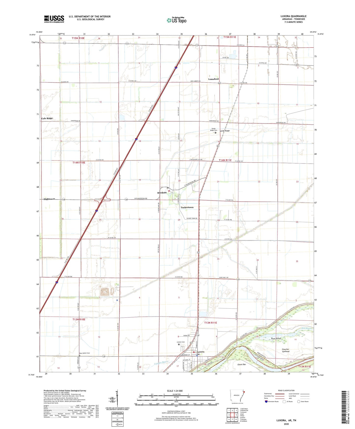
2024 topographic map quadrangle Luxora in the state of Arkansas. Scale: 1:24000. Based on the newly updated USGS 7.5' US Topo map series, this map is in the following counties: Mississippi, Lauderdale. The map contains contour data, water features, and other items you are used to seeing on USGS maps, but also has updated roads and other features. This is the next generation of topographic maps. Printed on high-quality waterproof paper with UV fade-resistant inks.
Quads adjacent to this one:
West: Dell
Northwest: Half Moon
North: Blytheville
Northeast: Armorel
East: Rosa
Southeast: Golddust
South: Osceola
Southwest: Keiser
Contains the following named places: Archillian Station, Burdette, Burdette Elementary School, Burdette Post Office, Burdette School, Burdette Volunteer Fire Department, Citizen Cemetery, City of Luxora, Cole Ridge, Cole Ridge Baptist Church, Cotton Boll Vocational Tech School, Ditch Number 19, Ditch Number 20, Ditch Number 23, Ditch Number 24, Ditch Number 25, Ditch Number 35, Ditch Number 36, Ditch Number 6, Ditch Number 67, Ditch Number 70, First Baptist Church of Luxora, Fletcher Bend Revetment, Fletcher Towhead, Full Gospel Church, Jerusalem Church, Lemsford, Luxora, Luxora Elementary School, Luxora Police Department, Luxora Post Office, Luxora Volunteer Fire Department, Mill Bayou, Mississippi County Landfill, Mississippi County Penal Farm, Mississippi County Sheriff's Office, Mount Israel Church, New Liberty Baptist Church, New Salem, New Salem Cemetery, New Salem Church, Rosa Pocket, Sandy Ridge, Sandy Ridge Cemetery, Sandy Ridge School, Shady Lane School, Toluca, Town of Burdette, Township of Burdette, Township of Clear Lake, Township of Fletcher, Tuckertown, Wolverton, ZIP Codes: 72321, 72358