MyTopo
Peach Orchard Arkansas US Topo Map
Couldn't load pickup availability
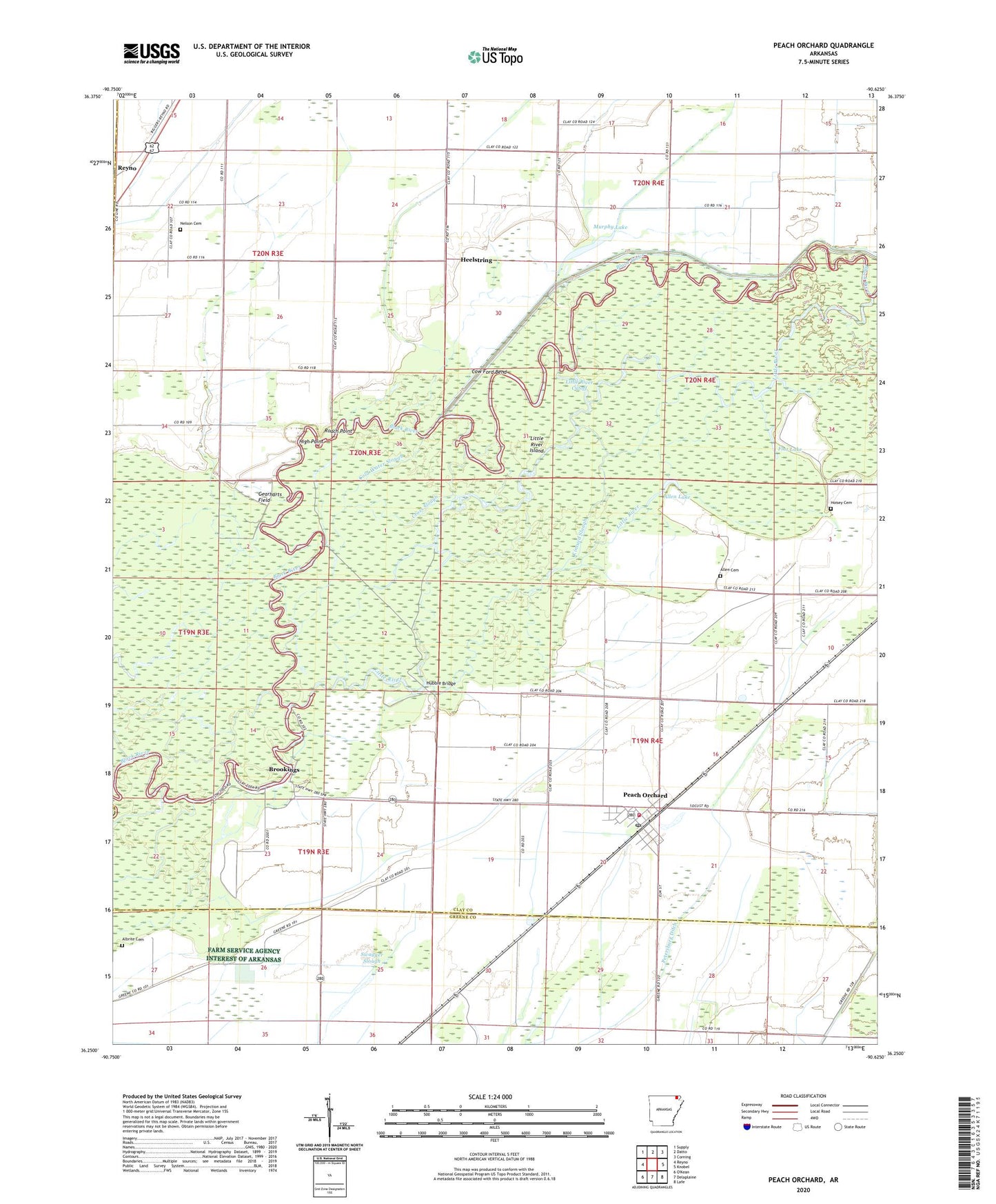
2024 topographic map quadrangle Peach Orchard in the state of Arkansas. Scale: 1:24000. Based on the newly updated USGS 7.5' US Topo map series, this map is in the following counties: Clay, Greene, Randolph. The map contains contour data, water features, and other items you are used to seeing on USGS maps, but also has updated roads and other features. This is the next generation of topographic maps. Printed on high-quality waterproof paper with UV fade-resistant inks.
Quads adjacent to this one:
West: Reyno
Northwest: Supply
North: Datto
Northeast: Corning
East: Knobel
Southeast: Lafe
South: Delaplaine
This map covers the same area as the classic USGS quad with code o36090c6.
Contains the following named places: Albrite Cemetery, Allen Cemetery, Allen Lake, Alligator Hole, Black River State Game Area, Brookings, Browns Chapel, City of Peach Orchard, Cold Water Slough, Cow Ford Bend, Cross Slough, Flat Lake, Gearharts Field, Heelstring, High Point, Hopewell Church, Hosea Cemetery, Hubble Bridge, Kincaid Slough, Little River, Little River Cutoff, Little River Island, Mill Lake, Mollus, Murphy Lake, Murphy Lake Ditch, Nelson Cemetery, Nelson School, Peach Orchard, Peach Orchard Post Office, Peach Orchard Volunteer Fire Department Station 1, Petersburg Ditch, Pirtle Church, Rankine Slough, Roach Point, Scott School, Smithwick School, Swagger Slough, Township of Clark, Township of Nelson, Washington School, Woodland Slough, ZIP Code: 72453


