MyTopo
Baker California US Topo Map
Couldn't load pickup availability
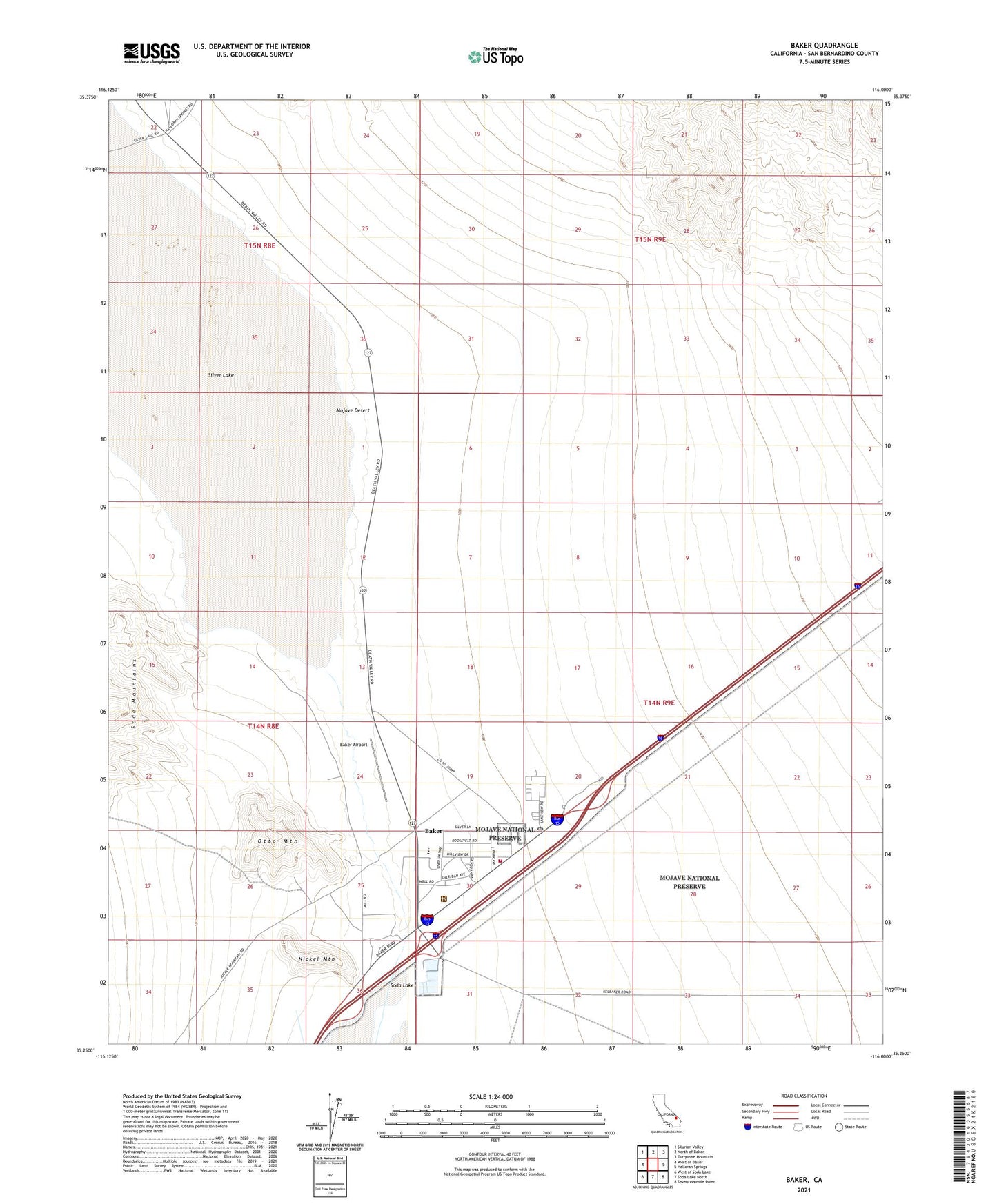
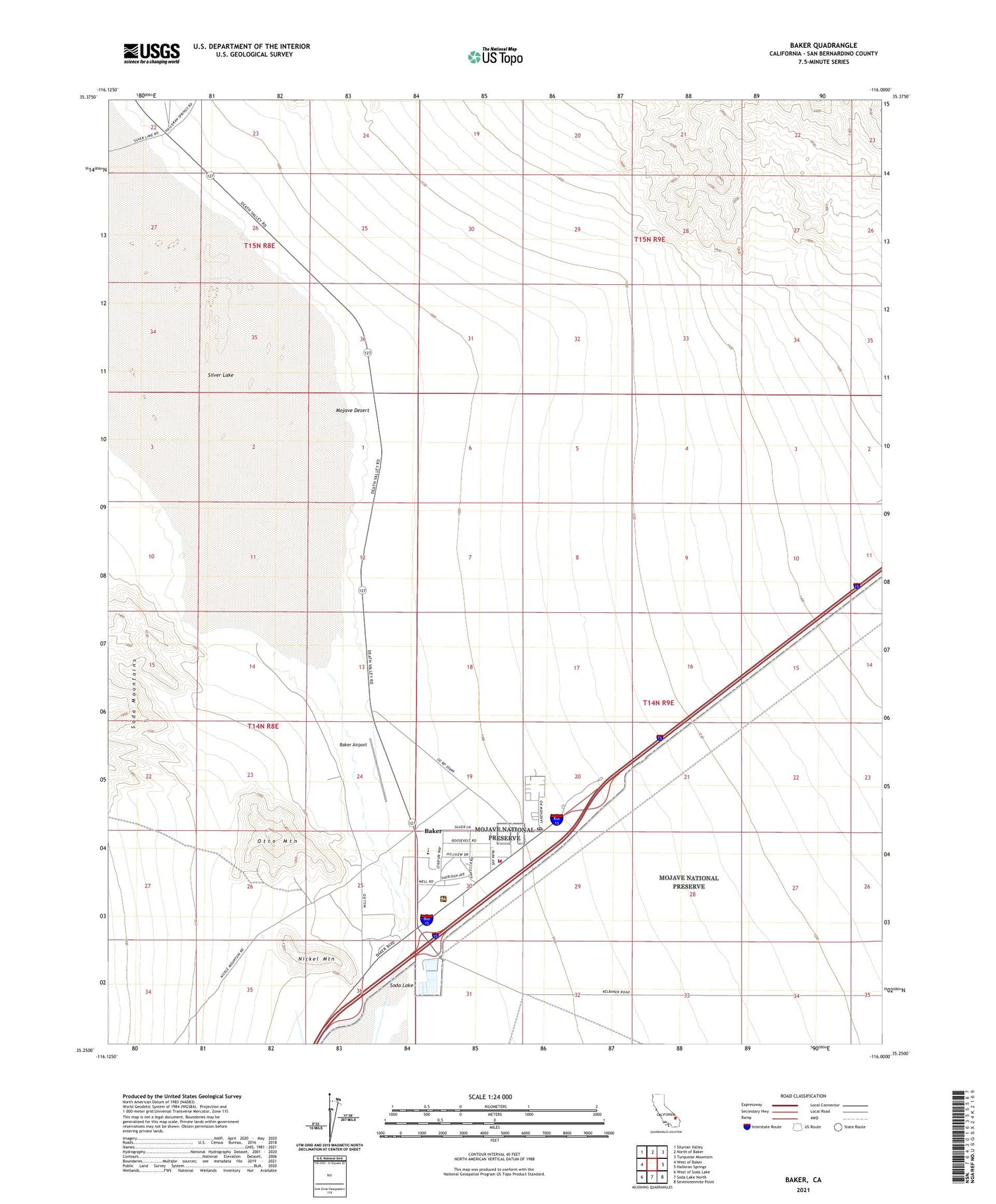
2021 topographic map quadrangle Baker in the state of California. Scale: 1:24000. Based on the newly updated USGS 7.5' US Topo map series, this map is in the following counties: San Bernardino. The map contains contour data, water features, and other items you are used to seeing on USGS maps, but also has updated roads and other features. This is the next generation of topographic maps. Printed on high-quality waterproof paper with UV fade-resistant inks.
Quads adjacent to this one:
West: West of Baker
Northwest: Silurian Valley
North: North of Baker
Northeast: Turquoise Mountain
East: Halloran Springs
Southeast: Seventeenmile Point
South: Soda Lake North
Southwest: West of Soda Lake
This map covers the same area as the classic USGS quad with code o35116c1.
Contains the following named places: Baker, Baker Airport, Baker Census Designated Place, Baker Elementary School, Baker Emergency Medical Services, Baker High School, Baker Junior High School, Baker Post Office, Chet Hoffman Park, Halloran Wash, Hollow Hills Wilderness, Nickel Mountain, Otto Mine, Otto Mountain, San Bernardino County Fire Department Station 53 Baker, San Bernardino County Sheriff's Department - Baker Substation, Silver Lake, Silver Lake Airport, ZIP Code: 92309