MyTopo
Soda Lake North California US Topo Map
Couldn't load pickup availability
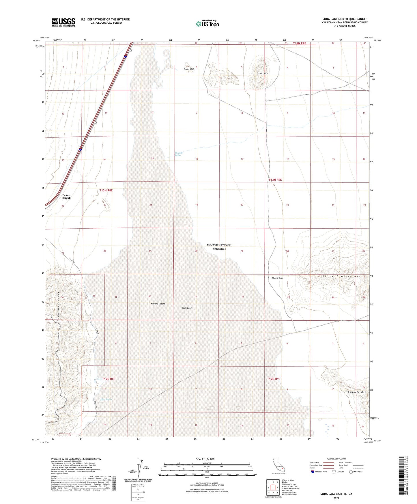
2021 topographic map quadrangle Soda Lake North in the state of California. Scale: 1:24000. Based on the newly updated USGS 7.5' US Topo map series, this map is in the following counties: San Bernardino. The map contains contour data, water features, and other items you are used to seeing on USGS maps, but also has updated roads and other features. This is the next generation of topographic maps. Printed on high-quality waterproof paper with UV fade-resistant inks.
Quads adjacent to this one:
West: West of Soda Lake
Northwest: West of Baker
North: Baker
Northeast: Halloran Springs
East: Seventeenmile Point
Southeast: Cowhole Mountain
South: Soda Lake South
Southwest: Crucero Hill
This map covers the same area as the classic USGS quad with code o35116b1.
Contains the following named places: Hanks Mountain, Joshua Tree National Park Headquarters, Little Cowhole Mountain, Luckie Park, Mesquite Spring, Oasis School, Shortz Lake, Smith Ranch, Soda Lake, Squat Hill, Zzyzx, Zzyzx Airstrip, Zzyzx Spring