MyTopo
Balls Ferry California US Topo Map
Couldn't load pickup availability
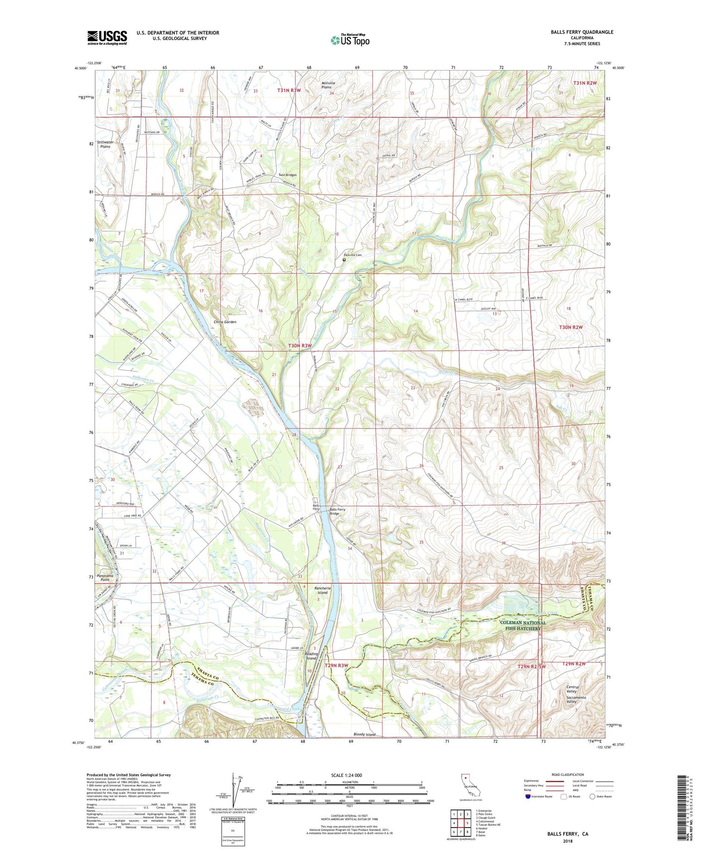
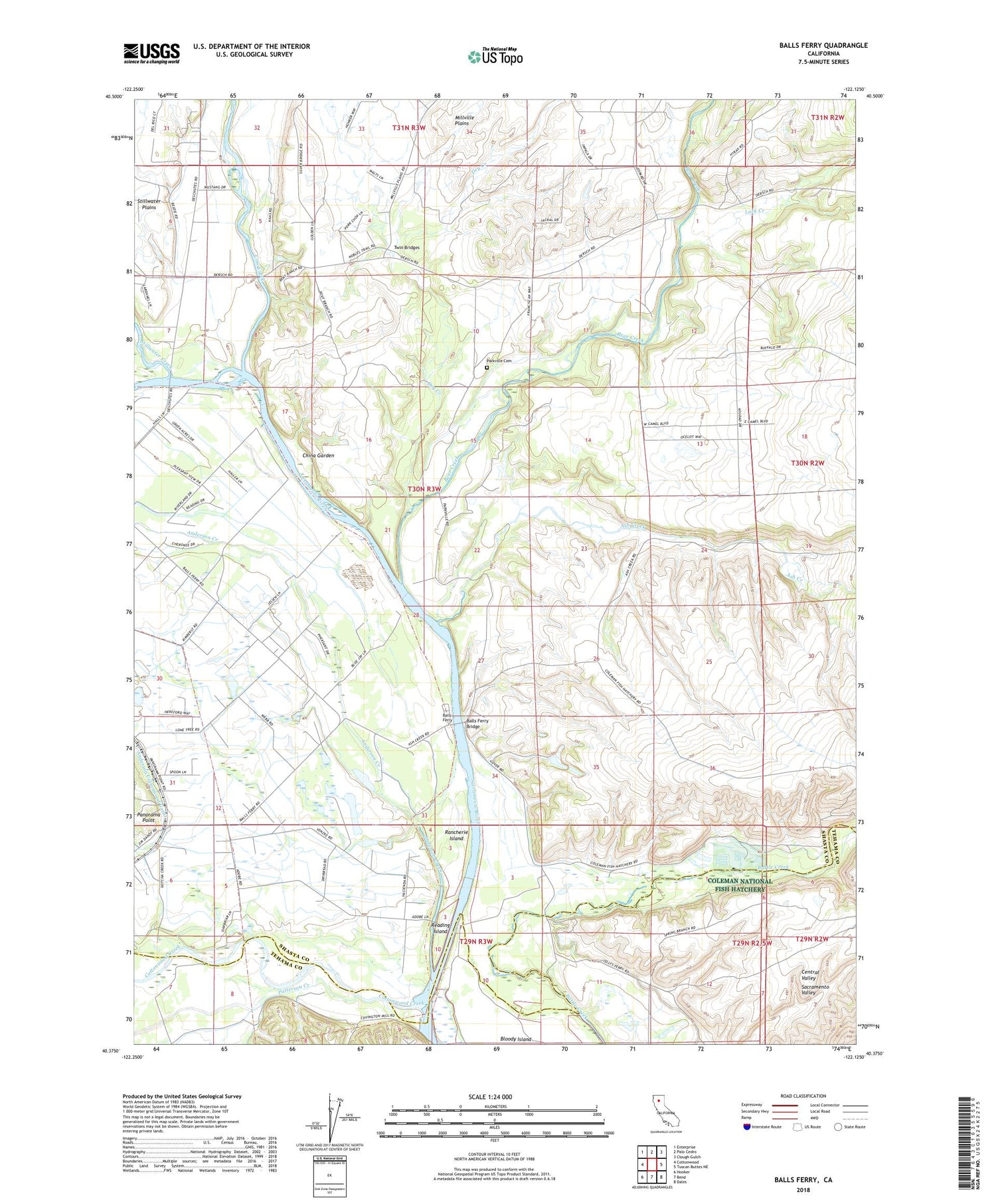
2021 topographic map quadrangle Balls Ferry in the state of California. Scale: 1:24000. Based on the newly updated USGS 7.5' US Topo map series, this map is in the following counties: Shasta, Tehama. The map contains contour data, water features, and other items you are used to seeing on USGS maps, but also has updated roads and other features. This is the next generation of topographic maps. Printed on high-quality waterproof paper with UV fade-resistant inks.
Quads adjacent to this one:
West: Cottonwood
Northwest: Enterprise
North: Palo Cedro
Northeast: Clough Gulch
East: Tuscan Buttes NE
Southeast: Dales
South: Bend
Southwest: Hooker
This map covers the same area as the classic USGS quad with code o40122d2.
Contains the following named places: Anderson Creek, Ash Creek, Balls Ferry, Balls Ferry Bridge, Balls Ferry Fishing Resort, Bear Creek, China Garden, Coleman National Fish Hatchery, Cottonwood Creek, Cow Creek, Dersch Ranch, Dry Creek, Fort Reading Ranch, KRDG-AM (Redding), Lack Creek, Lone Tree Community Center, Lone Tree School, Panorama Point, Parkville Cemetery, Parkville School, Patterson Creek, Rancherie Island, Rancho Buena Ventura, Rancho Buenaventura, Reading Adobe, Reading Adobe Historical Marker, Reading Island, Sacramento River School, Stillwater Creek, Twin Bridges