MyTopo
Borrego Mountain SE California US Topo Map
Couldn't load pickup availability
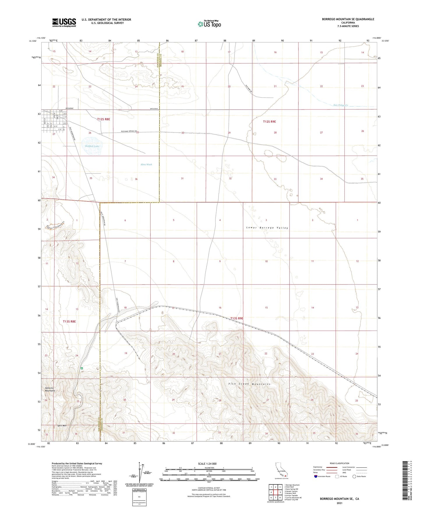
2021 topographic map quadrangle Borrego Mountain SE in the state of California. Scale: 1:24000. Based on the newly updated USGS 7.5' US Topo map series, this map is in the following counties: Imperial, San Diego. The map contains contour data, water features, and other items you are used to seeing on USGS maps, but also has updated roads and other features. This is the next generation of topographic maps. Printed on high-quality waterproof paper with UV fade-resistant inks.
Quads adjacent to this one:
West: Harper Canyon
Northwest: Borrego Mountain
North: Shell Reef
Northeast: Kane Spring NW
East: Harpers Well
Southeast: Plaster City NW
South: Carrizo Mountain NE
Southwest: Arroyo Tapiado
This map covers the same area as the classic USGS quad with code o33116a1.
Contains the following named places: Alma Wash, Baileys Well, County Well, Halfhill Lake, Ocotillo Badlands, Split Mountain