MyTopo
Bucksnort Mountain California US Topo Map
Couldn't load pickup availability
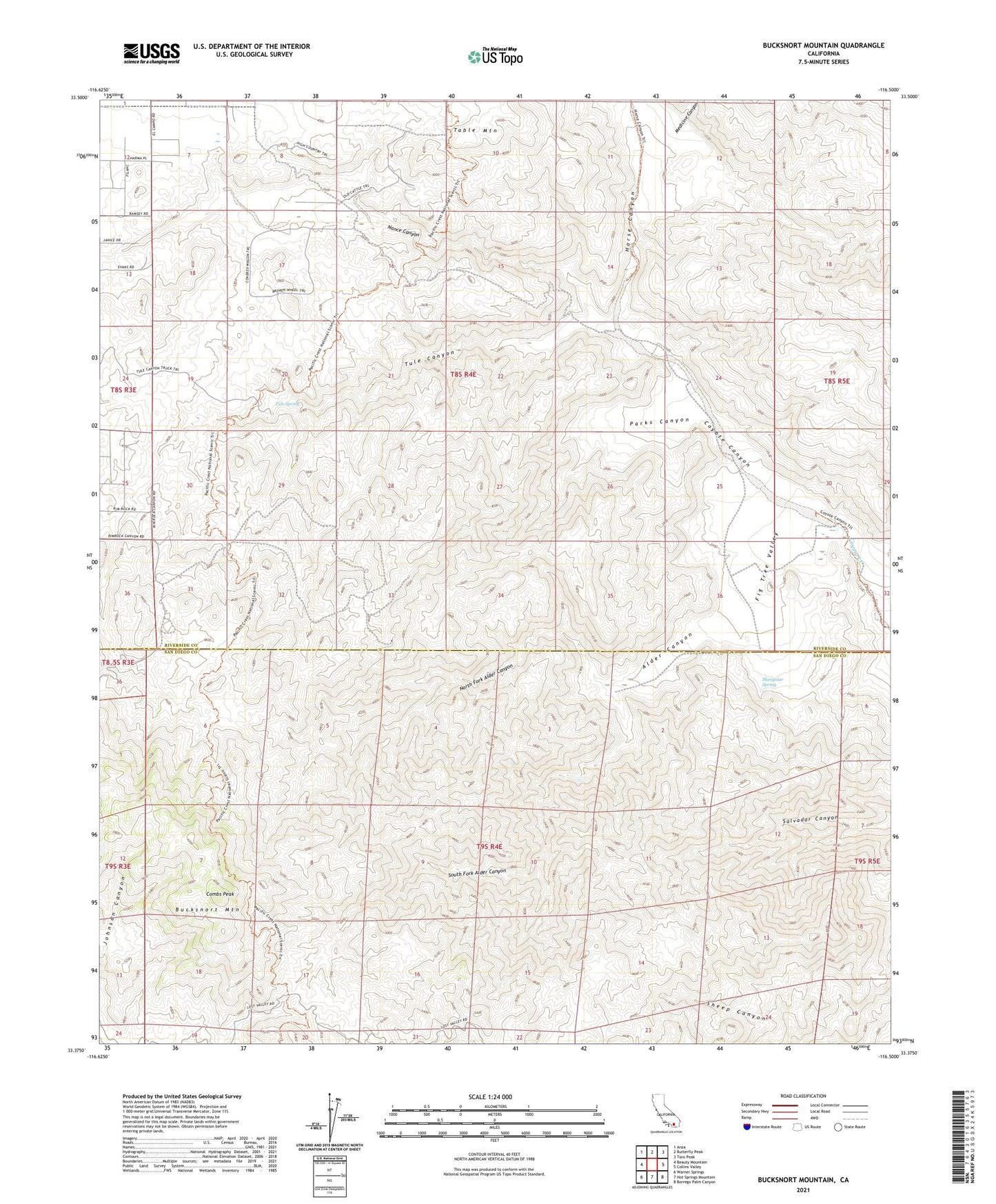
2021 topographic map quadrangle Bucksnort Mountain in the state of California. Scale: 1:24000. Based on the newly updated USGS 7.5' US Topo map series, this map is in the following counties: Riverside, San Diego. The map contains contour data, water features, and other items you are used to seeing on USGS maps, but also has updated roads and other features. This is the next generation of topographic maps. Printed on high-quality waterproof paper with UV fade-resistant inks.
Quads adjacent to this one:
West: Beauty Mountain
Northwest: Anza
North: Butterfly Peak
Northeast: Toro Peak
East: Collins Valley
Southeast: Borrego Palm Canyon
South: Hot Springs Mountain
Southwest: Warner Springs
This map covers the same area as the classic USGS quad with code o33116d5.
Contains the following named places: Alder Canyon, Bucksnort Mountain, Combs Peak, Fig Tree Valley, Horse Canyon, Mangalar Spring, Medicine Canyon, Nance Canyon, North Fork Alder Canyon, Parks Canyon, South Fork Alder Canyon, Tule Canyon, Tule Spring, Turkey Track, Upper Willows, White Wash