MyTopo
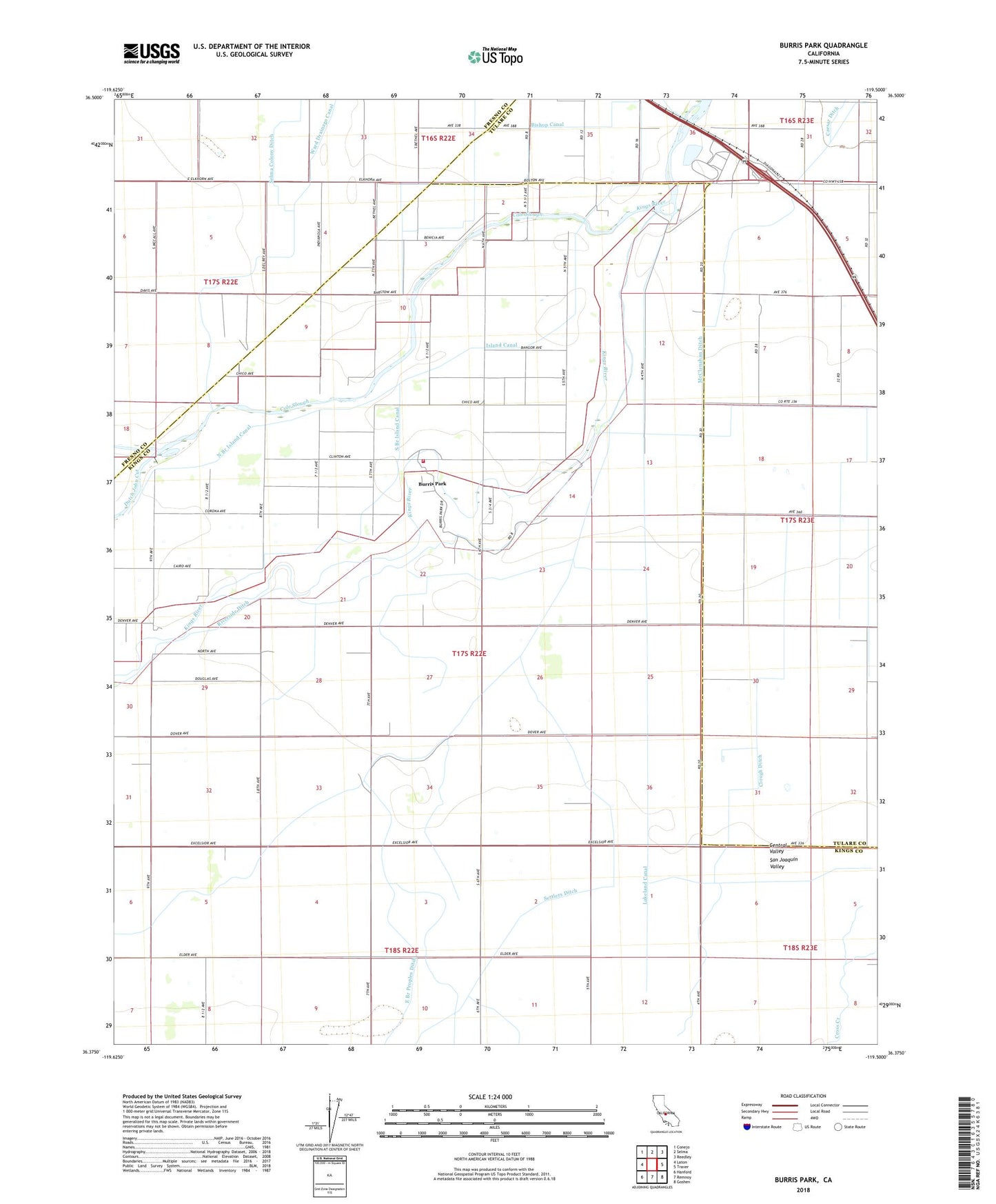
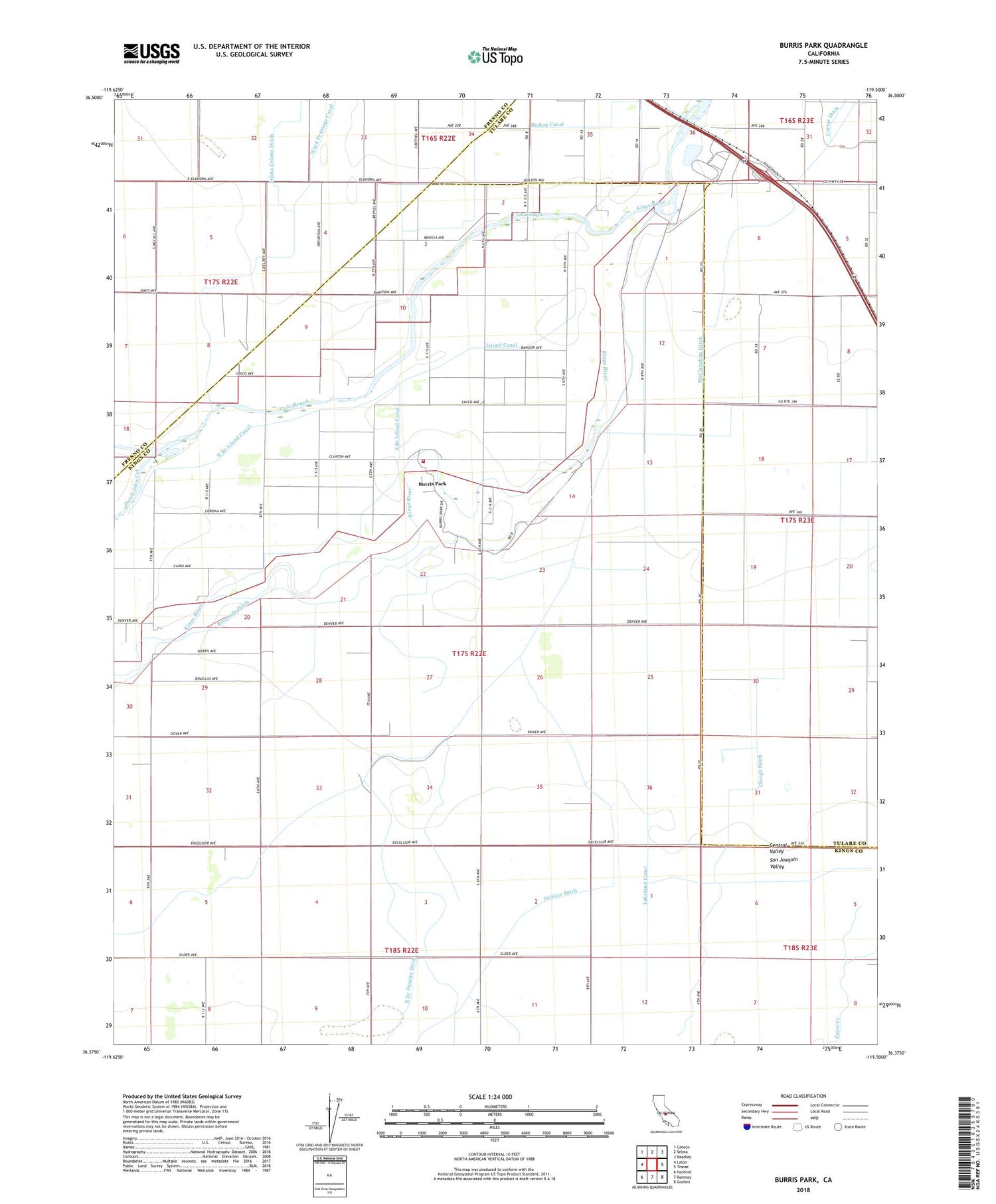
Burris Park California US Topo Map
Couldn't load pickup availability
2021 topographic map quadrangle Burris Park in the state of California. Scale: 1:24000. Based on the newly updated USGS 7.5' US Topo map series, this map is in the following counties: Kings, Tulare, Fresno. The map contains contour data, water features, and other items you are used to seeing on USGS maps, but also has updated roads and other features. This is the next generation of topographic maps. Printed on high-quality waterproof paper with UV fade-resistant inks.
Quads adjacent to this one:
West: Laton
Northwest: Conejo
North: Selma
Northeast: Reedley
East: Traver
Southeast: Goshen
South: Remnoy
Southwest: Hanford
This map covers the same area as the classic USGS quad with code o36119d5.
Contains the following named places: Bishop Canal, Burris Park, Clough Ditch, Dias and Dias Dairy Complex, Dover Dairy, Excelsior School, Fagundes Ranch, Five J's Dairy, Hanford Northeast Division, Island Canal, Kings County Fire Department Station 1 Burris Park, KJET-FM (Kingsburg), Lakeland Canal, McClanahan Ditch, North Branch Island Canal, Peoples Weir 79, River Bend School, Riverside Ditch, Settlers Ditch, South Branch Island Canal, Triple F Ranch, Ward Drainage Canal, Willow Grove Farms Dairy, ZIP Code: 93631