MyTopo
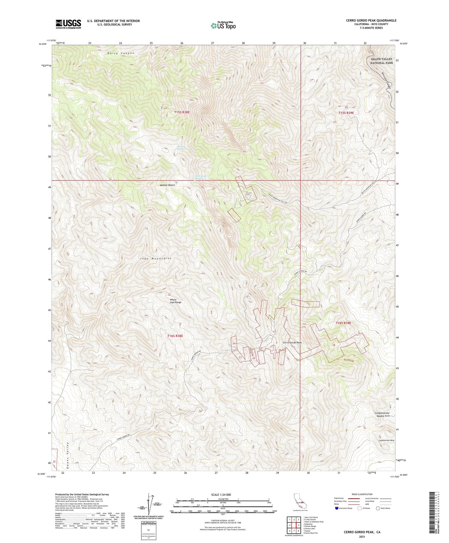
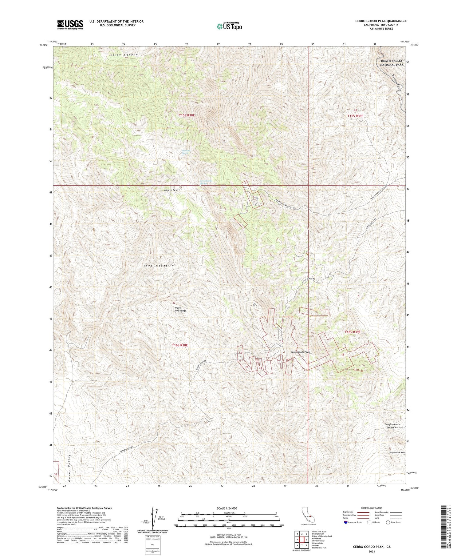
Cerro Gordo Peak California US Topo Map
Couldn't load pickup availability
2021 topographic map quadrangle Cerro Gordo Peak in the state of California. Scale: 1:24000. Based on the newly updated USGS 7.5' US Topo map series, this map is in the following counties: Inyo. The map contains contour data, water features, and other items you are used to seeing on USGS maps, but also has updated roads and other features. This is the next generation of topographic maps. Printed on high-quality waterproof paper with UV fade-resistant inks.
Quads adjacent to this one:
West: Dolomite
Northwest: New York Butte
North: Craig Canyon
Northeast: West of Ubehebe Peak
East: Nelson Range
Southeast: Santa Rosa Flat
South: Keeler
Southwest: Owens Lake
This map covers the same area as the classic USGS quad with code o36117e7.
Contains the following named places: Belmont Mine, Bonham Mines, Cerro Gordo Mine, Cerro Gordo Peak, Cerro Gordo Spring, Conglomerate Double Arch, Ella Mine, Estelle Tunnel, Harts Camp, Holiday Mine, Ignacio Mine, Mexican Spring, Morning Star Mine, Newtown Mine, Omega Tunnel, San Lucas Mine, Silver Spear Mine, Sunset Mine