
MyTopo
West of Ubehebe Peak California US Topo Map
Couldn't load pickup availability
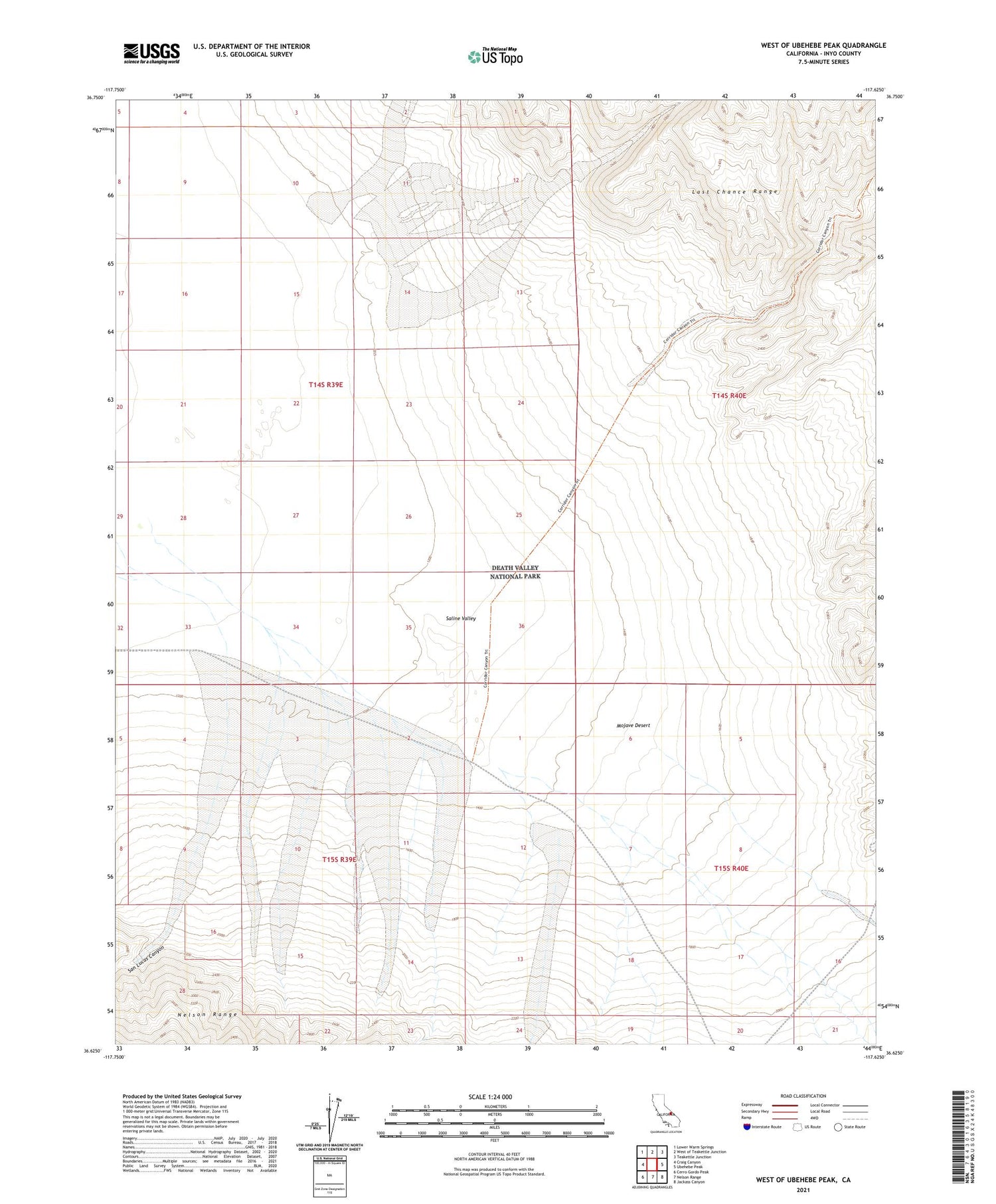
2021 topographic map quadrangle West of Ubehebe Peak in the state of California. Scale: 1:24000. Based on the newly updated USGS 7.5' US Topo map series, this map is in the following counties: Inyo. The map contains contour data, water features, and other items you are used to seeing on USGS maps, but also has updated roads and other features. This is the next generation of topographic maps. Printed on high-quality waterproof paper with UV fade-resistant inks.
Quads adjacent to this one:
West: Craig Canyon
Northwest: Lower Warm Springs
North: West of Teakettle Junction
Northeast: Teakettle Junction
East: Ubehebe Peak
Southeast: Jackass Canyon
South: Nelson Range
Southwest: Cerro Gordo Peak
This map covers the same area as the classic USGS quad with code o36117f6.
Contains the following named places: San Lucas Canyon


