MyTopo
China Gardens Spring California US Topo Map
Couldn't load pickup availability
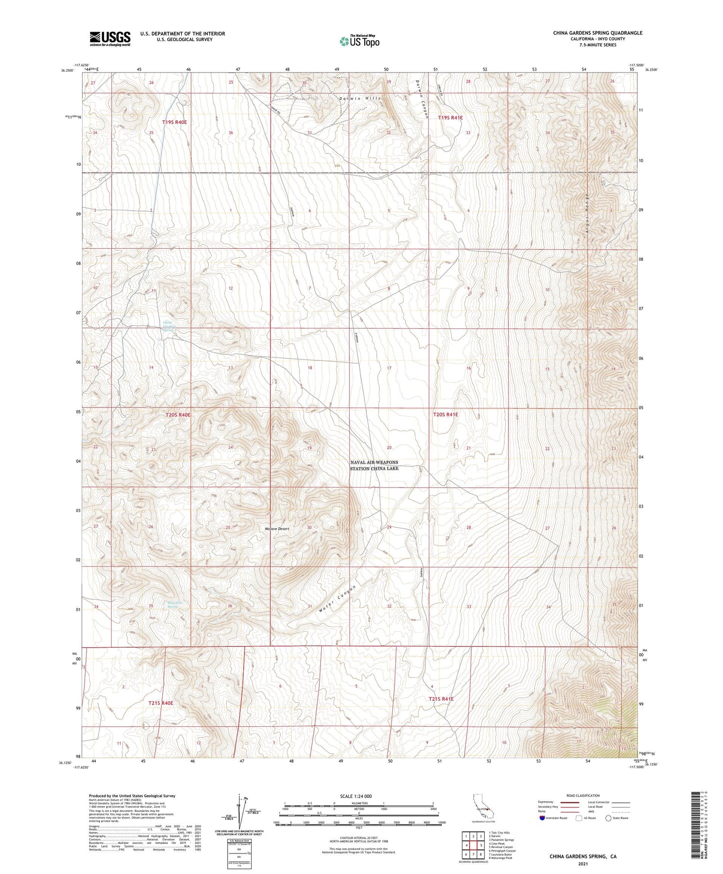
2021 topographic map quadrangle China Gardens Spring in the state of California. Scale: 1:24000. Based on the newly updated USGS 7.5' US Topo map series, this map is in the following counties: Inyo. The map contains contour data, water features, and other items you are used to seeing on USGS maps, but also has updated roads and other features. This is the next generation of topographic maps. Printed on high-quality waterproof paper with UV fade-resistant inks.
Quads adjacent to this one:
West: Coso Peak
Northwest: Talc City Hills
North: Darwin
Northeast: Panamint Springs
East: Revenue Canyon
Southeast: Maturango Peak
South: Louisiana Butte
Southwest: Petroglyph Canyon
Contains the following named places: China Gardens Spring, China Gardens Wash, Columbia Mine, Crystal Wash, Darwin East Gate, Darwin West Gate, Domingo Wash, Indian Gardens Wash, Junction Wash, Lucky Jim Wash, Mud Hole Spring, Silverspoon Mine, Water Canyon