
MyTopo
Darwin California US Topo Map
Couldn't load pickup availability
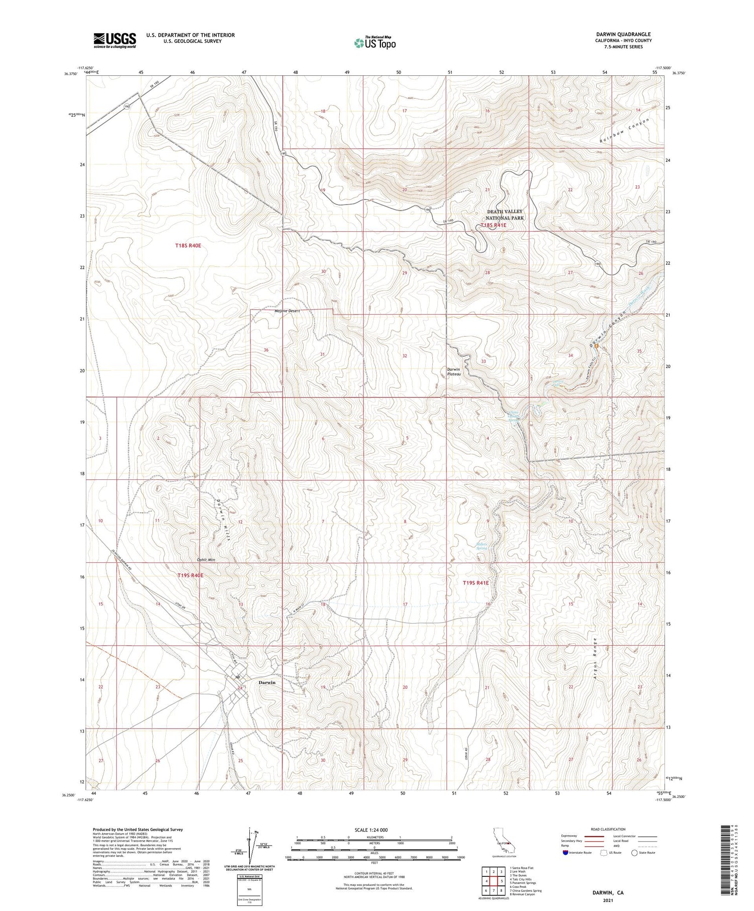
2021 topographic map quadrangle Darwin in the state of California. Scale: 1:24000. Based on the newly updated USGS 7.5' US Topo map series, this map is in the following counties: Inyo. The map contains contour data, water features, and other items you are used to seeing on USGS maps, but also has updated roads and other features. This is the next generation of topographic maps. Printed on high-quality waterproof paper with UV fade-resistant inks.
Quads adjacent to this one:
West: Talc City Hills
Northwest: Santa Rosa Flat
North: Lee Wash
Northeast: The Dunes
East: Panamint Springs
Southeast: Revenue Canyon
South: China Gardens Spring
Southwest: Coso Peak
This map covers the same area as the classic USGS quad with code o36117c5.
Contains the following named places: China Garden Spring, Darwin, Darwin Census Designated Place, Darwin Falls, Darwin Falls Wilderness, Darwin Hills, Darwin Mines, Darwin Post Office, Father Crowley Viewpoint, Lane Mill, Millers Spring, Ophir Mountain, Santa Rosa Wash, ZIP Code: 93522


