MyTopo
Conner SW California US Topo Map
Couldn't load pickup availability
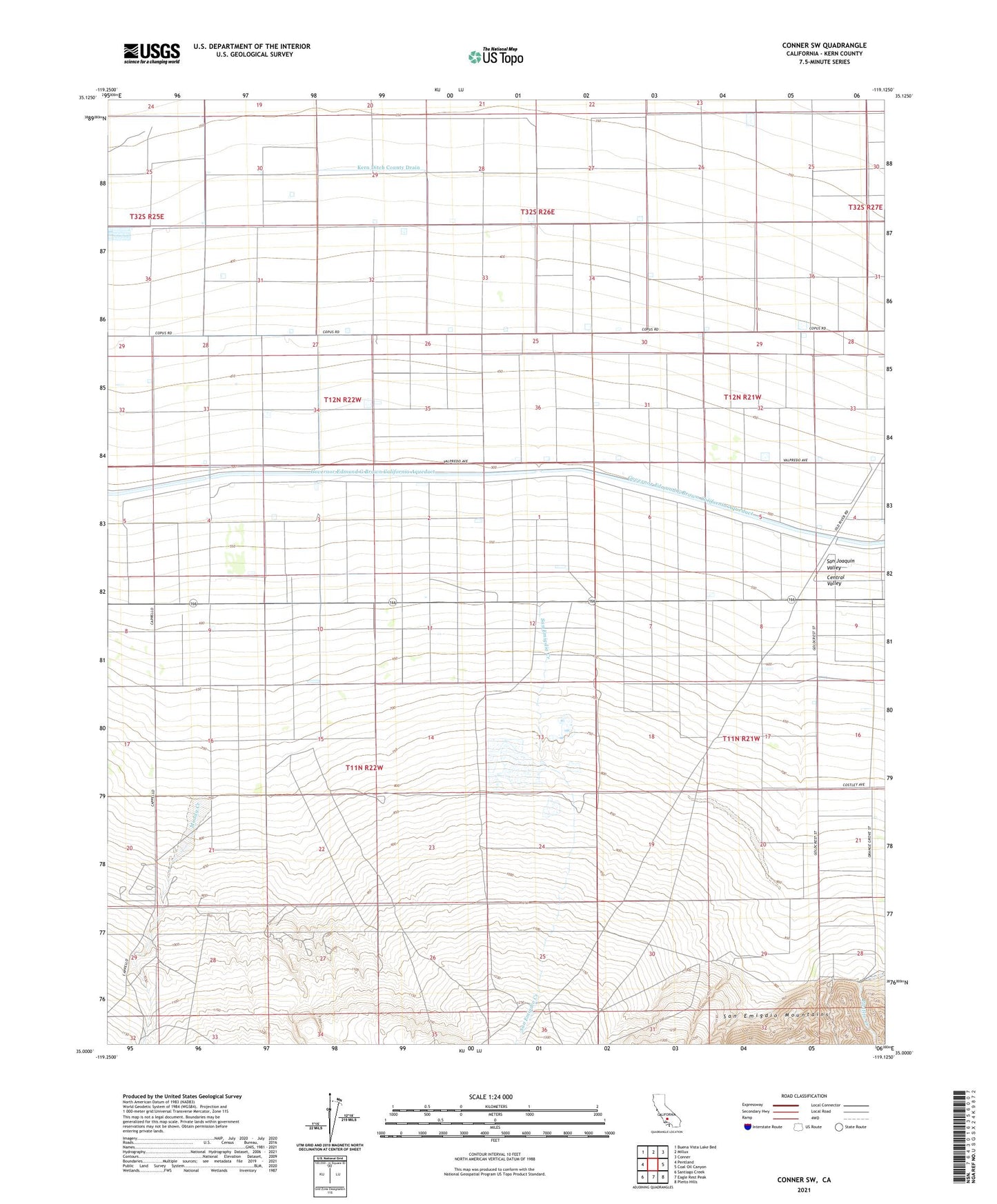
2021 topographic map quadrangle Conner SW in the state of California. Scale: 1:24000. Based on the newly updated USGS 7.5' US Topo map series, this map is in the following counties: Kern. The map contains contour data, water features, and other items you are used to seeing on USGS maps, but also has updated roads and other features. This is the next generation of topographic maps. Printed on high-quality waterproof paper with UV fade-resistant inks.
Quads adjacent to this one:
West: Pentland
Northwest: Buena Vista Lake Bed
North: Millux
Northeast: Conner
East: Coal Oil Canyon
Southeast: Pleito Hills
South: Eagle Rest Peak
Southwest: Santiago Creek
This map covers the same area as the classic USGS quad with code o35119a2.
Contains the following named places: Hayes Ranch, Kern Ditch County Drain, Lakeview Labor Camp, Los Lobos Creek, Los Lobos Oil Field, Muddy Creek, San Emigdio Creek