MyTopo
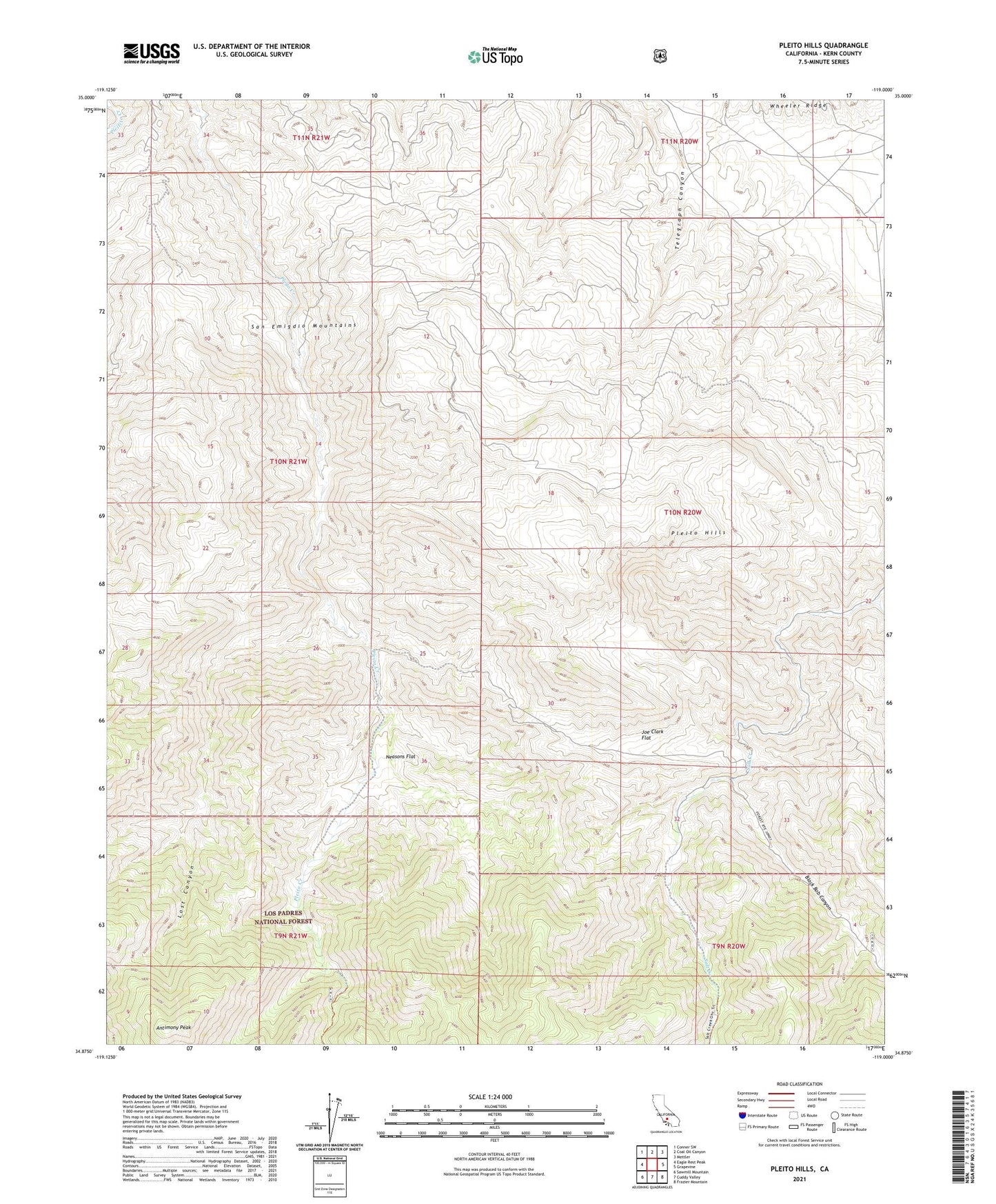
Pleito Hills California US Topo Map
Couldn't load pickup availability
Also explore the Pleito Hills Forest Service Topo of this same quad for updated USFS data
2021 topographic map quadrangle Pleito Hills in the state of California. Scale: 1:24000. Based on the newly updated USGS 7.5' US Topo map series, this map is in the following counties: Kern. The map contains contour data, water features, and other items you are used to seeing on USGS maps, but also has updated roads and other features. This is the next generation of topographic maps. Printed on high-quality waterproof paper with UV fade-resistant inks.
Quads adjacent to this one:
West: Eagle Rest Peak
Northwest: Conner SW
North: Coal Oil Canyon
Northeast: Mettler
East: Grapevine
Southeast: Frazier Mountain
South: Cuddy Valley
Southwest: Sawmill Mountain
This map covers the same area as the classic USGS quad with code o34119h1.
Contains the following named places: Antimony Peak, Black Bob Canyon, Colorful Creek, Harris Ranch, Joe Clark Flat, Lost Canyon, Neasons Flat, Pleito Hills