MyTopo
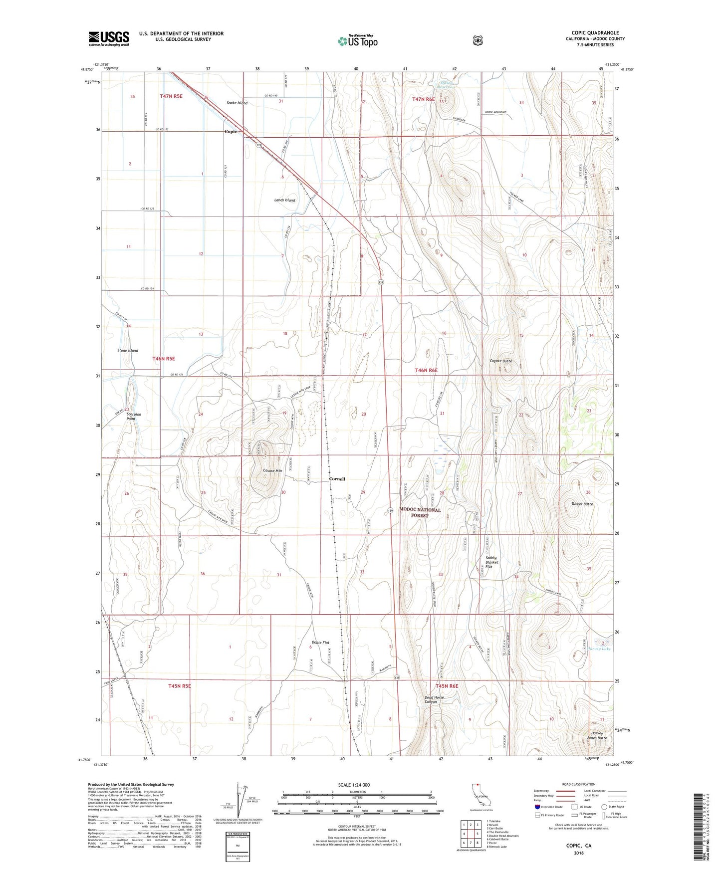
Copic California US Topo Map
Couldn't load pickup availability
Also explore the Copic Forest Service Topo of this same quad for updated USFS data
2021 topographic map quadrangle Copic in the state of California. Scale: 1:24000. Based on the newly updated USGS 7.5' US Topo map series, this map is in the following counties: Modoc. The map contains contour data, water features, and other items you are used to seeing on USGS maps, but also has updated roads and other features. This is the next generation of topographic maps. Printed on high-quality waterproof paper with UV fade-resistant inks.
Quads adjacent to this one:
West: The Panhandle
Northwest: Tulelake
North: Newell
Northeast: Carr Butte
East: Double Head Mountain
Southeast: Rimrock Lake
South: Perez
Southwest: Caldwell Butte
This map covers the same area as the classic USGS quad with code o41121g3.
Contains the following named places: Battle of Lands Ranch, Battle of Scorpion Point, Casuse Mountain, Copic, Copic Bay, Cornell, Coyote Butte, Dead Horse Canyon, Dobie Flat, Harvey Jones Butte, Harvey Lake, Lands Island, Mason Reservoir, Petroglyph Point Trail, Saddle Blanket Flat, Scorpion Point, Snake Island, Stone Island, Tucker Butte