MyTopo
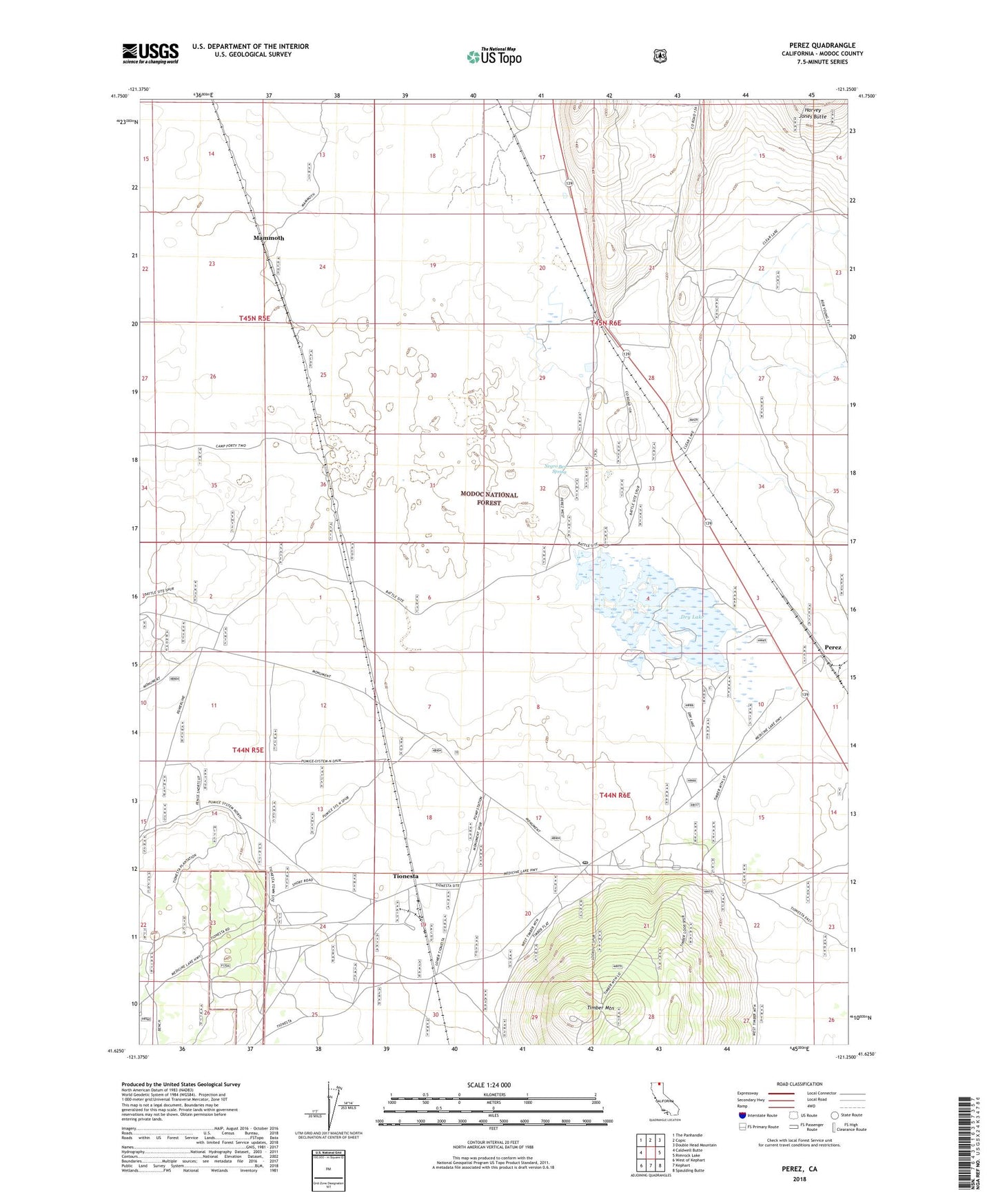
Perez California US Topo Map
Couldn't load pickup availability
Also explore the Perez Forest Service Topo of this same quad for updated USFS data
2021 topographic map quadrangle Perez in the state of California. Scale: 1:24000. Based on the newly updated USGS 7.5' US Topo map series, this map is in the following counties: Modoc. The map contains contour data, water features, and other items you are used to seeing on USGS maps, but also has updated roads and other features. This is the next generation of topographic maps. Printed on high-quality waterproof paper with UV fade-resistant inks.
Quads adjacent to this one:
West: Caldwell Butte
Northwest: The Panhandle
North: Copic
Northeast: Double Head Mountain
East: Rimrock Lake
Southeast: Spaulding Butte
South: Kephart
Southwest: West of Kephart
This map covers the same area as the classic USGS quad with code o41121f3.
Contains the following named places: Ainshea Butte, Battle of Dry Lake 1873, Dalton Ranch, Dry Lake, Dry Lake Forest Service Station, Dry Lake Guard Station, Grandview School, Mammoth, Negro Ben Spring, Newell Division, Perez, Timber Mountain, Tionesta, Tionesta Post Office