MyTopo
Dana Point California US Topo Map
Couldn't load pickup availability
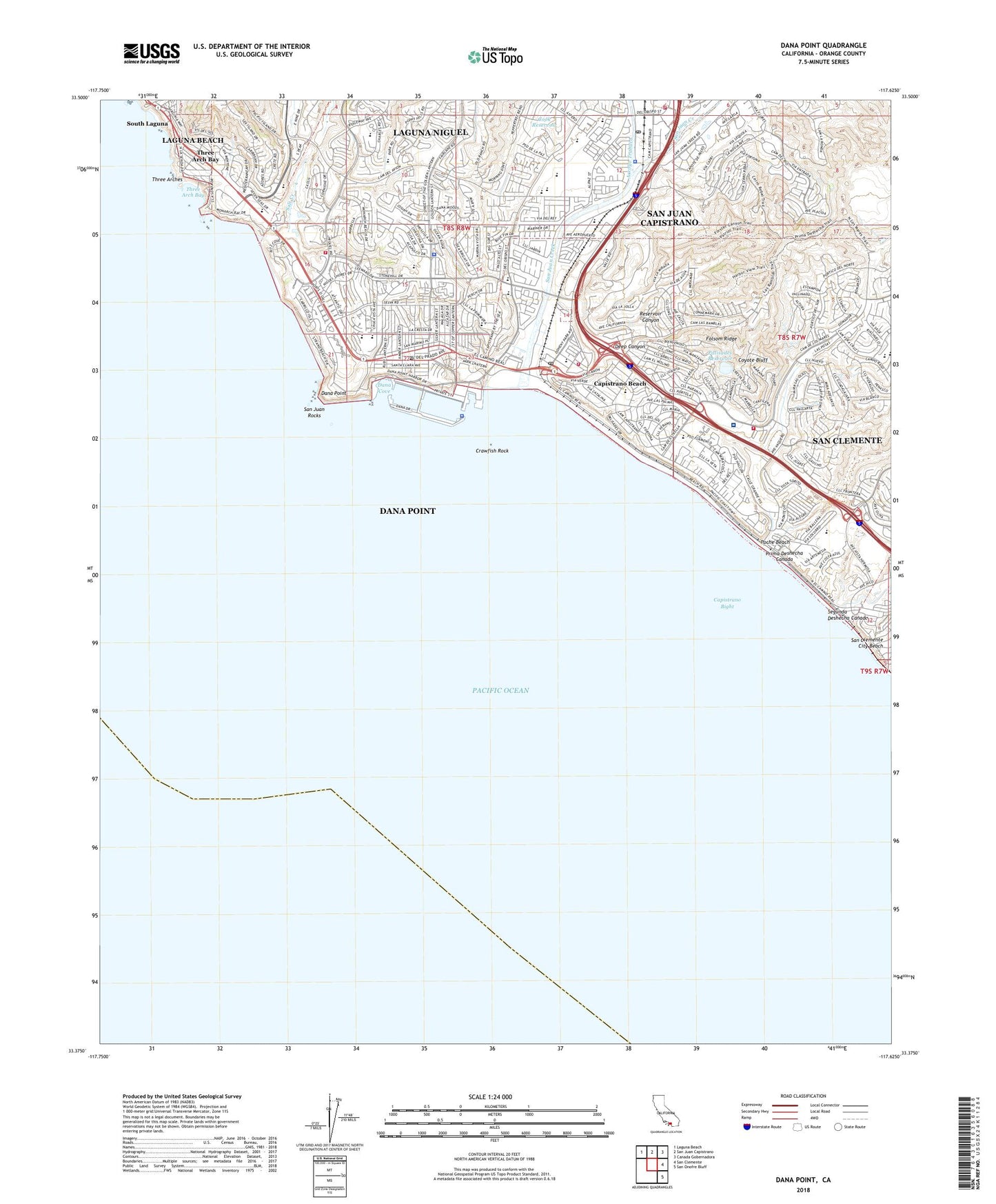
2022 topographic map quadrangle Dana Point in the state of California. Scale: 1:24000. Based on the newly updated USGS 7.5' US Topo map series, this map is in the following counties: Orange. The map contains contour data, water features, and other items you are used to seeing on USGS maps, but also has updated roads and other features. This is the next generation of topographic maps. Printed on high-quality waterproof paper with UV fade-resistant inks.
Quads adjacent to this one:
Northwest: Laguna Beach
North: San Juan Capistrano
Northeast: Canada Gobernadora
East: San Clemente
Southeast: San Onofre Bluff
This map covers the same area as the classic USGS quad with code o33117d6.
Contains the following named places: Arce Park, Arroyo Salado, Beachwood Trailer Park, Boca De La Playa, Bonita Park, California Highway Patrol - Capistrano, Capistrano Airport, Capistrano Beach, Capistrano Beach Park, Capistrano Beach Post Office, Capistrano Bight, Capistrano Terrace Mobile Home Park, Capistrano Valley Christian High School, Capistrano Valley Mobile Home Estates, Capistrano Valley Plaza Shopping Center, City of Dana Point, Cook Reservoir, Coyote Bluff, Crawfish Rock, Dana Cove, Dana Cove Park, Dana Hills High School, Dana Niguel Branch Orange County Public Library, Dana Point, Dana Point - Orange County Sheriff's Office, Dana Point Christian School, Dana Point Harbor, Dana Point Marina Mobile Home Estates, Dana Point Marine Life Refuge, Dana Point Post Office, Deep Canyon, Del Obispo Community Park, Del Obispo Elementary School, Descanso Park, Doheny Marine Life Refuge, Doheny State Beach, East Basin, Folsom Ridge, Gazebo Park, Good Neighbors Park, Heritage Park, Horno Creek, Ken Sampson Overlook, Krum Reservoir, Lantern Bay County Park, Lantern Bay Village Shopping Center, Louise Leydon Park, Marco Forster Middle School, McCracken Reservoir, Mira Costa Park, Mission Bell Park, Monarch Bay Plaza Shopping Center, Niguel Marine Life Refuge, Ocean Knoll Park, Ocean View Plaza Shopping Center, Ole Hanson Beach Club, Orange County Fire Authority Station 29, Orange County Fire Authority Station 30, Orange County Fire Authority Station 50, Orange County Fire Authority Station 7, Orange County Marine Institute, Orange County Sheriff's Department - Dana Harbor Patrol / Dana Point Marine Operations Substation, Palisades Elementary School, Palisades Reservoir, Palisades Reservoir 1022-002 Dam, Pines Park, Plaza del Obispo Shopping Center, Plaza del Rio Shopping Center, Poche Beach, Prima Deshecha Canada, Rancho Alipaz Mobile Home Park, Rancho del Avion Capistrano Mobile Home Park, Reed Reservoir, Reservoir Canyon, RH Dana Elementary School, Saddleback Memorial Medical Center San Clemente, Salt Creek, Salt Creek Beach Park, San Clemente City Beach, San Gorgonio Park, San Juan Capistrano - Orange County Sheriff's Department, San Juan Creek, San Juan Hills Country Club, San Juan Mobile Home Estates, San Juan Plaza Post Office, San Juan Rocks, Sea Canyon Park, Sea Terrace Community Park, Segunda Deshecha Canada, Serra, Serra School, Shorecliffs Country Club, Shorecliffs Middle School, Sunset Park, Three Arch Bay, Three Arches, Thunderbird Park, Trabuco Creek, Villa San Juan Mobile Home Park, West Basin, ZIP Codes: 92624, 92629


