MyTopo
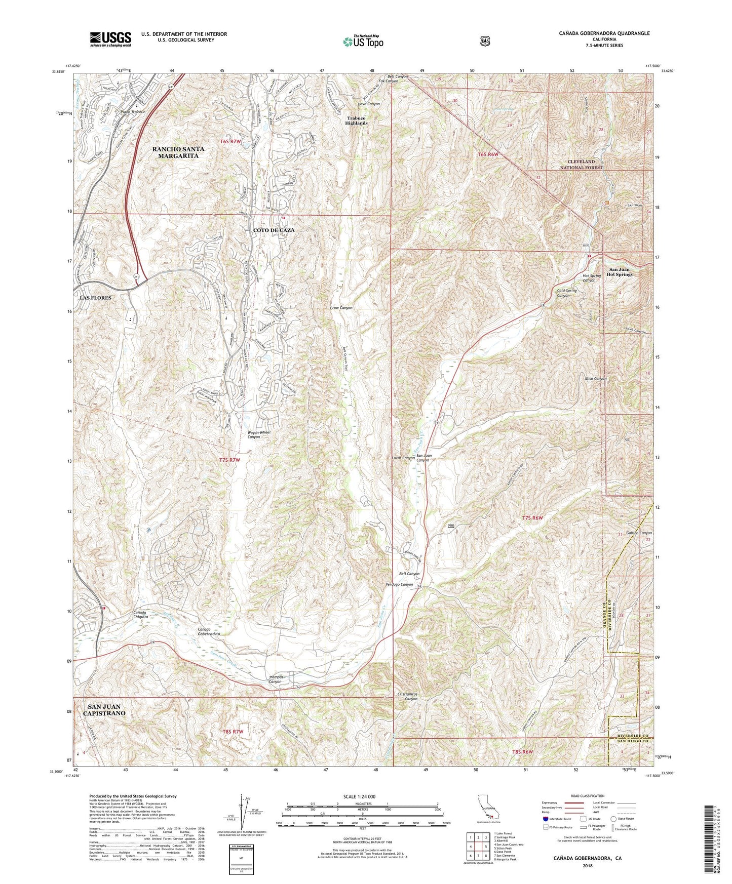
Canada Gobernadora California US Topo Map
Couldn't load pickup availability
Also explore the Canada Gobernadora Forest Service Topo of this same quad for updated USFS data
2022 topographic map quadrangle Canada Gobernadora in the state of California. Scale: 1:24000. Based on the newly updated USGS 7.5' US Topo map series, this map is in the following counties: Orange, Riverside, San Diego. The map contains contour data, water features, and other items you are used to seeing on USGS maps, but also has updated roads and other features. This is the next generation of topographic maps. Printed on high-quality waterproof paper with UV fade-resistant inks.
Quads adjacent to this one:
West: San Juan Capistrano
Northwest: Lake Forest
North: Santiago Peak
Northeast: Alberhill
East: Sitton Peak
Southeast: Margarita Peak
South: San Clemente
Southwest: Dana Point
Contains the following named places: Aliso Canyon, American Display Heliport, Bell Canyon, Canada Chiquita, Canada Gobernadora, Casper Regional Park, Cold Spring Canyon, Coto De Caza, Coto de Caza Census Designated Place, Crow Canyon, Crow Spring, Dove Canyon, Fox Canyon, Hot Spring Canyon, KSBR-FM (Mission Viejo), Las Flores Census Designated Place, Lucas Canyon, Lyon Heliport, Mission Vieja, Mission Viejo Division, Mission Viejo or La Paz, Mission Viejo Sand Pit, Orange County Fire Authority Station 40, Orange County Fire Authority Station 56, Rancho Mission Viejo, Rancho Mission Viejo Census Designated Place, San Francisco Solano, San Juan Canyon, San Juan Hot Springs, San Juan Station, Trabuco Highlands, Trampas Canyon, United States Forest Service Cleveland National Forest Fire Station San Juan, Verdugo Canyon, Wagon Wheel Canyon, Youth Conservation Camp, ZIP Codes: 92675, 92679, 92688, 92694


