
MyTopo
Dixie Mountain California US Topo Map
Couldn't load pickup availability
Also explore the Dixie Mountain Forest Service Topo of this same quad for updated USFS data
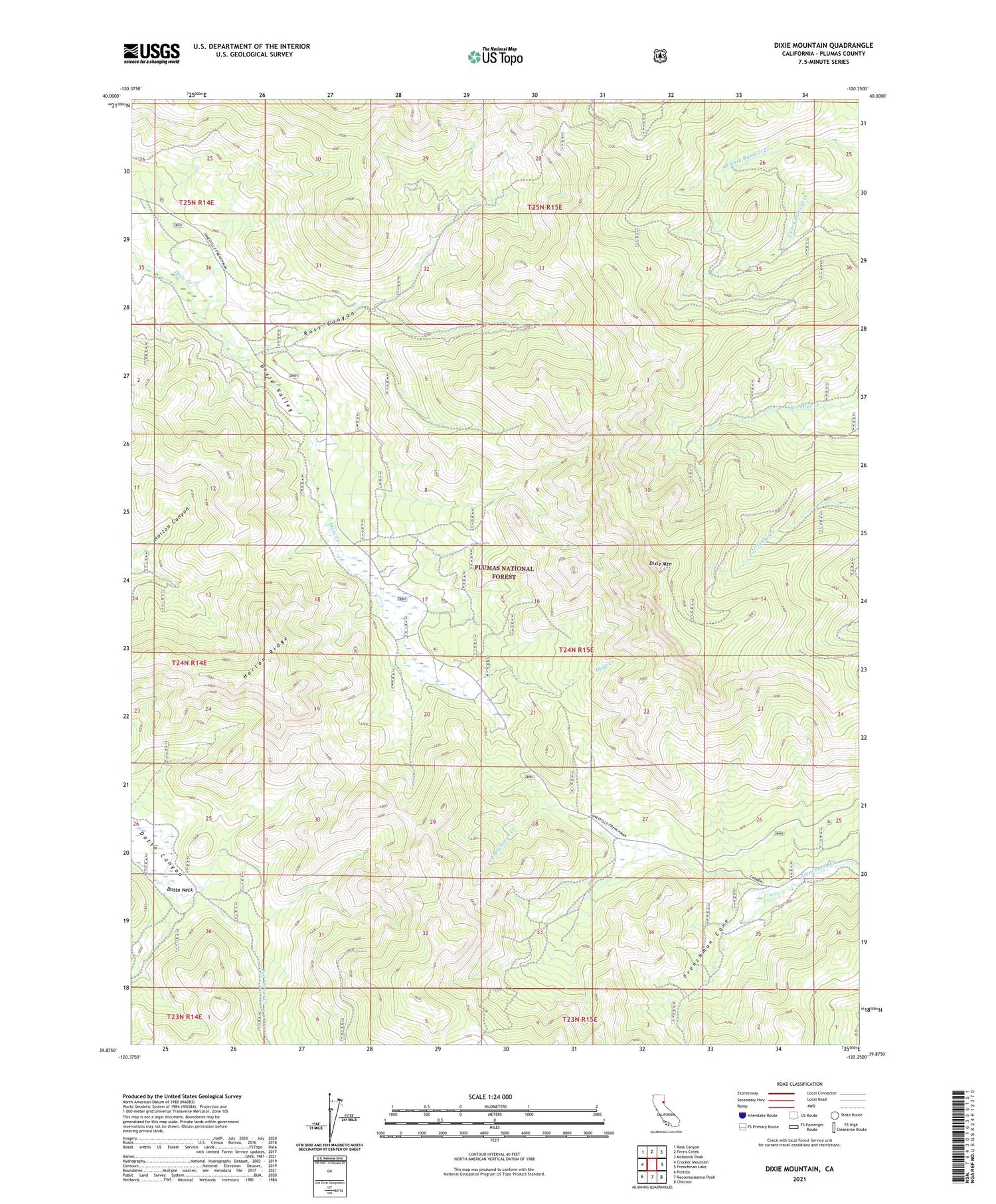
2021 topographic map quadrangle Dixie Mountain in the state of California. Scale: 1:24000. Based on the newly updated USGS 7.5' US Topo map series, this map is in the following counties: Plumas. The map contains contour data, water features, and other items you are used to seeing on USGS maps, but also has updated roads and other features. This is the next generation of topographic maps. Printed on high-quality waterproof paper with UV fade-resistant inks.
Quads adjacent to this one:
West: Crocker Mountain
Northwest: Ross Canyon
North: Ferris Creek
Northeast: McKesick Peak
East: Frenchman Lake
Southeast: Chilcoot
South: Reconnaissance Peak
Southwest: Portola
This map covers the same area as the classic USGS quad with code o39120h3.
Contains the following named places: Dixie Mountain, Dotta Neck, Frenchman Cove, Horton Ridge, Portola Division, Ross Canyon, State Game Refuge One-P


