
MyTopo
Drakes Bay OE S California US Topo Map
Couldn't load pickup availability
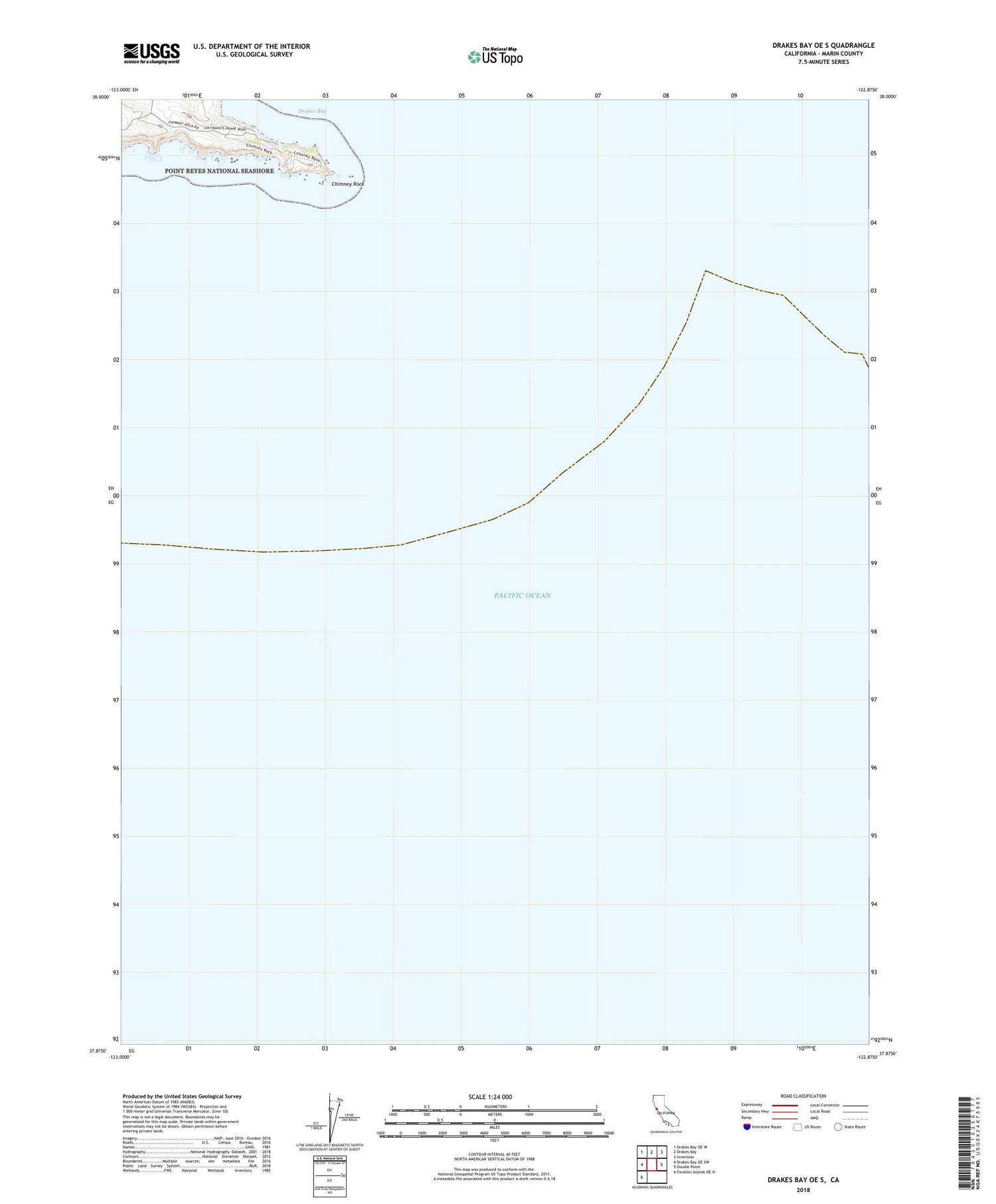
2021 topographic map quadrangle Drakes Bay OE S in the state of California. Scale: 1:24000. Based on the newly updated USGS 7.5' US Topo map series, this map is in the following counties: Marin. The map contains contour data, water features, and other items you are used to seeing on USGS maps, but also has updated roads and other features. This is the next generation of topographic maps. Printed on high-quality waterproof paper with UV fade-resistant inks.
Quads adjacent to this one:
West: Drakes Bay OE SW
Northwest: Drakes Bay OE W
North: Drakes Bay
Northeast: Inverness
East: Double Point
Southwest: Farallon Islands OE N
Contains the following named places: Chimney Rock, Point Reyes Headlands, Point Reyes Lifeboat Station, Point Reyes School


