MyTopo
Inverness California US Topo Map
Couldn't load pickup availability
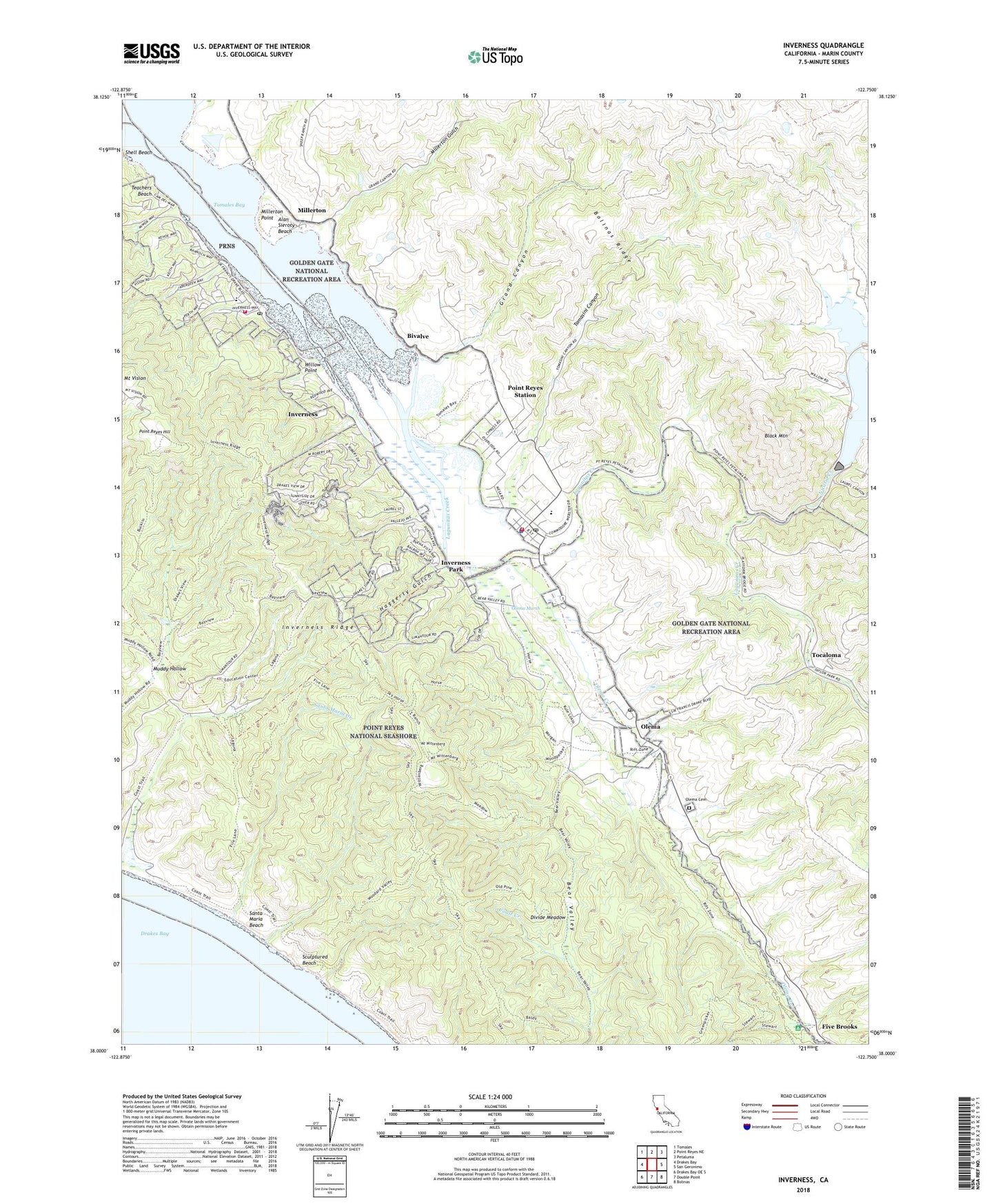
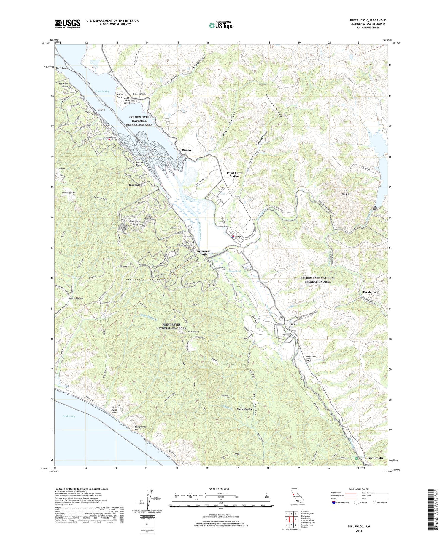
2022 topographic map quadrangle Inverness in the state of California. Scale: 1:24000. Based on the newly updated USGS 7.5' US Topo map series, this map is in the following counties: Marin. The map contains contour data, water features, and other items you are used to seeing on USGS maps, but also has updated roads and other features. This is the next generation of topographic maps. Printed on high-quality waterproof paper with UV fade-resistant inks.
Quads adjacent to this one:
West: Drakes Bay
Northwest: Tomales
North: Point Reyes NE
Northeast: Petaluma
East: San Geronimo
Southeast: Bolinas
South: Double Point
Southwest: Drakes Bay OE S
This map covers the same area as the classic USGS quad with code o38122a7.
Contains the following named places: Alan Sieroty Beach, Baldy Trail, Bayview Trail, Bear Valley Ranch, Bear Valley Trail, Bear Valley Visitor Center, Beatty Trail, Bivalve, Black Mountain, Borello Quarry, Clem Miller Environmental Education Center, Coast Campground, Coast Guard Communication Area Master Station Pacific, Coast Trail, Divide Meadow, Drakes View Trail, Five Brooks, Grand Canyon, Greenpicker Trail, Haggerty Gulch, Inverness, Inverness Branch Marin County Free Library, Inverness Census Designated Place, Inverness Elementary School, Inverness Park, Inverness Post Office, Inverness Ridge, Inverness Volunteer Fire Department, Jewell Trail, Laguna Ranch, Laguna Trail, Lagunitas Creek, Marin County Fire Department Point Reyes Station, Marin County Sheriff's Office Point Reyes Substation, Martinelli Park, Meadow Trail, Millerton, Millerton Gulch, Millerton Point, Mount Vision, Mount Wittenberg, Muddy Hollow, Nicasio, Nicasio Creek, Nicasio Dam, Northwest Marin Division, Old Pine Trail, Olema, Olema Cemetery, Olema Creek, Olema Marsh, Olema Post Office, Olema School, Phillip Burton Wilderness, Point Reyes Hill, Point Reyes School, Point Reyes Station, Point Reyes Station Branch Marin County Free Library, Point Reyes Station Census Designated Place, Point Reyes Station Post Office, Punta De Los Reyes, Rogers Dam, Santa Maria Beach, Santa Maria Creek, Sculptured Beach, Seahaven, Shell Beach, Sky Campground, Sky Trail, Teachers Beach, Tocaloma, Tomales Bay Ecological Reserve, Tomales Y Baulines, Tomasini Canyon, U Ranch, West Marin Elementary School, White House Pool, Willow Point, Woodward Valley Trail, Z Ranch, ZIP Codes: 94950, 94956


