MyTopo
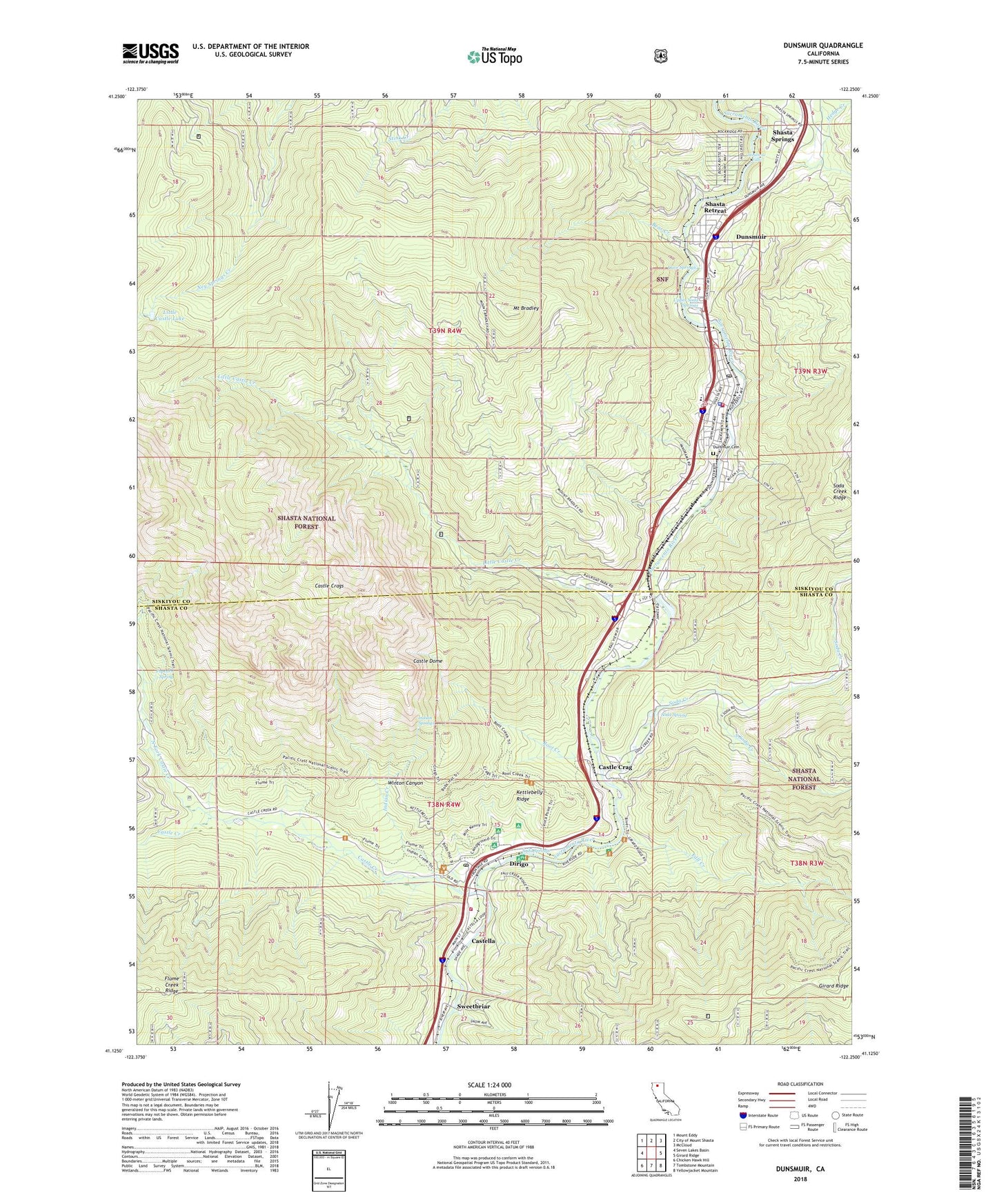
Dunsmuir California US Topo Map
Couldn't load pickup availability
Also explore the Dunsmuir Forest Service Topo of this same quad for updated USFS data
2022 topographic map quadrangle Dunsmuir in the state of California. Scale: 1:24000. Based on the newly updated USGS 7.5' US Topo map series, this map is in the following counties: Siskiyou, Shasta. The map contains contour data, water features, and other items you are used to seeing on USGS maps, but also has updated roads and other features. This is the next generation of topographic maps. Printed on high-quality waterproof paper with UV fade-resistant inks.
Quads adjacent to this one:
West: Seven Lakes Basin
Northwest: Mount Eddy
North: City of Mount Shasta
Northeast: McCloud
East: Girard Ridge
Southeast: Yellowjacket Mountain
South: Tombstone Mountain
Southwest: Chicken Hawk Hill
This map covers the same area as the classic USGS quad with code o41122b3.
Contains the following named places: Assembly of God Church of Dunsmuir, Bear Creek, Castella, Castella Census Designated Place, Castella Fire Protection District, Castella Post Office, Castle Crag, Castle Crags, Castle Crags Post Office, Castle Crags State Park, Castle Creek, Castle Creek Campground, Castle Dome, Castle Lake Trail, Castle Rock Elementary School, Cave Springs, Church of Christ, City of Dunsmuir, Crags Trail, Dirigo, Dunsmuir, Dunsmuir - Castella Fire Department, Dunsmuir Branch Siskiyou County Public Library, Dunsmuir Cemetery, Dunsmuir Division, Dunsmuir Elementary School, Dunsmuir High School, Dunsmuir Post Office, Fall Creek, Girard Lookout, Hedge Creek, Indian Creek, Indian Creek Trail, Indian Springs, Kettlebelly Ridge, Little Castle Creek, Little Castle Lake, Mossbrae Falls, Mount Bradley, North Fork Castle Creek, Popcorn Spring, River Trail, Riverwood Mobile Home Estates, Root Creek, Root Creek Trail, Saint Johns Catholic Church, Shasta Retreat, Shasta Springs, Siskiyou County Sheriff's Office Dunsmuir, Siskiyou Police Department, Small, Soda Creek, Soda Spring, Soda Springs, South Soda Creek, Sulphur Creek, Sweetbriar, Upper Soda Springs, Winton Canyon, ZIP Code: 96025


