MyTopo
Fairfield North California US Topo Map
Couldn't load pickup availability
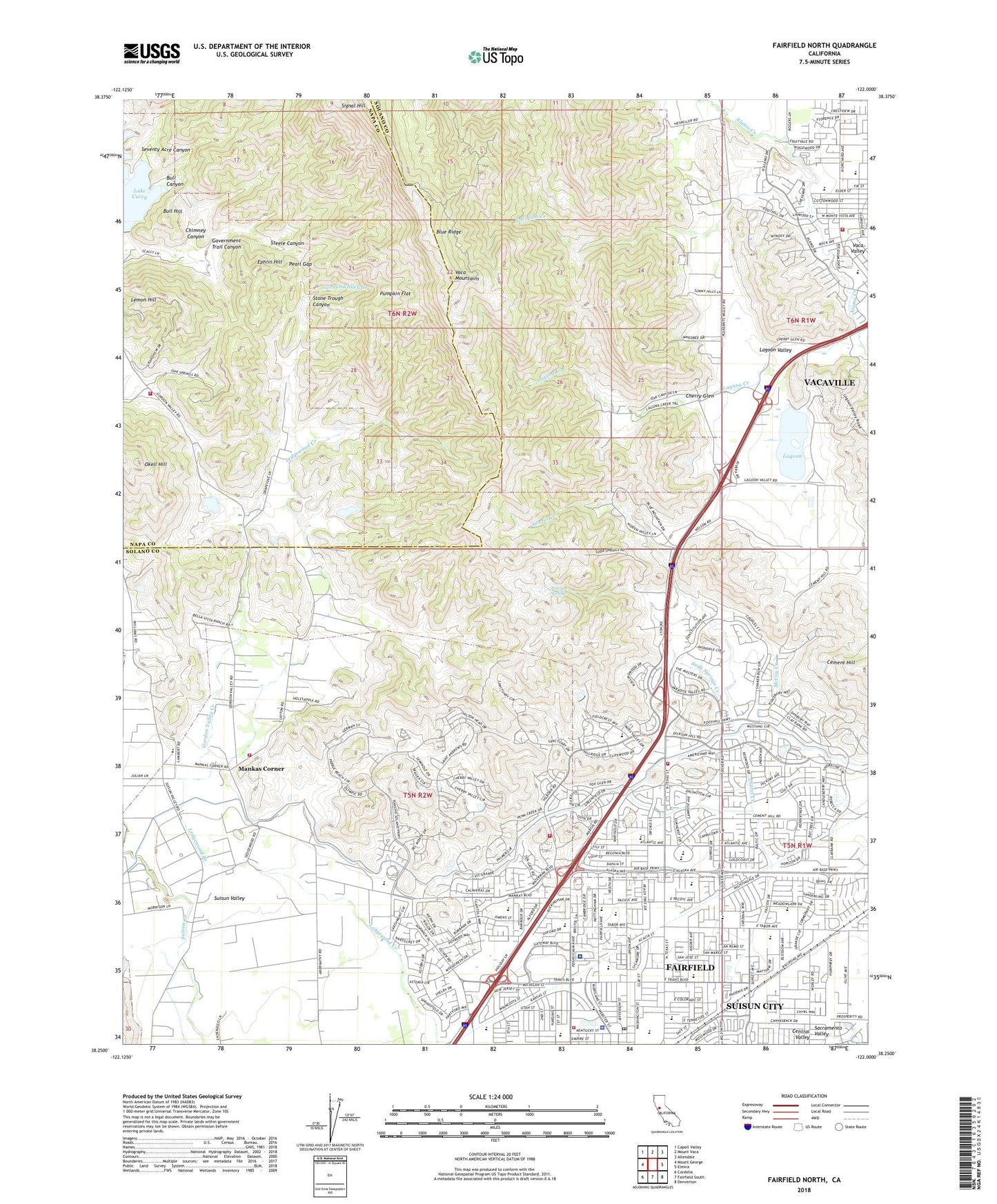
2021 topographic map quadrangle Fairfield North in the state of California. Scale: 1:24000. Based on the newly updated USGS 7.5' US Topo map series, this map is in the following counties: Solano, Napa. The map contains contour data, water features, and other items you are used to seeing on USGS maps, but also has updated roads and other features. This is the next generation of topographic maps. Printed on high-quality waterproof paper with UV fade-resistant inks.
Quads adjacent to this one:
West: Mount George
Northwest: Capell Valley
North: Mount Vaca
Northeast: Allendale
East: Elmira
Southeast: Denverton
South: Fairfield South
Southwest: Cordelia
This map covers the same area as the classic USGS quad with code o38122c1.
Contains the following named places: Accolade Christian School, Alamo Creek Park, Alamo Elementary School, Alamo Plaza Shopping Center, Anna Kyle Elementary School, Bull Canyon, Bull Hill, California Highway Patrol Golden Gate Division - Solano, Charles L Sullivan Middle School, Cherry Glen, Chimney Canyon, City of Fairfield, Cleo Gordon Elementary School, Community Presbyterian Church, David Weir Preparatory Academy, Dickson Hill 1052 Dam, Dickson Hill Water Treatment Plant, Dover Academy for International Studies, Dover Park, Dover School, Encinosa Creek, Ephlin Hill, Fairfield - Suisun Adult School, Fairfield City Hall, Fairfield Civic Center, Fairfield Fire Department Station 37, Fairfield Fire Department Station 40, Fairfield Fire Department Station 41, Fairfield High School, Fairfield Medical Arts Center, Fairfield Police Department, Fairfield Post Office, Fairfield School, Fairfield-Suisun Adult School, Fairfield-Suisun Community Branch Solano County Public Library, Fairmont Memorial Park, Fairview Elementary School, Geri Towne Shopping Center, Gomer School, Gordon Valley Creek, Gordon Valley Dam, Gordon Valley School, Government Trail Canyon, Grange Middle School, H Glenn Richardson Education Complex, Hemlock Elementary School, Hillview Park, Holy Spirit School, K I Jones Elementary School, Kaiser Permanente Medical Center, KUIC-FM (Vacaville), Lagoon, Lagoon Valley, Laguna Creek, Lake Curry 14 Dam, Laurel Creek Park, Lee Bell Park, Lemon Hill, Linear Park, Mankas Corner, Mankas Park, Mary Bird High School, McCoy Creek, Mission Village Shopping Center, Napa County Fire Department Station 22 Gordon Valley, North Orchard Park, NorthBay Medical Center, Okell Hill, Olson 1410 Dam, Orchard Avenue Baptist Church, Pearl Gap, Pena House Historic Site, Pennsylvania Creek 1-033 Dam, Public Safety Academy, Pumpkin Flat, Rancho Solano Municipal Golf Course, Saint Alphonsus Catholic Cemetery, Sem Yeto Continuation High School, Seventy Acre Canyon, Soda Springs Creek, Solano Christian Academy, Solano Mall Shopping Center, Steele Canyon, Stone Trough Canyon, Suisun, Suisun Fire Protection District Station 32, Suisun Valley, Suisun Valley K - 8 School, Sunrise Park, Tabor Park, Tolenas, Tolenas Springs, Vacaville Airport, Vacaville Fire Department Station 71, Veterans Park, Waterman Water Treatment Plant, Willis Jepson Middle School, Wood Creek Park, ZIP Code: 94533


