MyTopo
Ferndale OE W California US Topo Map
Regular price
$16.95
Regular price
Sale price
$16.95
Unit price
per
Couldn't load pickup availability
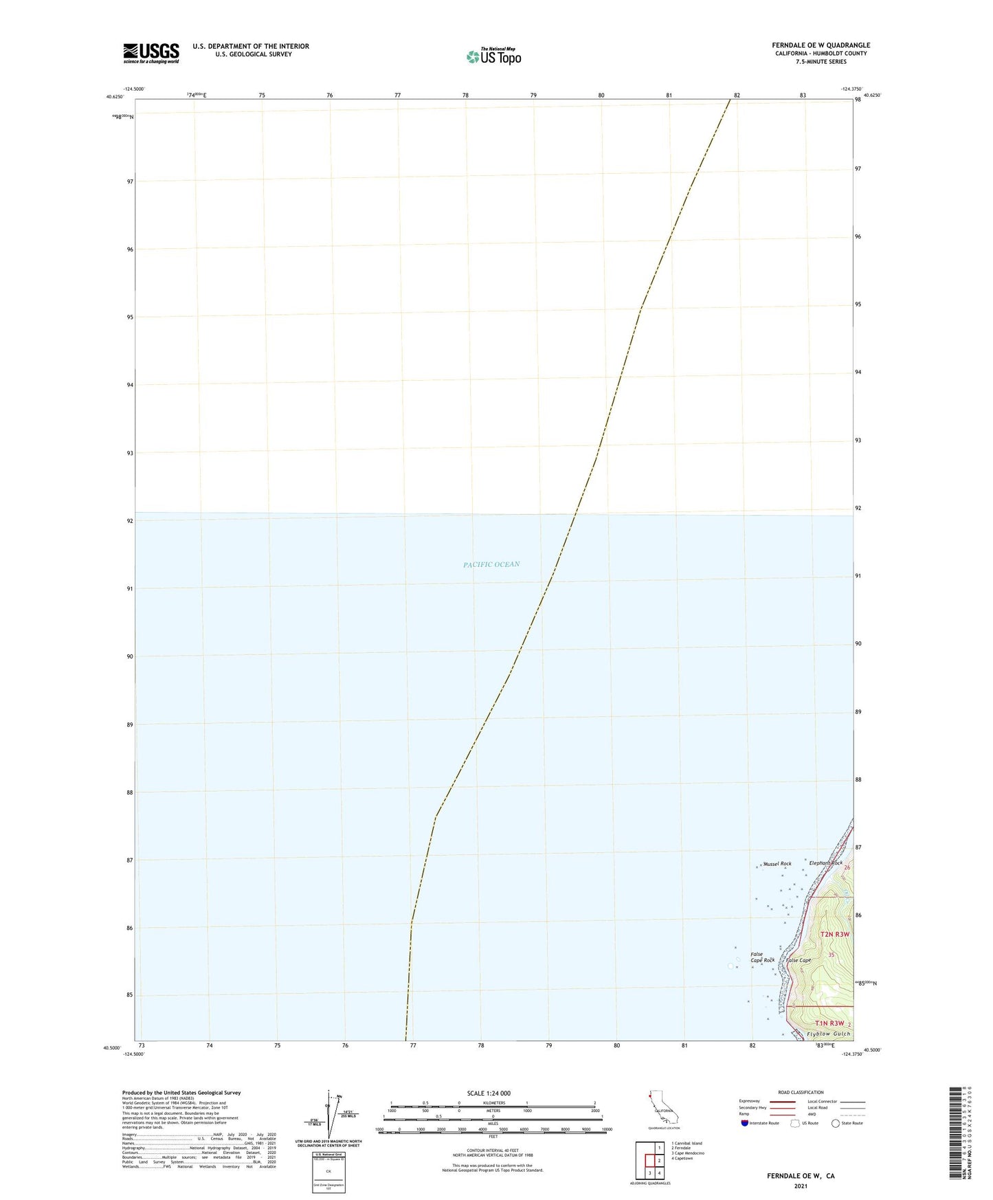
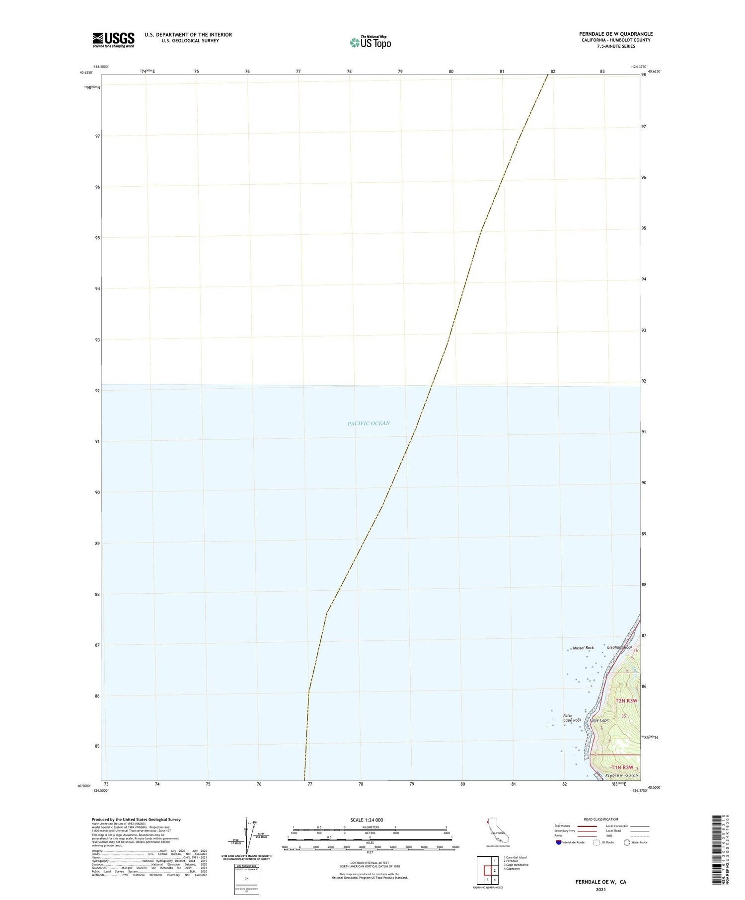
2021 topographic map quadrangle Ferndale OE W in the state of California. Scale: 1:24000. Based on the newly updated USGS 7.5' US Topo map series, this map is in the following counties: Humboldt. The map contains contour data, water features, and other items you are used to seeing on USGS maps, but also has updated roads and other features. This is the next generation of topographic maps. Printed on high-quality waterproof paper with UV fade-resistant inks.
Quads adjacent to this one:
Northeast: Cannibal Island
East: Ferndale
Southeast: Capetown
South: Cape Mendocino
Contains the following named places: Elephant Rock, False Cape, False Cape Rock, Flyblow Gulch, Mussel Rock, Oil Creek, West Point Ranch